
Willamette valley Short Tour
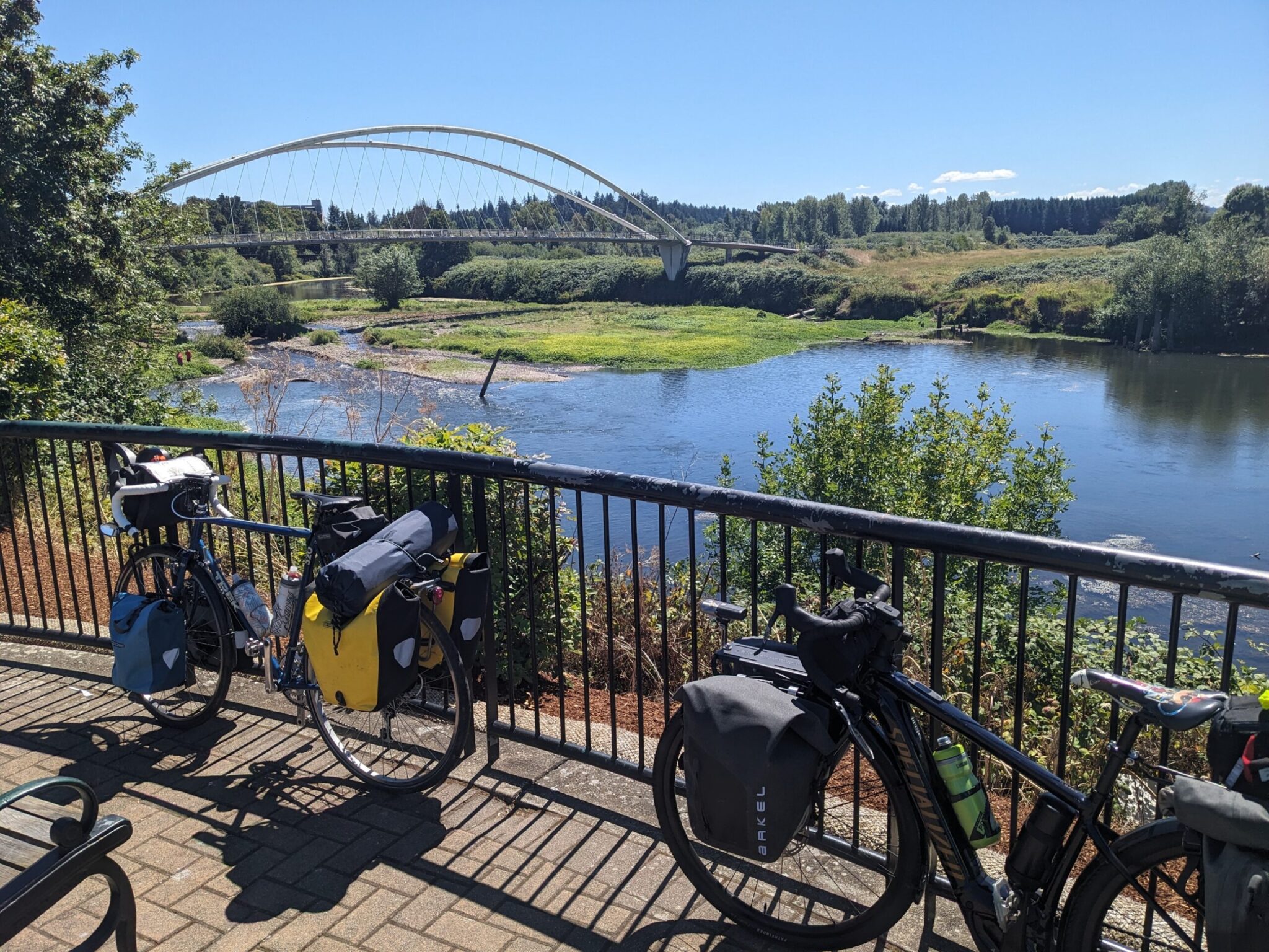 Much of the terrain in Oregon is steep and rugged, best tackled by touring adventurers with thighs of steel. However, there is a strip of land in the northwest quadrant of the state that offers cyclists with modest experience and fitness the opportunity to experience several days of continuous cycling in some glorious countryside.
The wide, flat valley that spreads out from the Willamette River is dotted with small towns, as well as the state capital (Salem) and two nice college towns (Corvallis and Eugene). The fertile fields between are filled with farms growing hops, grapes, and blueberries.
Back in the early 2000’s, Cycle Oregon mapped a route through the area. It’s called the Willamette Valley Scenic Bikeway. I rode it end-to-end in 2013 and thought is was beautiful. A friend in Portland has been wanting to try camping on a tour, so I proposed a repeat ride this summer and it was every bit as I enjoyable as I remembered. Because of issues with campsite reservations, we made a diversion west of Junction City and Eugene at the end (instead of going east through Brownsville), and it was aruably even better than the official route.
We kept a casual pace, stopping often to enjoy the sights, and covered the 145 mile trek in four days.
Official Site: Willamette Valley Scenic Bikeway
Difficulty: Easy-to-Moderate
Ride Type: One Way
Surface: Paved
★★★★★
The Good:
- Mostly flat riding on quiet farm roads
- Stunning scenery
- Warm, dry summer weather
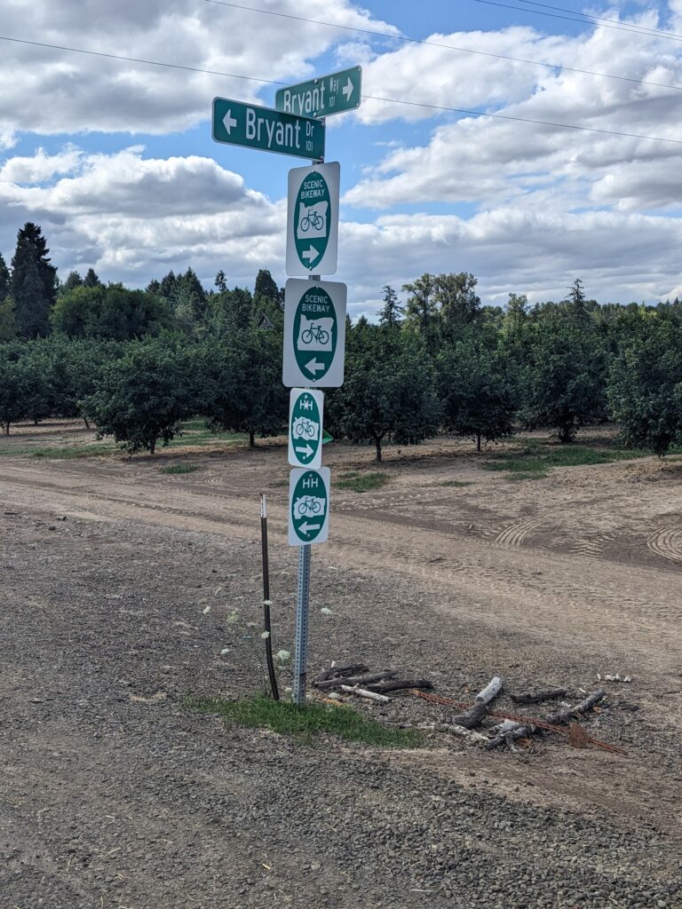
- Excellent signage
- Towns with services along the entire route
- Adequate lodging and camping options
- Amtrak runs nearby – providing some flexibility
The Bad:
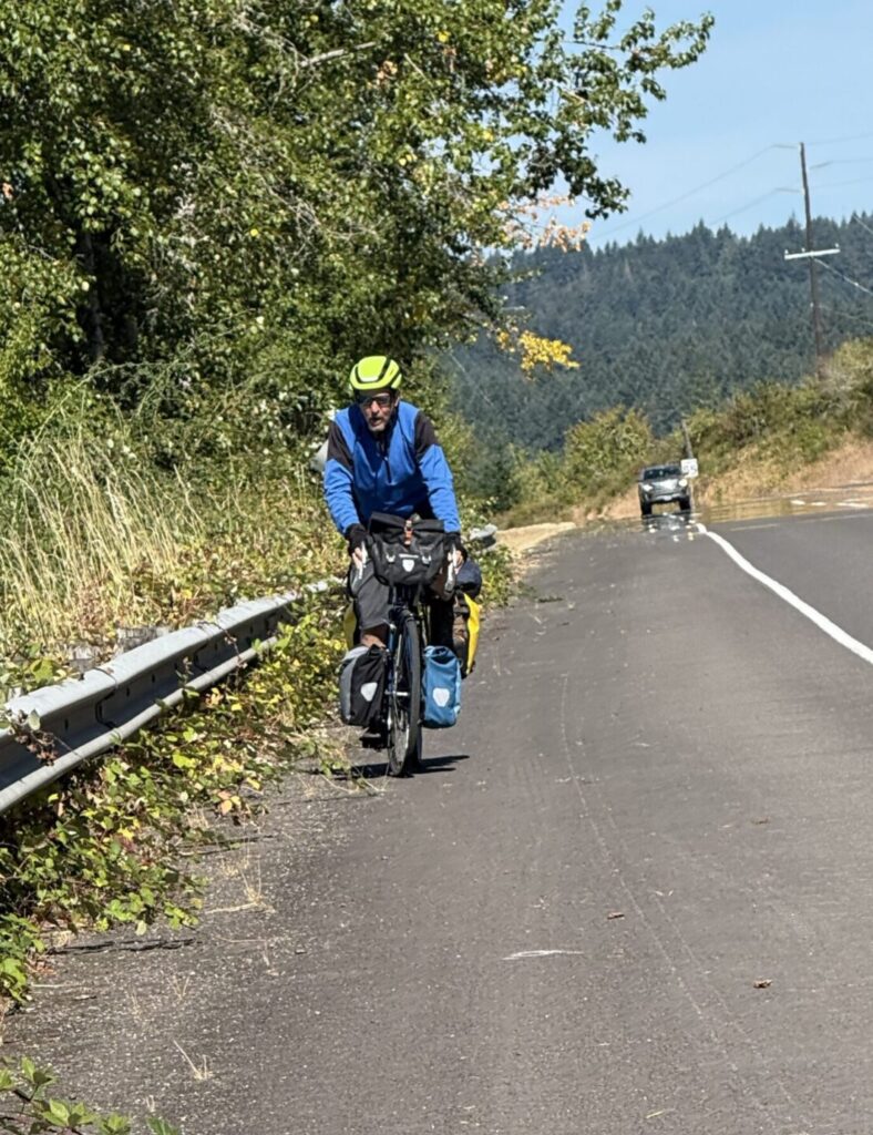
- About 10% of the route is on the shoulders of busy roads
- Camping reservations can be challenging, especially on summer weekends
Feel free to jump ahead to a section of the ride:
- Day 1: Champoeg to Independence
- Day 2: Independence to Albany
- Day 3: Albany to Fern Ridge Lake
- Day 4: Fern Ridge Lake to Eugene
- Possible Alternate Routes
- The Verdict
Route Map
General Considerations
Climate and terrain
This area is reasonably populous, with towns at regular intervals. It’s easy to find food and water.
- Of course, it always makes sense to keep your water bottles filled and pack some food – at least some trail mix or energy bars.
- Supplies may not be available near your campsite, so keep a meal or two of dry or canned goods if you’re camping.
- Pack a repair kit (tube, patch kit, pump/inflator, tire levers, multi-tool, cable ties).
- Cell service is available in most locations, but it’s still not a bad idea to load gps/phone maps offline, just in case.
- Keep an eye on the weather forecast. Oregon is generally dry and warm in the summer, but the spring and fall are wet. Waterproof panniers and good rain gear are essential in the rainy months.
- Though much of the route is flat, be prepared for a few strenous hills that might be challenging on a loaded bike.
LOOP vs. One-Way
We rode the route one-way, starting at the northern terminus at Champoeg State Park and ending in Eugene, partly because the prevailing winds are out of the north. However, this is not usually a terribly windy area, so don’t worry about reversing direction if it’s more convenient.
It would also be easy to turn this into a longer loop ride by selecting some other quiet section of the valley for a return trip. There is no shortage of beautiful farm roads to choose from.
One semi-loop option would be parking at Champoeg, riding the route to Eugene, then taking a train to Salem for a short ride back to your car.
Bike Selection and preparation
The route is almost entirely paved, so a wide array of bikes could be suitable. The optimal choice depends on how much gear you plan to carry. Tires in the range of 28mm to 40mm wide will provide a good mix speed and comfort.
Since I live in Philly, my regular stable of touring rigs isn’t available in Oregon. In 2013, I rode a borrowed flat-bar hybrid with a suspension fork. It was fine, but couldn’t accomodate a front rack, so packing for camping was challenging. This year, a well-worn vintage Trek 520 touring bike from Craigslist was perfect (after some basic maintenance). My traveling partner rode a Specialized road bike with electric assist. Outlets for charging weren’t hard to find.
Some means of carrying supplies is essential. Any decent rear rack and a set of panniers can do the job. For camping, front racks and panniers are also be helpful. You can read about my camping-touring setup at this post.


Critters
Much of this trail is rural and I always worry about being chased by dogs. We had a couple of minor incidents, but most people had fences and leashes. Keep your eyes open and avoid stopping near driveways.
Though western rattlesnakes live in this area, they aren’t terribly common or aggressive.
There are no grizzly bears in Oregon. However, there are black bears, coyotes, wolves, raccoons, etc. None of those typically pose any danger to humans, but it’s always a good idea to hang your food from a tree when camping.
Thankfully, mosquitos and other biting insects aren’t usually much of a problem. Still, carrying some bug spray won’t hurt.
The Official Route
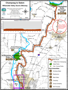
 Most of this route follows roads that are designated for cycling as part of the Willamette Valley Scenic Bikeway. Information is available at the Official Website. Some campsites, hotels, and BnB’s have committed to be bicycle friendly.
There used to be an official, multi-page printable map, but it’s gotten hard to find. Fortunately, I kept the file on my hard drive:
Getting There and Parking
 One end of the route is at Champoeg State Heritage Area, about 30 miles south of Portland. It’s possible to cycle down from the city, and most of the urban ride is along bike paths (e.g. Trolley Trail or I-205 Path). However, from Oregon City to Champoeg, roads are the only option. The section between Oregon City and Canby poses the biggest challenge. You can either take South End Road and brave a harrowing stretch along busy, narrow 99E or climb some challenging hills along the safer Center Point Rd. I’ve ridden both and would opt for the hills if faced with the choice again. This summer, we got a ride to the park and avoided the dilemma altogether.
Champoeg (800-551-6949) has a big parking lot at the Visitor’s Center and I suspect they would accomodate some multiday parking for cyclists.
 The southern terminus is in Eugene. The official WVSB ends at Armitage Park. You can contact them at 541-682-2000 to inquire about multi-day parking. A quick internet search indicates numerous parking options in downtown Eugene as well.
The entire route conveniently parallels the Amtrak Cascades line, which offers bike service and stops at stations in Eugene, Albany, Salem, Oregon City, and Portland. From there the train heads north into Washington state. We took it from Eugene to Vancouver, WA. The staff was helpful with the bikes, the fare was reasonable, and the scenery was nice.
Day #1
Champoeg to Independence (44 mi, 1000 ft climbing)
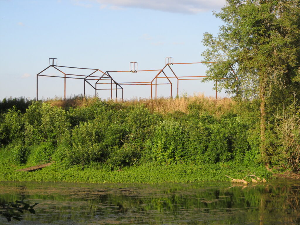
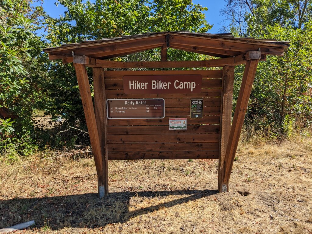
The route starts right at the entrance to Champoeg State Heritage Area, a park with extensive campgrounds and a collection of historic sites and buildings that commemorate the settlers who voted here in 1843 to form the first government in the Northwest. Camping options include comfortable yurts and an inexpensive group hiker/biker area.
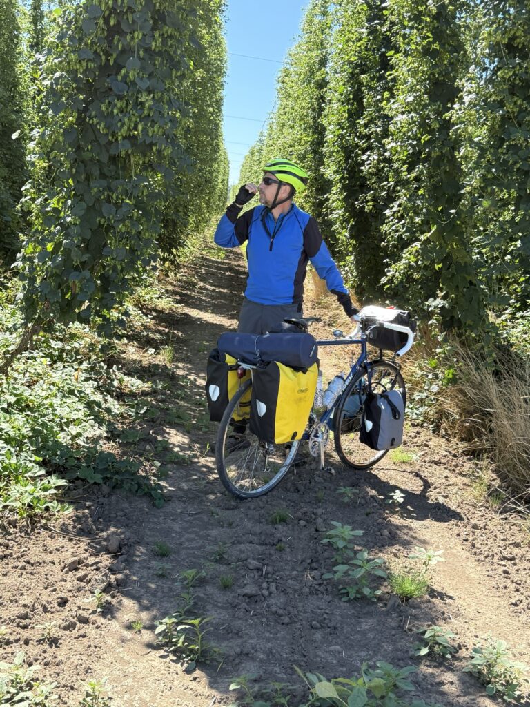
Heading south out of the park, a collection of beautiful, quiet country roads guide you past hop farms and nurseries about 20 miles to Willamette Mission State Park, which marks the site of a Methodist mission established in 1834 and washed away by a flood in 1861. This park also offers an inexpensive hiker/biker group site ($7 for Oregon residents in 2026). Don’t get too excited about the “Nation’s Largest Black Cottonwood”, which seems to be nearing the end of its days. The bike trail to the Wheatland Ferry is a worthwhile diversion, though.
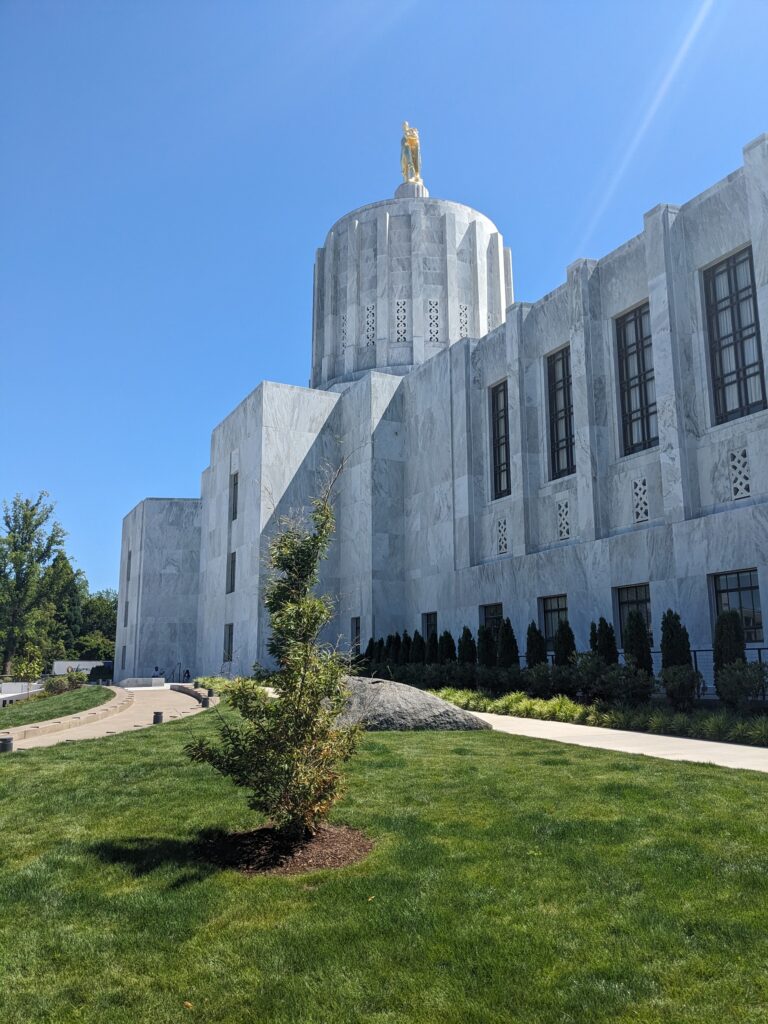
Less than 10 miles later, the bucolic back roads give way to suburban streets that parallel the river through residential neighborhoods into Salem. The capitol since 1851, this city of 180,000 is easy to navigate and offers plenty of options for shopping and dining. Diversions to the capitol grounds and pretty Riverside Park are recommended.
Continuing south, the route follows busy River Road, where the “bike lane” is little more than a bike symbol painted on the shoulder. Avoid this section at rush hour if possible. Otherwise, the views are nice and the gentle curves and moderate hills keep the ride interesting.
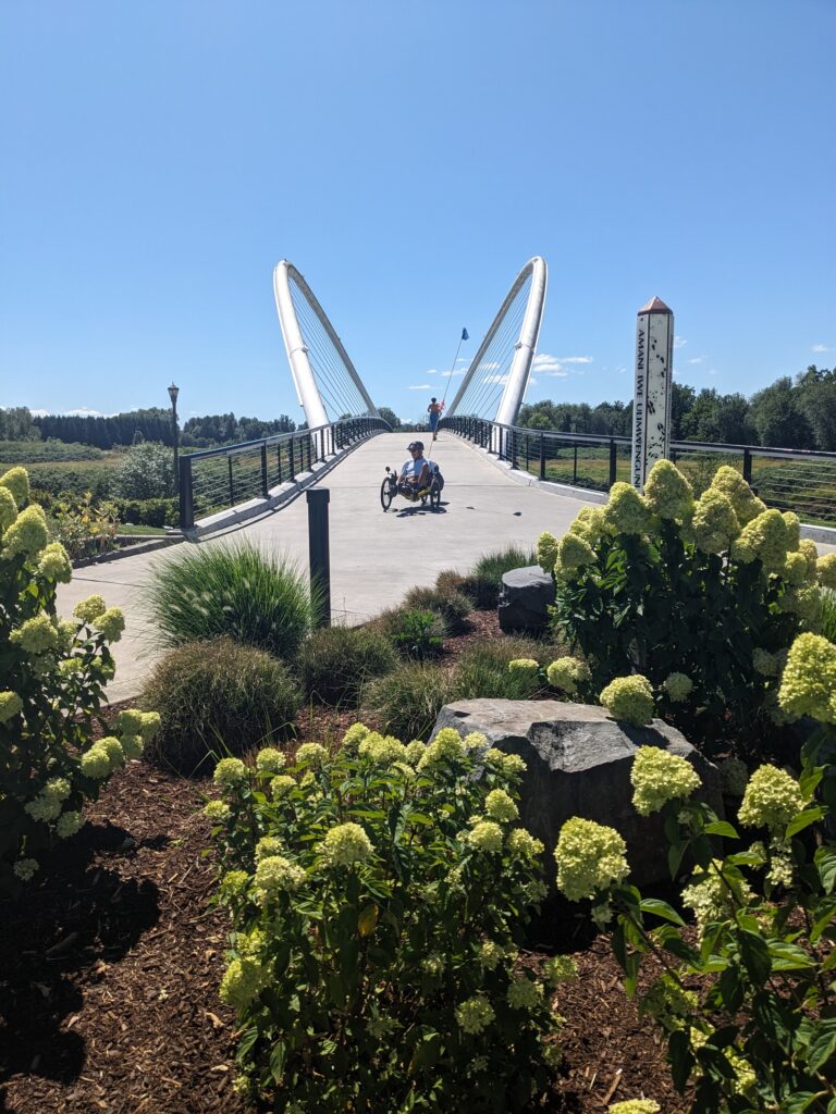
After another 10 miles, the road reaches the bridge across the river to Independence, where Riverview Park has a welcoming Biker/Boater campground ($10 in 2026) that is a short walk from the shops and restaurants in the cute downtown.
The Good:
-
- Beautiful, quiet farm roads north of Salem
- Camping possible at Champoeg, Willamette Mission, and Independence Riverview Park
- Moderate climbing
- Excellent signage
The Bad:
-
- River Road is busy south of Salem



Day #2
Independence to Albany (42 mi, 1000 ft climbing)
Heading out of Independence, we zigged and zagged south along the river for about 10 miles before turning east near the Buena Vista ferry. This is a lovely collection of quiet roads dotted with farm houses, blueberry fields, and vineyards.
As the route shifts away from the Willamette and begins to parallel the Santiam River on Talbot Road, broad valley vistas open and the foothills of the Cascades appear in the distance. Wheat fields slowly replace the berries and grapes. In another 10 miles, the road is in the center of the valley, entering the pleasant small town of Jefferson. This is the best opportunity of the day to stop for lunch at a local restaurant or grocery. The friendly staff served us a delicious meal at Tawan Tasty Thai Restaurant.
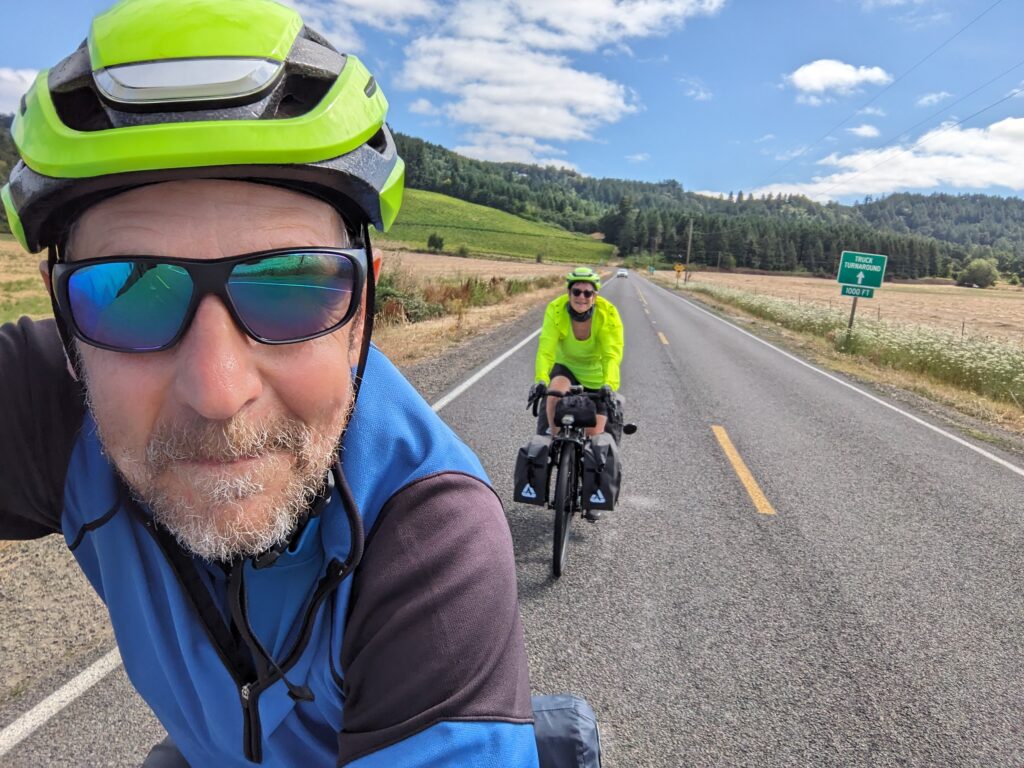
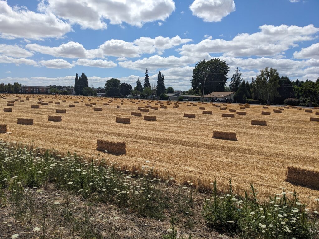
From Jefferson, the route moves south on Scravel Hill Road where a bit of climbing is rewarded with amazing views of endless golden fields broken by patches of deep green trees and backdrops of the Coastal Range to the west and the Cascades to the east.
From there, we wound our way back to the Willamette at Albany, a city of 60,000 with an attractive historic district and riverfront park. This is a good place to find a hotel or buy provisions for camping.
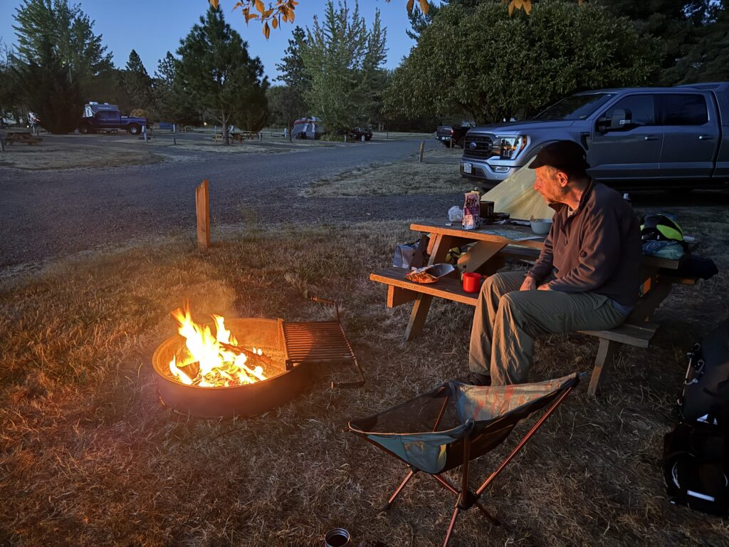
We pushed on 5 miles south to a KOA near the intersection of I-5 and busy Route 34. The most convenient camping spot in this region, this chain campground was totally acceptable, with friendly staff, clean showers, and a nice store selling firewood, food, beer, and wine. However, the tent sites felt cramped and the nearby highway was noisy. If camping hadn’t been the point of the trip, I would have preferred one of the many affordable lodging options in town.
Travelers can also easily head west into nearby Corvallis from here for food and lodging, or to check out the area around Oregon State University.
The Good:
-
- Beautiful, quiet farm roads south of Independence
- Spectacular distant vistas around Jefferson
- Moderate climbing
- Continued excellent signage
The Bad:
-
- Few camping options



Day #3
albany to Fern Ridge Lake (41 mi, 800 ft climbing)
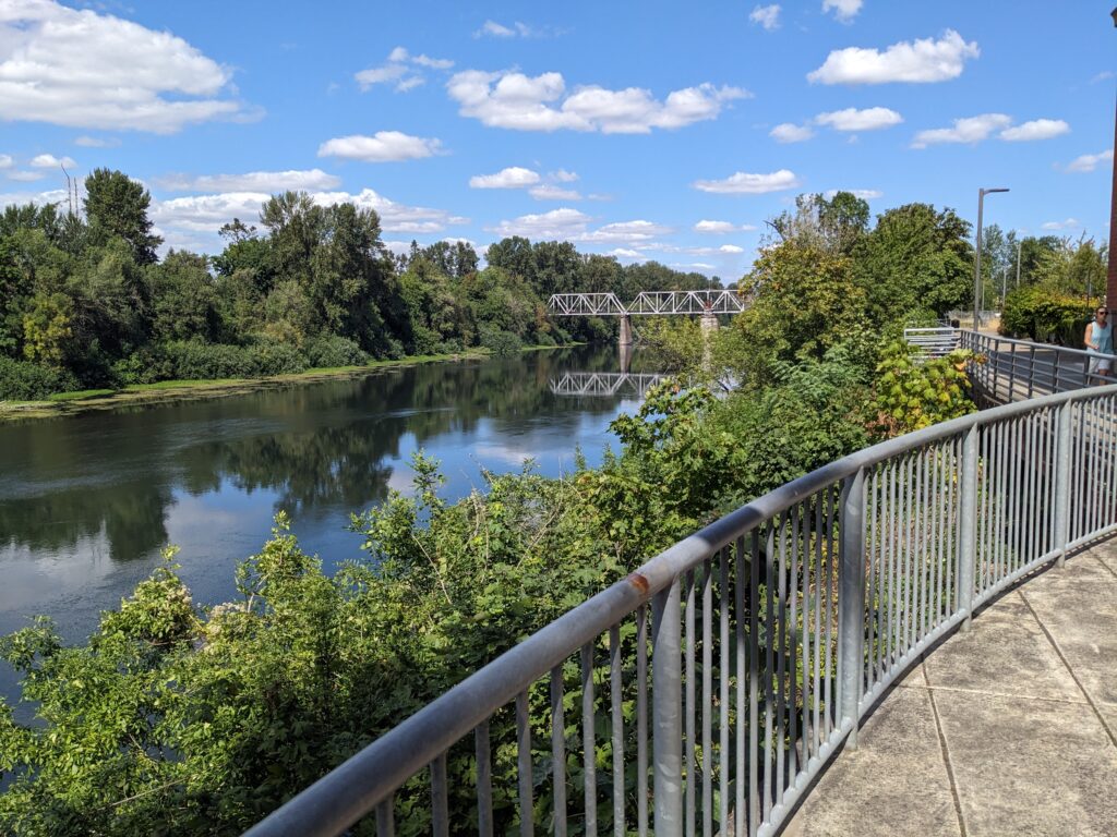
Southwest of the campground, we rejoined the WVSB for a few miles, but when it turned east toward Brownsville on Fayetteville Road, we kept going south on Peoria Road instead. As we followed the Willamette upstream to Harrisburg, the road was quiet and wide with more lovely views of the river, farms, and distant hills.
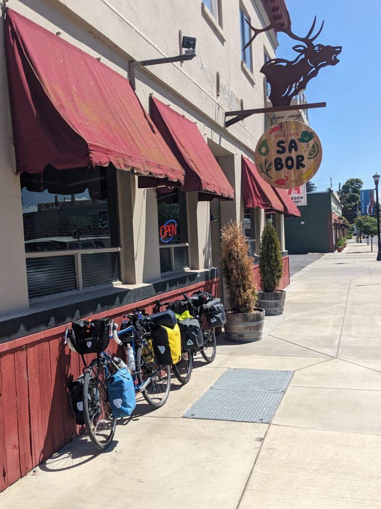
At Harrisburg we laughed at how the towns we were visiting had more famous counterparts in other states (Independence, MO – Albany, NY – Harrisburg, PA) while looking for a place for lunch. Nuestro Sabor served us well, with delicious salsa and hefty burritos and tacos. Another appealing-looking option was the roadside Junkyard Dogs across the river on Route 99E. The lot is filled with “sculptures” and the food achieved some fame on an episode of “Diners, Drive-In’s, and Dives”. Of course, the menu is a bit short on vegetarian options.
Coming out of Harrisburg, the stretch on 99E is busy. We took the sidwalk across the bridge, then quickly shifted onto some quieter roads into Junction City, where we picked up groceries for the night. Our route then headed west on quiet, pretty Cox Butte Road and south on the busier but still enjoyable Territorial Road into Cheshire. From there it followed the rolling hills of Applegate Trail before rejoining the Territorial Highway for the last few miles down to the northern end of Fern Ridge Lake, where we pulled into the campground at Richardson Park.
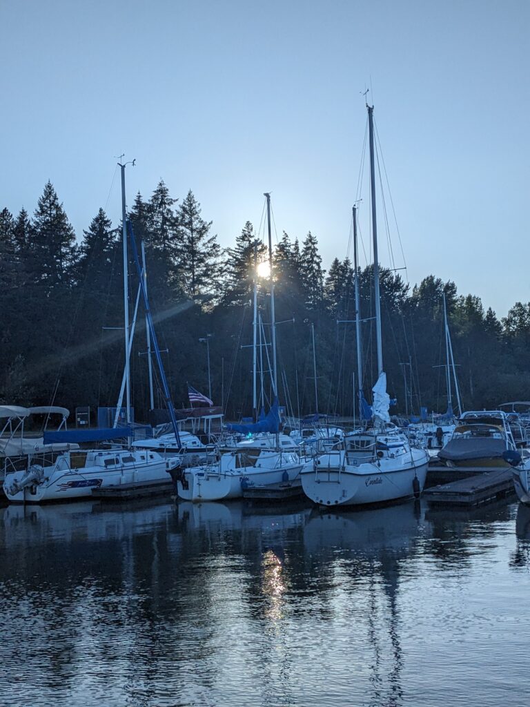
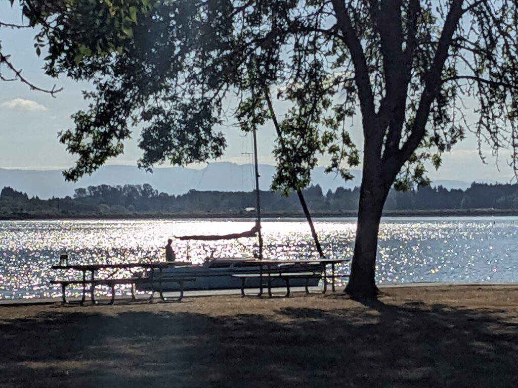
This is a very nice county park, perched on the edge of the lake with two large camping loops. The tent sites are close to the noisy Territorial Highway. We were glad to have paid a few extra dollars for a quieter RV site close to the water. We were well separated from neighbors by trees, and the included power outlet was handy for recharging all of our devices. The host was incredibly welcoming, even delivering wood and ice to our site on the back of an ATV.
The Good:
-
- More beautiful, quiet farm roads south of Albany and southwest of Junction City
- Moderate climbing
- Excellent camping at Richardson Park
The Bad:
-
- Some busy roads near Harrisburg and Junction City
- No more route signage after leaving the Willamette River Scenic Bikeway

Day #4
Fern Ridge Lake to Eugene (16 mi, 300 ft climbing)
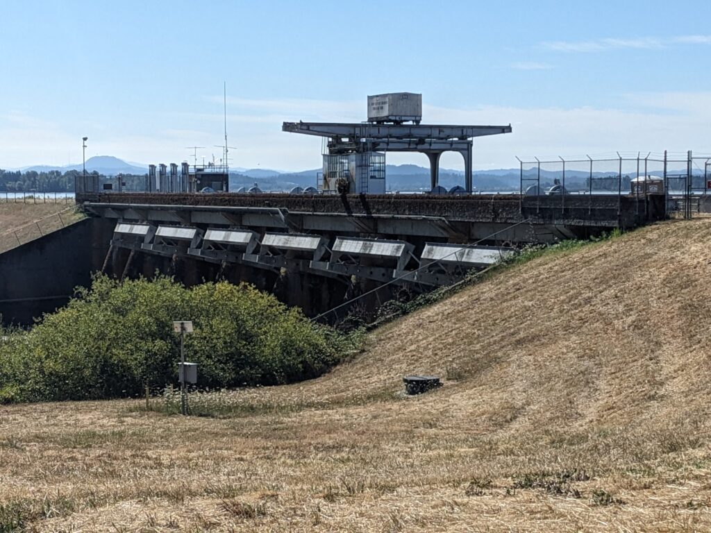
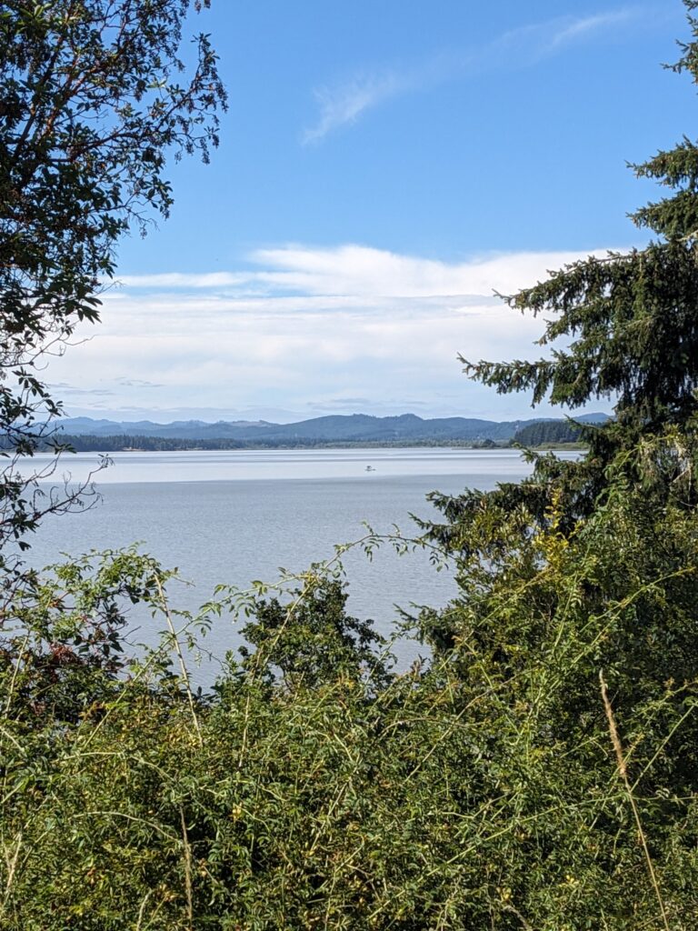
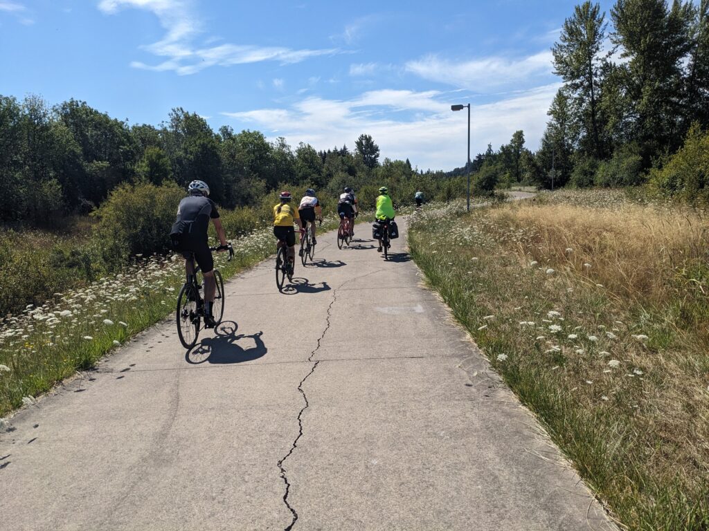
Coming out of the campground, we headed east over the north end of the lake, enjoying the views near the reservoir dam on Clear Lake Road. After a few more miles, we turned south on lightly-traveled Fir Butte Road and eventually connected with the beginning of the Fern Ridge Path, which follows Amazon Creek into town. It’s a lovely and popular trail through unmanicured wetlands and meadows.
Approaching the center of Eugene, the nature subsides and commercial corridors appear. Just off the trail, near the intersection of 11th Street and Bailey Hill Road, we pulled off for a stop at Bike Friday, maker of custom folding travel bikes. (I own one, which you can see at this post. My traveling companion recently gave one away that she’d like to get back!) It’s well worth a stop, but be sure to call ahead for a reservation. They were kind enough to give us a tour of the facilities, which are decidedly un-corporate and dominated by manual craftwork.
That counterculture vibe definitely fits with this smallish city (pop. 180,000) that proudly wears it’s “People’s Republic” nickname. It’s the home of the University of Oregon and leans heavily to the left. Downtown neighborhoods have a funky vibe and it’s easy to find an independent coffee shop or restaurant. Lots of bike lanes make navigating the streets easy, and the Amtrak station is conveniently located at the foot of Skinner Butte.
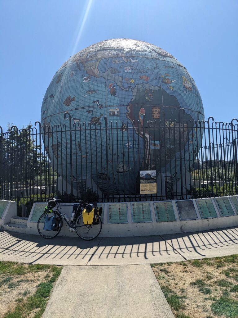
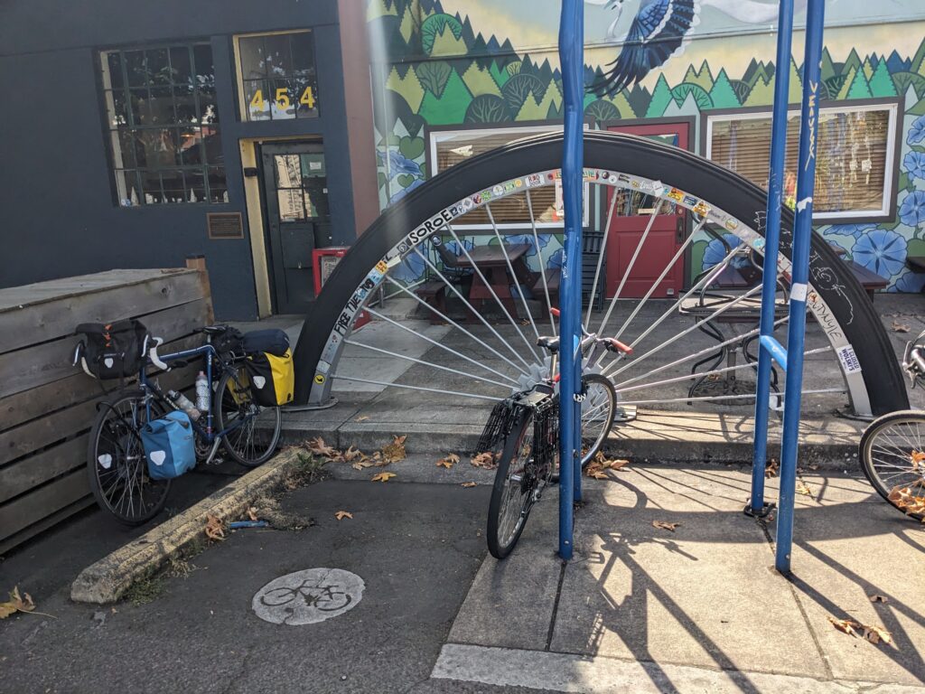
If you have any extra time, a ride along one the riverside trails is an enjoyable diversion. Also, don’t miss the big wheel sculpture at the bike rack near the train station.
If you stop anywhere, be careful with your bike and gear. The staff at Bike Friday warned us that theft is rampant (though my research indicates that, historically, no US city compares to my hometown of Philly!)
The Good:
-
- Great views of Fern Creek Lake
- Nice ride along Fern Ridge Trail
- Lots of places to stop for food
- Easy access to Amtrak station
The Bad:
-
- Reputation for bike theft



Possible Alternate Routes:
Approaching Eugene, the official Willamette Valley Scenic Bikeway route to Brownsville, then Armitage Park in Eugene, is a solid alternative. We chose the route west to Fern Creek Lake because Armitage Park was full. Either choice follows really nice roads and offers beautiful scenery.
Options for loop rides are plentiful. In fact, taking our ride west of Eugene, then starting back north through Brownsville would be a good start on a loop. There are lots of other possible roads that lead back towards Salem. The only limit is your imagination and willingness to research.
The Verdict
This is an exceptional short tour. The route is beautiful and the terrain is suitable for cyclists in decent shape who don’t mind spending a few miles on moderately busy roads. I would certainly ride the whole thing again.
Not many tours get 5 stars on my scale. This one does. If you live in Oregon and haven’t done this ride…start planning now and get out there soon.
Enjoy the ride!
Sorry…I had to disable comments because of too much spam.