350 Mile Gem in Upstate New yOrk

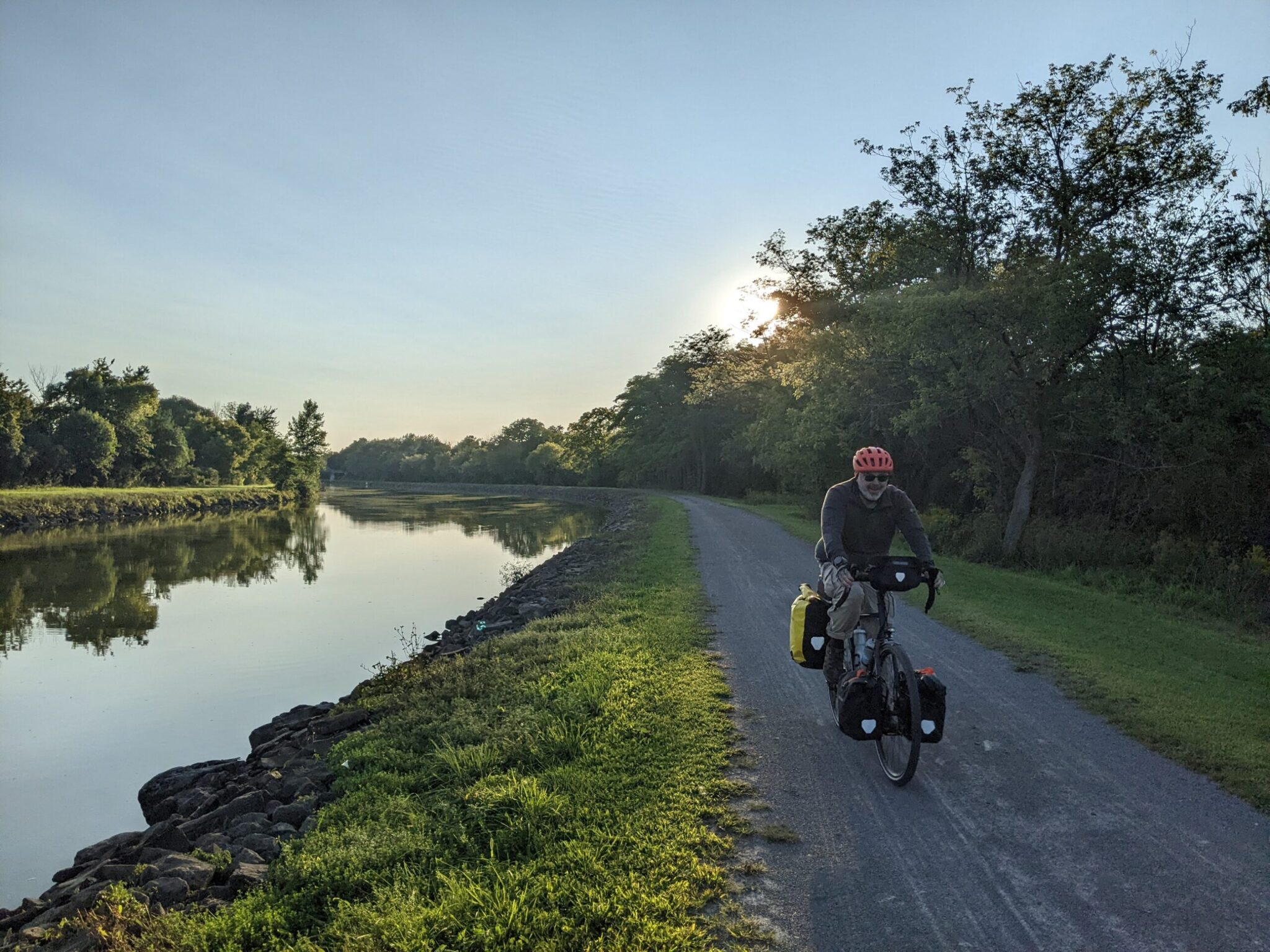
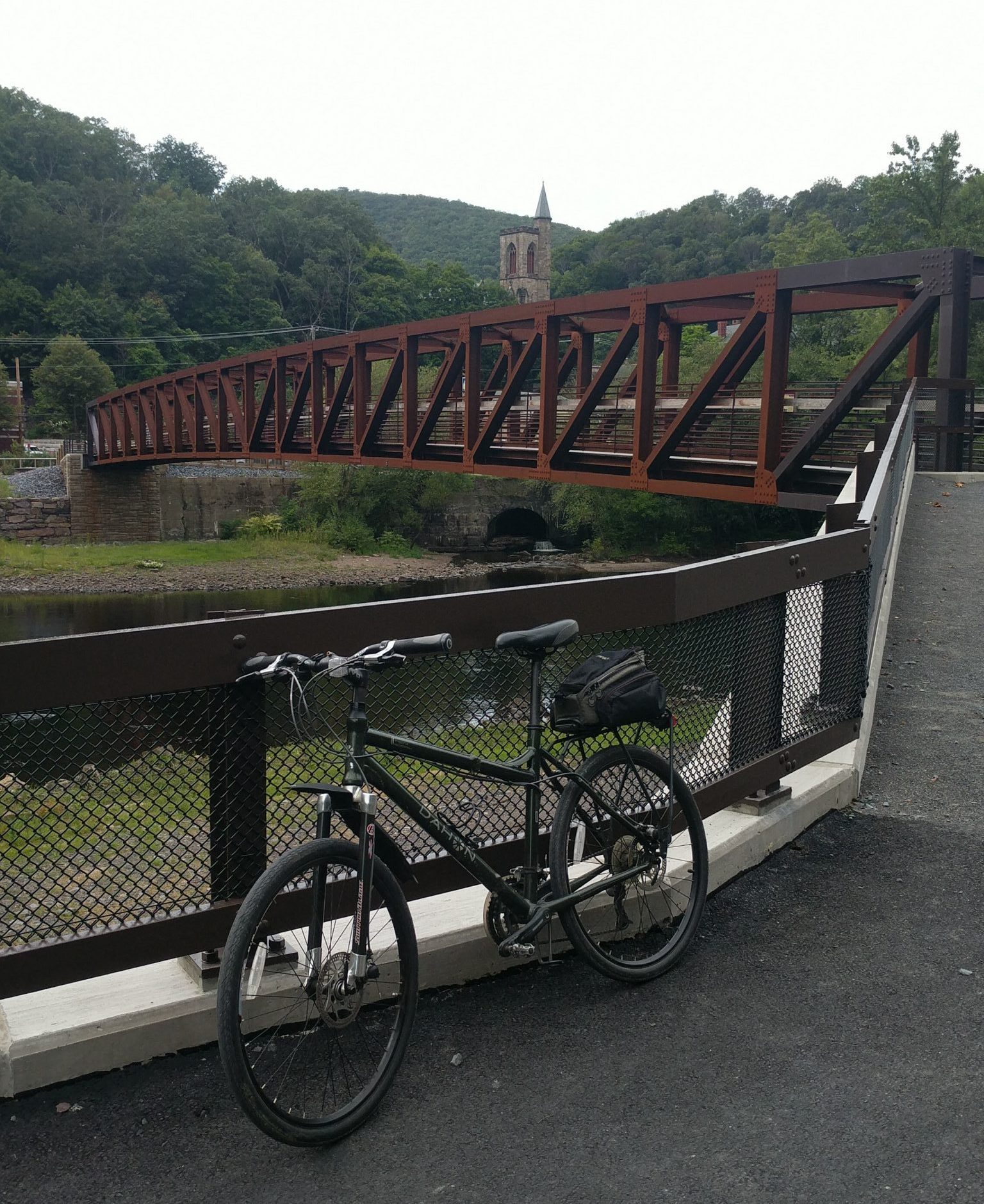
Paul on Trail

Are you looking for a place to ride for a week or so on well-maintained trails with flat terrain and appealing towns?  Somewhere with interesting history, easy signage, plentiful accomodations, and convenient train access?  Does that sound like too much to ask?  Well, it really exists, and it’s within a few hundred miles of New York, Boston, Philly, Washington, Detroit, Toronto, and Montreal.

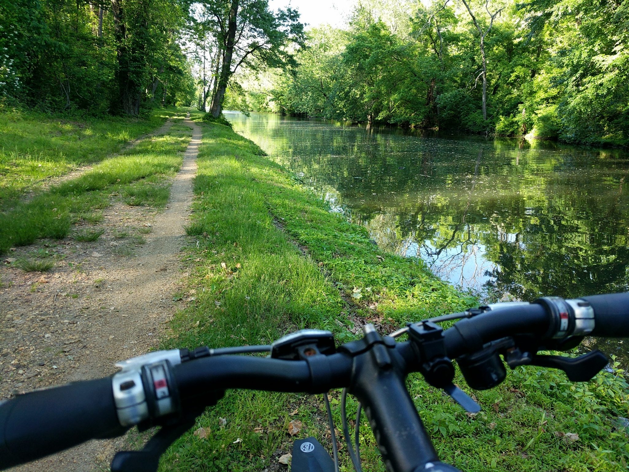
Back in the 1820’s, the New York governor convinced his fellow citizens to invest the unheard of sum of $7 million (about $240 million in 2026) in “Clinton’s Ditch”, a waterway connecting Lake Erie with the Hudson River.  It revolutionized commerce between East Coast cities and the burgeoning territories west of the Applachian Mountains.  Decades later, as faster and cheaper railroads took over the transport business, canal traffic diminished to little more than recreational craft.  Starting in the 1970’s, local communities began refurbishing the old tow paths, where mules had pulled barges with ropes, into multi-use recreational trails.  As of 2020, the complete corridor is navigable by bike.

The 350-mile route is almost entirely off-road, with a mix of paved and crushed stone surfaces.  It passes through Buffalo, Rochester, Syracuse, and Albany, as well as dozens of charming small towns.  The grade is modest, with only 6000 feet of elevation gain over the entire distance.  Camping, lodging, and provisions are plentiful.  Plus, the route parallels the Amtrak Empire line, so you can start/finish in any of 9 stations or even tie Niagara Falls into the ride.

Official Site: Empire State Trail

Difficulty:  Easy

Ride Type:  One-Way

Surface:  Mixed (Paved and Unpaved)

  ★★★★★
Continue reading “Erie Canal Trail / Empire State Trail”

Overnight Ride – Northwest Out of Philly

CampgroundSometimes it’s nice to get out of the city for a night.  Fortunately, if you live in Philly, there are lots of good options.  If you want to do the whole thing on two wheels, with no cars, buses, or trains involved, a ride out to Green Lane Park in northwest Montgomery County is a great choice.  The route is almost completely off road, following the (paved) Schuylkill River Trail to Oaks then meandering up the (gravel) Perkiomen Trail to the park, which is set around three lakes dammed on Perkiomen Creek.

If you’ve never done any bike camping and want to give it a shot, this is a perfect intro.  It was my first loaded adventure, back in 2008, and I’ve repeated it whenever an opportunity has arisen.

Official Sites:  Schuylkill River Trail, Perkiomen Trail,  Green Lane Park

Difficulty:  Easy-to-Moderate

Ride Type:  Out-and-Back

Surface:  Paved and Gravel

  ★★★★☆

Willamette valley Short Tour

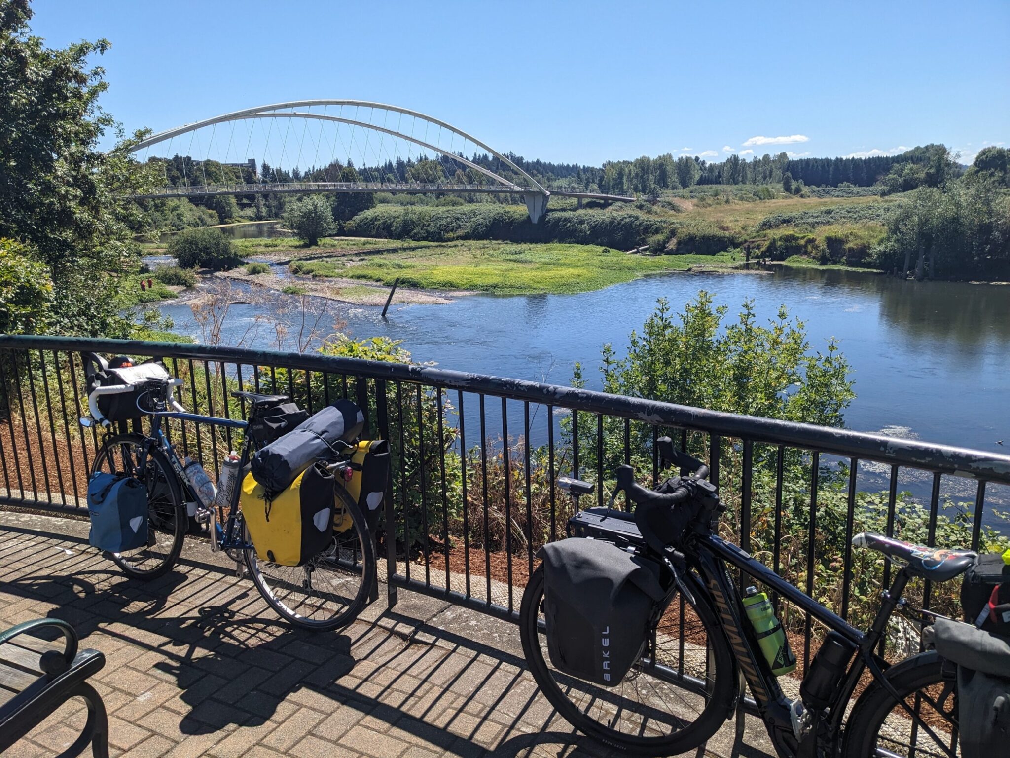
Minto Island BridgeMuch of the terrain in Oregon is steep and rugged, best tackled by touring adventurers with thighs of steel.  However, there is a strip of land in the northwest quadrant of the state that offers cyclists with modest experience and fitness the opportunity to experience several days of continuous cycling in some glorious countryside. 

The wide, flat valley that spreads out from the Willamette River is dotted with small towns, as well as the state capital (Salem) and two nice college towns (Corvallis and Eugene).  The fertile fields between are filled with farms growing hops, grapes, and blueberries.  

Back in the early 2000’s, Cycle Oregon mapped a route through the area.  It’s called the Willamette Valley Scenic Bikeway.  I rode it end-to-end in 2013 and thought is was beautiful.  A friend in Portland has been wanting to try camping on a tour, so I proposed a repeat ride this summer and it was every bit as I enjoyable as I remembered.  Because of issues with campsite reservations, we made a diversion west of Junction City and Eugene at the end (instead of going east through Brownsville), and it was aruably even better than the official route.

We kept a casual pace, stopping often to enjoy the sights, and covered the 145 mile trek in four days.

Official Site:   Willamette Valley Scenic Bikeway

Difficulty:  Easy-to-Moderate

Ride Type:  One Way

Surface:  Paved

  ★★★★★

Note:  This post is an excerpt from a forthcoming novel by Dave Bone.

“Toward The Unknown”

Chapter 1:   Crash

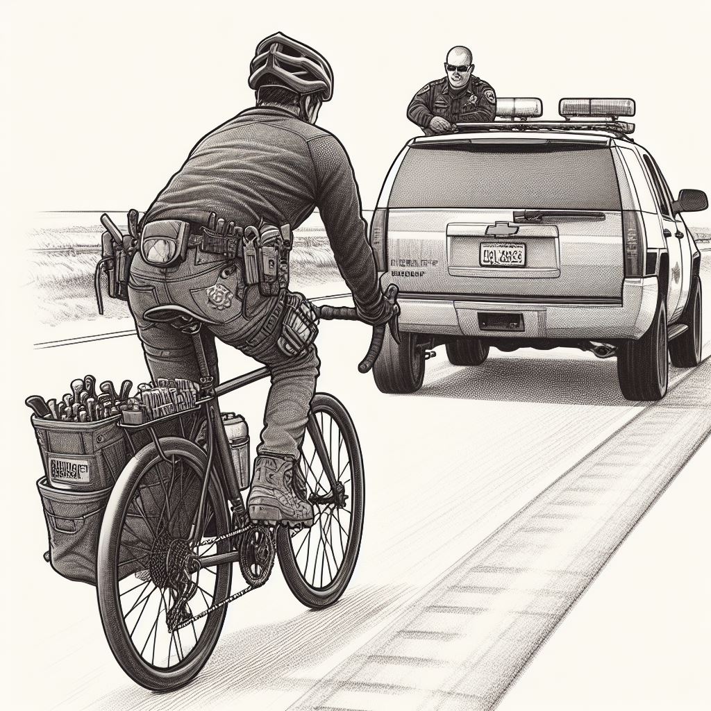
Sitting on the curb in a daze, Lemmy noticed something shimmering on the other side of Willow Street and realized it was his dollar store sunglasses, or at least one of the lenses that used to be press fit into the black plastic frame.  Leaning against the curb off to the side was the helmet that had been hanging from the rear rack.  “Shit,” he thought, “the one time I don’t wear the damn thing…”

He raised the back of his hand to wipe the sweat from his brow and the knuckles came down streaked red with blood.  He could also feel a drip from his bottom lip, but neither added up to much, so Lemmy wasn’t alarmed, but the driver of the SUV had a worried look in his eyes.  Lemmy chuckled to himself and wondered if maybe the guy had no insurance.  Nah, it was a late model Subaru, and he was dressed pretty well.  He leaned his head back and tried to remember whether the whole thing had been his fault, anyway, or if the driver had done something wrong.

Continue reading ““Toward the Unknown” – Chapter 1: Crash”

Great Trails within 90 Miles of the City

I’m just going to go ahead and say it:  the Philadelphia metro area has the best cycling trails in the United States.  Within an hour’s drive, there are hundreds of miles of safe, car-free paved and gravel trails with beautiful scenery and interesting towns to explore.

Pennsylvania and New Jersey were industrial powerhouses in the late 19th and early 20th centuries when coal was king and manufacturing flourished, facilitating the development of riverside canals and train lines.  Now those tow paths and rail beds have been converted to recreational trails, and modern cyclists are the lucky beneficiaries.


Continue reading “Day Rides Around Philadelphia”

Jim Thorpe trail connection completed

Mansion House BridgeThe D&L Trail is one of the gems of the Pennsylvania cycling network.  It follows the route that anthracite traveled during the heyday of coal mining.  Currently the D&L runs 140 miles, from Bristol in the south to Mountaintop in the north.

Until this summer, there was a virtually impassable point at Jim Thorpe where the trail jumps from the east to the west side of the Lehigh River.  There was no bridge and the only possible road route to bypass the gap was along the steep, busy, narrow-shouldered US-209.

In mid-August, a multi-year, multi-million dollar project was completed and the Mansion House Bridge was finally opened to the connect the trail across the river.


Continue reading “Mansion House Bridge Opens”

Trauma On The Trail

Gosling CroppedAlong the trails where I ride around Philadelphia, there is a surprising amount of wildlife.  One evening last week, I saw groundhogs, big snapping turtles, and a racoon.  Then, nearing home on the canal trail in the neighborhood of Manayunk, I turned a corner to find a doe with a pair of fawns.  It feels good to know they’re there, doing OK, right on the outskirts of this big metropolis.

Spring, though, brings a whole new level of human-animal interaction.  Geese arrive in droves and stay near the water to begin raising their young.  There are ducks as well, but the geese really take control of the place.    They have few, if any, predators, especially in the parks along the trail.  There is some interest in reducing their numbers, but it seems unlikely, especially considering the legal protections afforded to the migratory members of the species.

Continue reading “The Gosling Incident”

THE VALUE OF HINDSIGHT

eBay MirrorI rode for decades without a mirror and survived without any major incidents, but last year I started thinking about how it might be safer to have one.  It would allow me to be more aware of cyclists passing on crowded trails and cars passing on crowded roads. 

I considered the various styles, including helmet-mount, eyeglass mount, and lens mount but decided that handlebar mount made the most sense for me. 

When I started researching, there were a lot of options available, but they could be fairly pricey and you never know if they’ll really work for you until you take them on a ride.  I hate spending $20-30 on things, only to realize they don’t do what I want, finally tossing them in the box of parts in my closet, never to be used again. 

Continue reading “Review – $2 eBay Mirror”


Off-Road exploration of the Laurentides


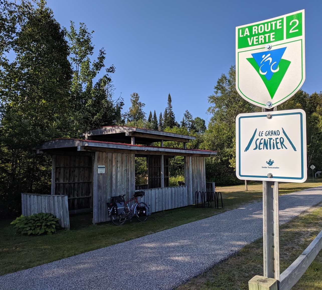
Trail and Signs“P’tit Train du Nord” means “little train of the north” in English.  When it was constructed around 1900, this rail line was key to the development of industry and tourism in the Laurentian Mountains (“Laurentides” in French).  The trains stopped running and the rail bed was abandoned in the 1980’s, but now it’s been converted to an off-road trail that transports cyclists from the outskirts of Montreal about 200km (124 miles) northwest to Mont-Laurier.

The trail runs along a collection of rivers and lakes that keep the grades moderate and the scenery pleasant.  More than half of the trail is paved, including the entire northern half and about 8 miles around Mont-Tremblant.  The southern section is gravel.

This is one of the most popular trails in Quebec, with gentle (but steady) climbs and lots of nice towns along the way. 

It is also designated as part of Le Route Vert 2 and Le Grand Sentier.

Official Sites: P’tit Train du Nord, Laurentides.com

Difficulty:  Easy-to-Moderate

Ride Type:  One-Way or Out-and-Back

Surface:  Paved and Gravel

  ★★★★☆

Continue reading “P’tit Train du Nord Rail Trail”

Triangular Tour of Southern Quebec

Trail and SignsQuebec has a great collection of cycling routes, ranging from rail trails to well-marked roads and urban bike lanes.  A few years ago, I read about a loop ride from Montreal up into the Laurentian Mountains, down to Ottawa, and back to Montreal. This summer, I finally mapped it out, packed my gear, and hit the road for a solo adventure.  It was a great 8-day, 360-mile ride.

It’s easiest to think of this tour as a triangle:

  • The first leg heads out of the suburbs northwest of Montreal along the P’tit Train du Nord rail trail and ends in Mt. Laurier.
  • The second leg follows roads west out of Mt. Laurier to Maniwaki, where it connects with the Veloroute du Draveurs heading south to Lows.  From there roads and/or trails lead the way into Ottawa.
  • The final leg follows the Ottawa River back to the outskirts of Montreal.

There are lots of options:  camping or hotels/BnB’s, trails or roads, short days or long rides.  You can customize your agenda to suit your goals.  Hopefully my descriptions will help you plan an enjoyable ride.

Feel free to jump ahead to a specific segment:

Continue reading “Montreal-Laurentians-Ottawa Loop”