
Cincinnati to cleveland by Bike
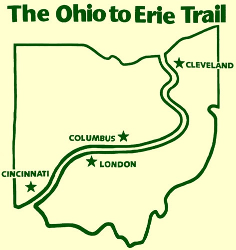
The stats: 3 major cities in 326 miles, 90% trails, 85% paved, less than 7000 ft of elevation gain. There are only a handful of options to ride for a week in the U.S. without worrying much about car traffic or daunting climbs. Way to go, Ohio!
In the 1990’s, a group of pioneering cyclists evisioned combining a series of rail and canal trails into a route that would allow pedestrians and cyclists to travel from the Ohio River in Cincinnati through Columbus, Akron, and the Cuyahoga Valley National Park to the Lake Erie waterfront in Cleveland. It’s now a reality.
A marvel of cooperation between a diverse array of local communities, the route integrates 23 regional trails into a cohesive whole that is remarkably beautiful and easy to navigate.
Official Site: Ohio to Erie Trail
Difficulty: Easy
Ride Type: One-Way
Surface: Mixed (Paved and Unpaved)
★★★★☆
The Good:
-
- Beautiful scenery with farmland, rolling hills, and bucolic Amish country
- Route runs through the heart of the Cuyahoga National Park
- Multiple interesting cities along the way
- Smooth, well-maintained trail
- Good signage
The Bad:
-
- More adventurous cyclists may find the straighter, flatter sections a little monotonous
- The smaller towns offer practicalities but relatively few interesting sights (museums, etc.)
- Campsite options are limited around Columbus
- Transportation to/from the route is challenging
- Printed resources are sparse and marginally useful
Feel free to jump ahead to a specific segment:
- South: Cincinnati to Columbus
- Central: Columbus to Millersburg
- North: Millersburg to Cleveland
- The Verdict
Route Map
General Considerations
Trail Information
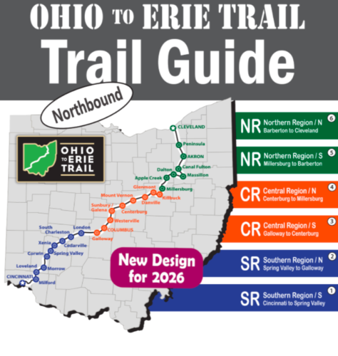
 The official website has an interactive map. It was created in Google Maps and can show attractions and resources. To see campgrounds, you need to toggle them on manually. The site also has links to detailed Ride with GPS Routes. The northbound version is displayed above. Useful resources like bike shops and campgrounds are provided in list form on a separate page.
The official “OTET Trail Guide” ($20) isn’t really a guide. It just divides sections of the trail into a six fanfold maps. They are conveniently sized to fit in a handlebar map case, but the scaling is confusing and they lack enough detail to serve as a stand alone resource. For the price, I was hoping for better, like the guides available for the Erie Canal and GAP/C&O trails.
 Aside from the first few miles out of Cincinnati, the OTET follows the exact same path as US Bike Route 21. From Xenia to Westerville, it also follows US Bike Route 50. Signs for those routes can be helpful along the way.
You might come across the privately published “A Path Through Ohio: A Cyclist’s Guide to the Ohio and Erie Trail” by Mark J. Looney. It’s not really a guide book, but more of a memoir with anecdotes, written in prose with no index or other easy way to find interesting stops or resources in a particular location. I found it frustrating while researching at campsites for the next day’s ride and don’t recommend it as something to carry along.
Climate and terrain
This area is reasonably populous, with towns at regular intervals.
- Water is readily available on most of the trail, but there are a few longer stretches between towns. It’s always best to keep your bottles topped up.
- Pack some food – at least some trail mix or energy bars. Keep a meal or two of dry or canned goods if you’re camping.
- Pack a repair kit (tube, patch kit, pump/inflator, tire levers, multi-tool, cable ties).
- Load gps/phone maps offline, so you can still navigate when there is no cell service.
- Keep an eye on the forecast. Ohio can get severe weather, including thunderstorms and humid heat in the summer. Waterproof panniers and good rain gear are essential. The spring and fall can get cold and there may even be some snow. If you have a down sleeping bag, take it.
LOOP vs. One-Way
Given the length, most people will ride this trail one-way, or just tackle a section at a time.
Choose the direction that is most convenient for you. The elevation gains are nearly identical each way. The wind directions are variable by region and often change with weather patterns.
Bike Selection and preparation
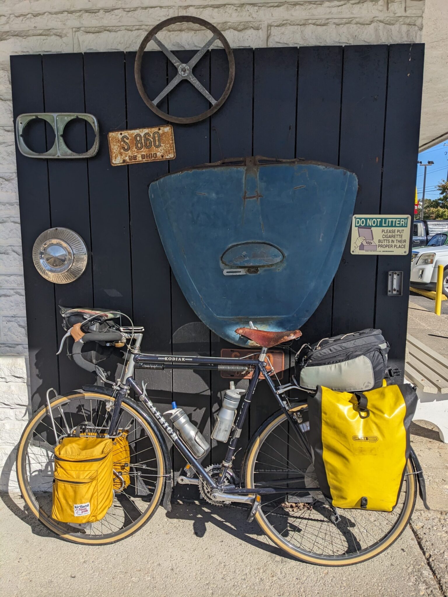 This trail is 85% paved and the remaining crushed stone sections are in very good condition. It could be ridden on nearly any bike, even a road bike with skinny tires. Though there are no particularly long or steep climbs, it’s not entirely flat, so some gears are important. I rode it on my 1985 Raleigh Kodiak touring bike. It never came out of the middle ring up front, but I used the full gear range in the back. The 27×1-1/4 (32mm) tires were perfect: reasonably fast, but big enough to handle the inevitable rough pavement and oversize gravel.
Some means of carrying supplies is essential, Any decent rear rack and a set of panniers should do the job. If you’re camping, front racks and panniers will also be helpful. You can read about my typical camping-touring setup at this post.
Getting There and Parking
The two ends of the trail are near downtown Cincinnati and Cleveland. A lot of cyclists like to dip their tire in the water at each spot. You can start at either of those, or any point in between. Cincinnati, Columbus and Cleveland all have big airports.
Unfortunately, public transportation can be challenging. Theoretically, it’s possible to take Amtrak trains to/from the east coast or Chicago to both Cincinnati and Cleveland, but the trips are long and the arrival/departure times are inconvenient (very late or middle of the night). There is no train paralleling the route or serving Columbus at all. Local buses may possible to get around the bigger cities.
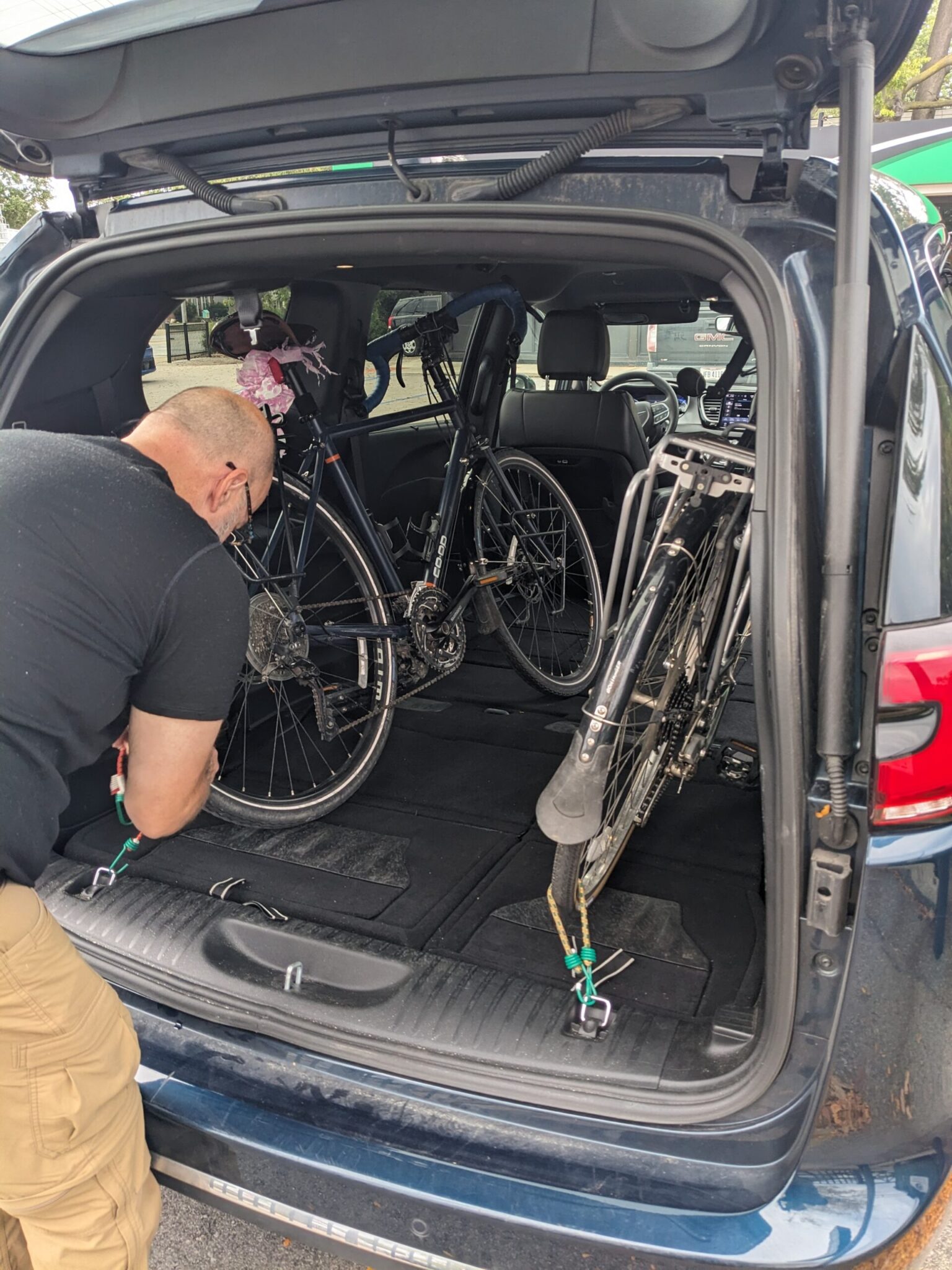 We decided to drive instead, parking our car in Cleveland, driving a one-way rental mini-van to a drop-off location near our starting point, then riding back to the car. The Chrysler Pacifica rental, with its “Stow and Go” seats, was perfect. Unfortunately, long term parking isn’t allowed in the lot where the trail ends in Edgewater Park. However, street parking in the Edgewater Hill neighborhood, just across Highway 20, is free and easy. We left our car near Terrestrial Brewing, just a block from the pedestrian tunnel under the highway, and it worked out fine. Parking near the terminus in Cincinnati is more challenging, since it’s closer to downtown. There are numerous garages and lots, but they are expensive.
Zipi Transit offers a shuttle service in either direction, but it’s costly, with a 4-person minimum at $160 each. (For comparison, we paid less than $200 for the minivan rental, including gas.)
If you’re booking hotels, Sunshine Luggage Transfer can shuttle your bags along the way. Cost are not listed on their website.
Disclaimer: Due to time constraints, we didn’t ride the whole trail. We started in Xenia instead of Cincinnati, missing the southernmost 70 miles. I’ll do my best to describe that section using maps and other guides, but can’t promise everything will be perfectly accurate. Post a comment if you think I got something wrong! Everything north of Xenia is based on my personal experience.
South – Cincinnati to Columbus (127 miles)
Cincinnati (Mile 0):
The trail starts in Smale Riverfront Park between the football and baseball stadiums, just south of downtown. The view of the striking Roebling Suspension Bridge is exceptional. Before heading out of town, consider a stop at the National Underground Railroad Freedom Center or the Taft Museum of Art.
Heading out of the city, the route hugs the edge of the Ohio River. Just out of downtown, it passes below Eden Park, which might be worth a visit to check out Krohn Conservatory, Cincinnati Art Museum, and the hilltop views. If you do, expect some climbing and be careful getting across Columbia Parkway.
After about 7 miles, just past a small municipal airport, the route shifts to the north along the Little Miami River. The Little Miami Scenic Trail continues for 65 miles through pretty countryside and small towns to Xenia. At South Lebanon, the official route exits the trail for a few miles and goes through town, but you can also just stay on the riverside trail, avoiding some roads and climbing. Worthwhile stops along this stretch are Loveland Castle, which requires a 5-mile (round trip) detour across the river at Mile 27, and Fort Ancient Earthworks (about a mile off the trail at Mile 49), a museum preserving a hilltop native American gathering place.
Xenia (Mile 72):
 Xenia, an attractive city of about 25,000, is a cycling crossroads where four different local trails meet. Near that intersection sits the refurbished Xenia Train Station, with picnic benches and indoor bathrooms.
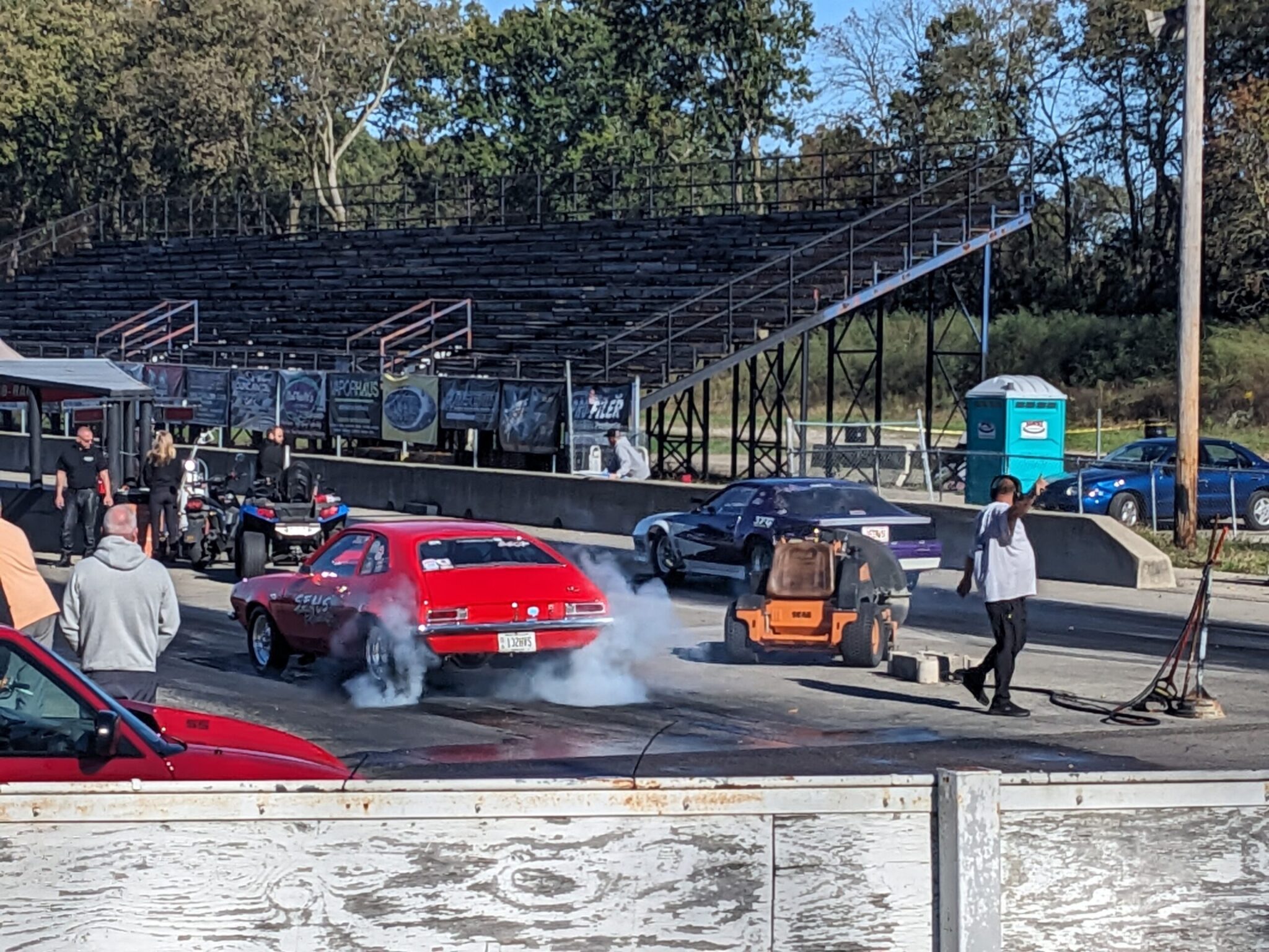
Aviation enthusiasts may want to take a side trip on the Creekside Trail, which heads 15 miles west to Dayton, where the Wright Brothers pioneered manned flight. Their bicycle shop is now part of the Dayton Aviation Heritage National Historic Park. If you head in that direction, keep an eye out for drag races at the Kil-Kare Speedway.
Out of Xenia, the Little Miami Scenic Trail continues north toward the attractive small town of Yellow Springs, but OTET transitions to the Prairie Grass Trail, which heads northeast instead.
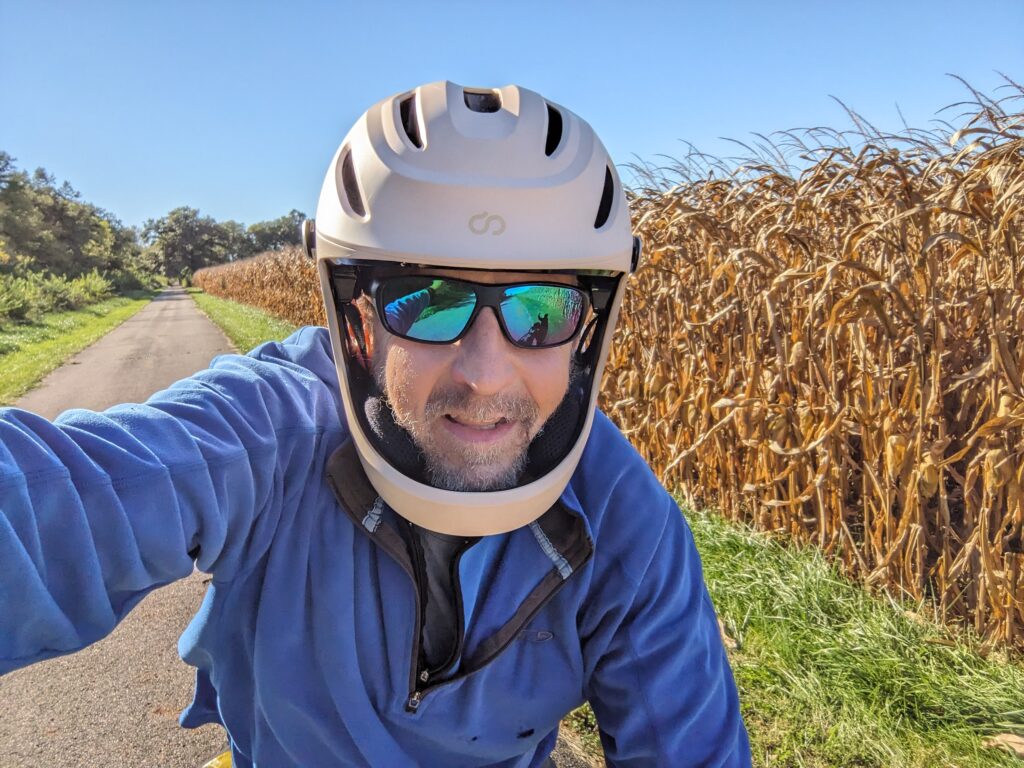
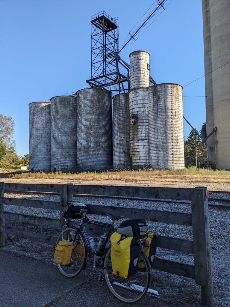
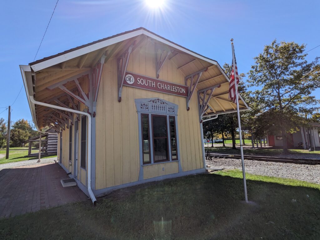
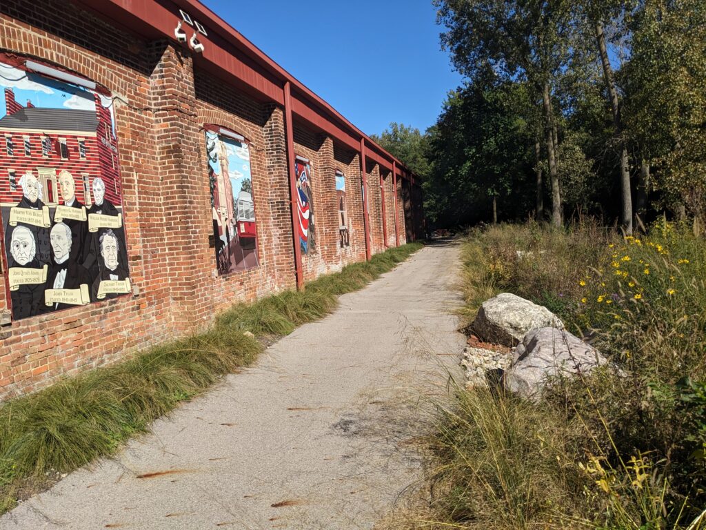
For the next 40 miles, the trail is mostly straight and fairly flat, running through cornfields and the small towns of Cedarville and South Charleston. London (pop. 10,000) has an impressive courthouse and charming Main Street. The Community Mural Park, on the trail (Mile 102) just east of town, is a nice place to stop and learn about local history.
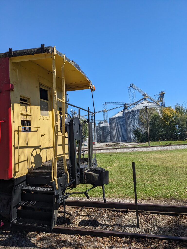
Train Silos
 Out of London, the trail heads west another 25 miles to Columbus. About halfway there (Mile 114), it passes through the beautiful Battelle Darby Creek Metro Park. A short diversion up Big Darby Creek to the Nature Center is worth the effort to catch a glimpse of the bison herd that’s been reintroduced to the park.
Columbus (Mile 128):
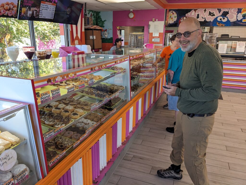
Most of the rest of the ride to Columbus is on the Camp Chase Trail, where cornfields and forests slowly give way to suburbs. On a short roadside stretch (Mile 121), you’ll pass Amy’s Donuts in a repurposed fast food building. The non-descript exterior hides an amazing array of creative delicacies inside. At Mile 123, a huge mural on the back of an industrial building celebrates the OTET and its three main cities.


As the trail meets the Scioto River, glimpses of the city skyline come into view. Columbus (pop. 900,000) is the capital of Ohio and location of Ohio State University. Signage through the city is generally very good. Popular neighborhoods include the University District, North Shore Arts District, and German Village. If you have some time, before heading north into downtown at Neil Ave., continue along the river on the Lower Scioto Greenway to check out the attractions on the Scioto Mile before doubling back. North Market Downtown (just off the trail near Nationwide Arena) is a great stop for lunch, with vendors selling a wide array of ethnic foods and local specialties. Well-regarded nearby attractions include Franklin Park Conservatory and Botanical Garden, Goodale Park, and the Columbus Museum of Art.


Camping Options:
+ means you leave the trail at this point and ride the stated additional (one-way) miles to the campground
Mile 18: Jim Terrell Park Primitive Camping (Milford) – The town allows camping in the park. The view is a parking lot and the back of a granite shop, but tables and a portable toilet are provided. $10 per tent.
Mile 18: Riverside Park Primitive Camping (Milford) – The town allows camping in the park. A public restroom is available. It may also be possible to use the grounds or pavillion on the adjacent American Legion Post. $10 per tent.
Mile 23 (+3): Lake Isabella Campground (Loveland) – Commercial campground. Expensive and difficult to access because it’s across the river. Not the best option, but if you’re in a bind… $87 (in 2026)
Mile 43: Todd’s Fork Adventures (Morrow) – Private HipCamp site on a fork of the river with excellent reviews. $50.
Mile 52: One Earth Collaborative (Oregonia) – Private HipCamp site with excellent reviews. $40-50.
Mile 64: Green County Contitution Park (Spring Valley) – Primitive site with no running water. Portable toilet. Between road and river (may be noisy). $5.
Mile 72 (+1.5): Green County Expo Center (Xenia) – RV camground just off the Creekside trail. $40.
Mile 72 (+3): Old Town Reserve Park (Xenia) – Primitive camground just off the Little Miami Scenic Trail north of Xenia Station. Drinking water and portable toilet. $5.
Mile 100: Prairie Grass Trailhead (London) – FREE campground right on the trail with platforms and a pavillion. Bathroom and running water nearby.
Mile 114 (+2): Little Darby Outdoors (Galloway) – Private HipCamp site with great views, as well as a pavillion and indoor space with bathrooms, shower and game room. Very friendly owner. $33.
Free Government Camping |
|
|---|---|
|
The Ohio to Erie Trail has many camping possibilities, including some free or very low cost options:
|
 |
Central – Columbus to Millersburg (92 Miles)
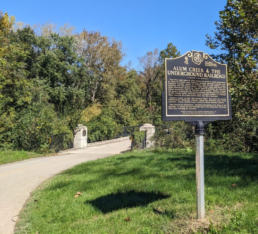
Out of Columbus, the route transitions to the Alum Creek Trail and heads north through the suburbs. It’s surprisingly attractive section, with a serpentine path that winds back and forth over the creek on a diverse array of pretty bridges through a series of popular parks filled with locals.
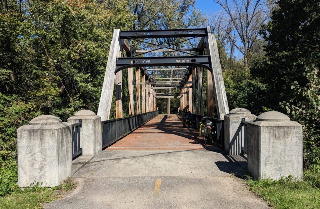

After navigating quiet streets and bike paths through Westerville, the route eventually connects with the Sandel Legacy Trail and heads toward Sunbury. There are a lot of turns in this section. Be on the lookout for the sometimes confusing signage (it’s navigating locals in a lot of different directions in addition to OTET riders). GPS is really helpful. Ignore the turn into McNamara Park at Mile 149. Stay on the safer trail that parallels State St., then follow the Bike Route 50 Alternate signs to the Hoover Scenic Trail. Beware: just northeast of this intersection, at Galena, Route 50 diverges east toward Pennsylvania, while only Route 21 continues north toward Cleveland.
 Sunbury (pop. 6,600) has an attractive town square and decent options for food and provisions. See if you can find the rumored life size chainsaw scultpure of Johnny Appleseed. Various sources place it in the town square and just off Granville Street in Old Orchard Park. Apparently, it’s small enough to easily move. We couldn’t find him.
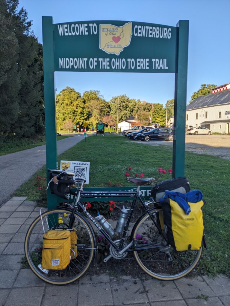
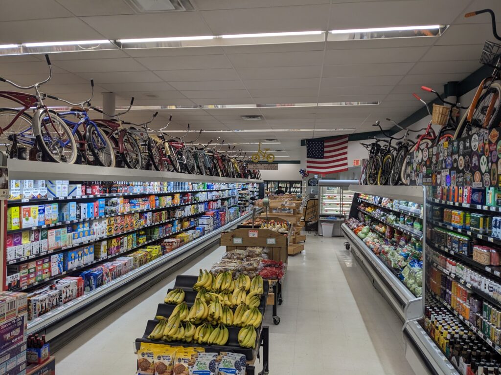
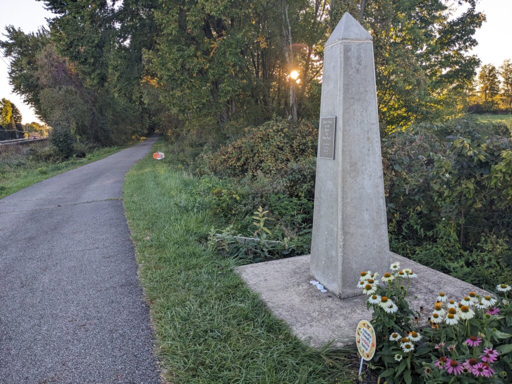
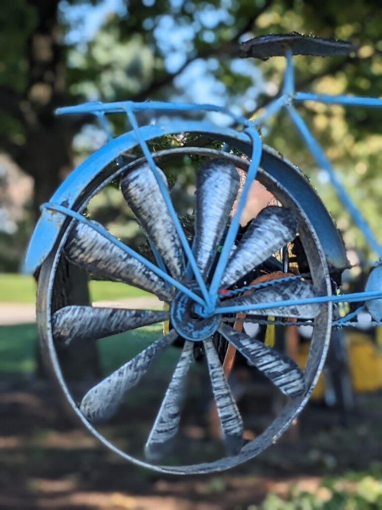
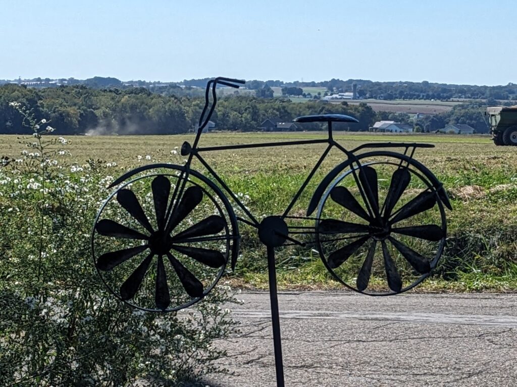
Near Centerburg, the route transitions to the local trail with, hands down, the best logo and acronym of the journey. The Heart of Ohio Trail (it’s a HOOT!) continues about 18 miles. In Centerburg (the midpoint of the OTET), you’ll find Hometown Market, where the coolers are inexplicably topped with rows of bicycles adorned with brand logos. I wouldn’t trade my Raleigh for any, but they’re fun to check out. East of town, at Mile 167, the highest point of both the HOOT and OTET is commemorated with a small obelisk. Though the elevation is 1280 feet, the surrounding grade rarely exceeds 1%. Other parts of the OTET feel noticeably more strenuous.
Mt. Vernon (Mile 178):
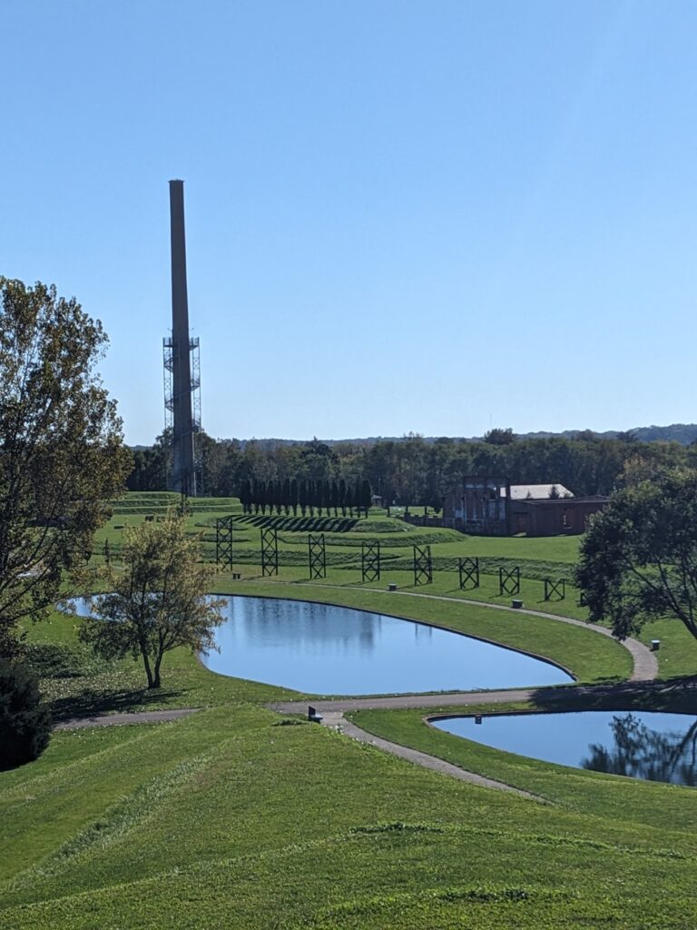
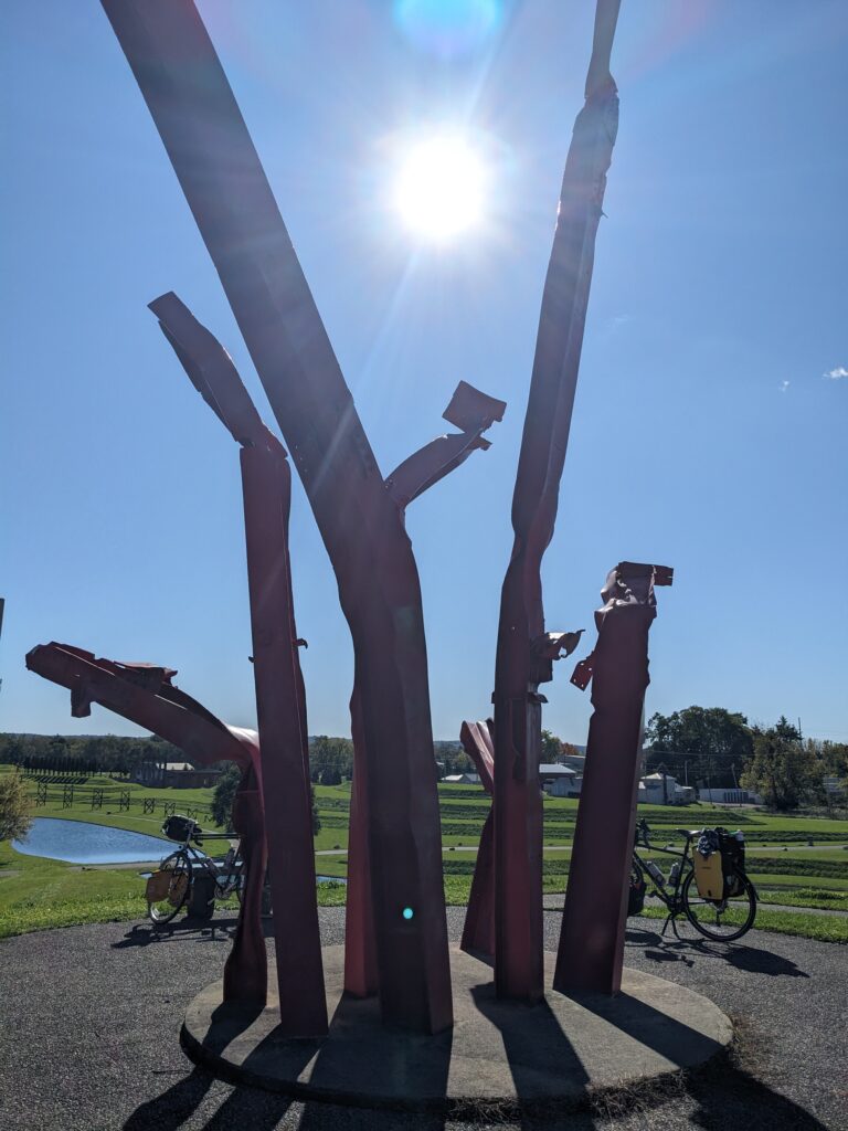
About 10 miles east, as the trail enters Mt. Vernon, Ariel Foundation Park sits on the north side of the trail. This striking sculpture garden was created from the ruins of a former PPG glass-making factory. Stroll the layrinth, climb the terraces, and scale the observation tower for a nice view of the surrounding countryside. Don’t just pedal past!

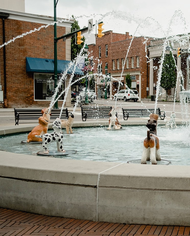
Mt. Vernon (pop. 17,000) is the largest town on this section of the trail. An information center welcomes travelers in the old train station. It’s worth a diversion to the cute downtown, which is centered around a public square. On the way there, you’ll pass a fun Dog-themed Fountain.
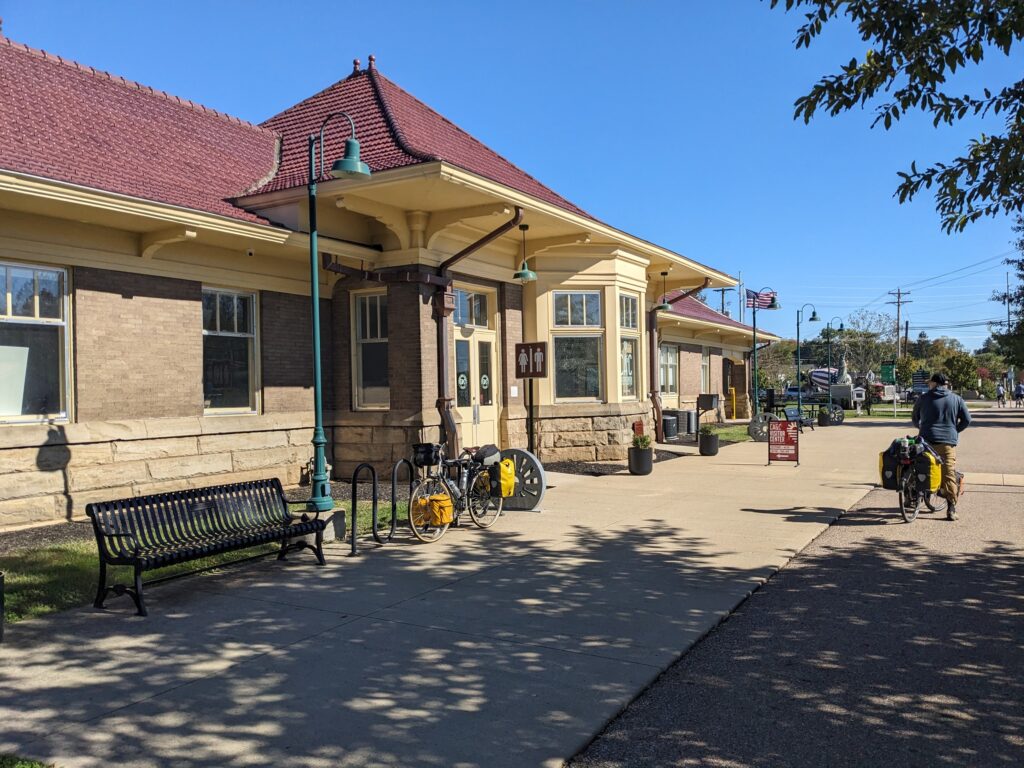

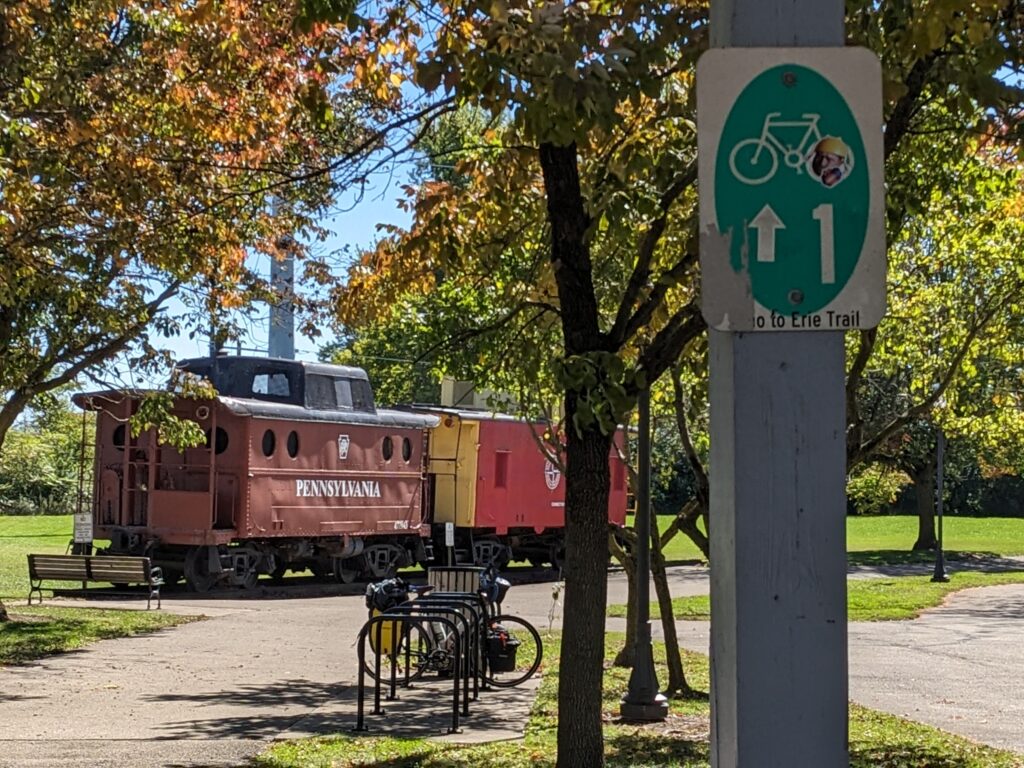
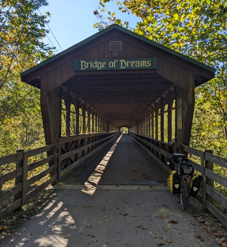
As you head east from Main Street out of town, the route transitions to the Kokosing Gap Trail and follows the Kokosing River into the Ohio Amish Country, where the trails are shared with horse and buggy users. The next town is Gambier (Mile 184), where a1940’s locomotive sits by the side of the trail. In Danville (Mile 193), the Mohican Valley Trail begins. It only runs 5 miles, but leads to the impressive Bridge of Dreams (Mile 197) in Brinkhaven. By the early 1990’s, the abandoned railroad bridge that spanned the Mohican River was in a sorry state. When local activists envisioned its resurrection as a covered bridge connecting the Mohican and Holmes County trails, they were derided by some as “dreamers” but, by 2001, the 370 foot structure was open to pedestrians, cyclists, and horse-drawn buggies.


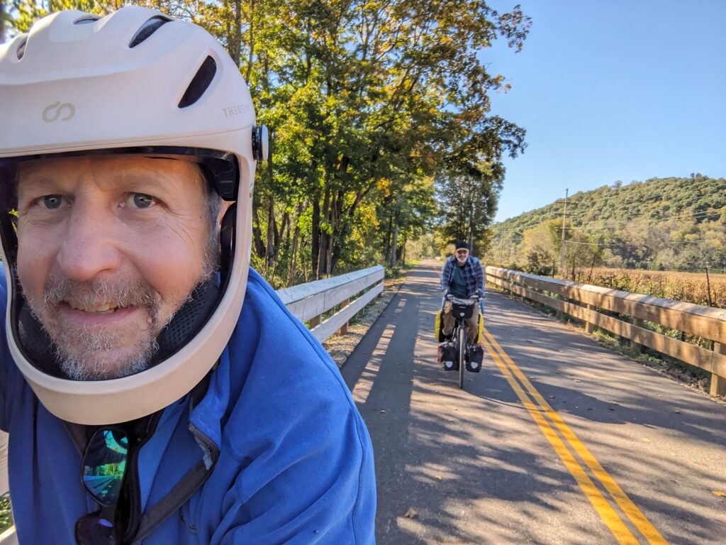
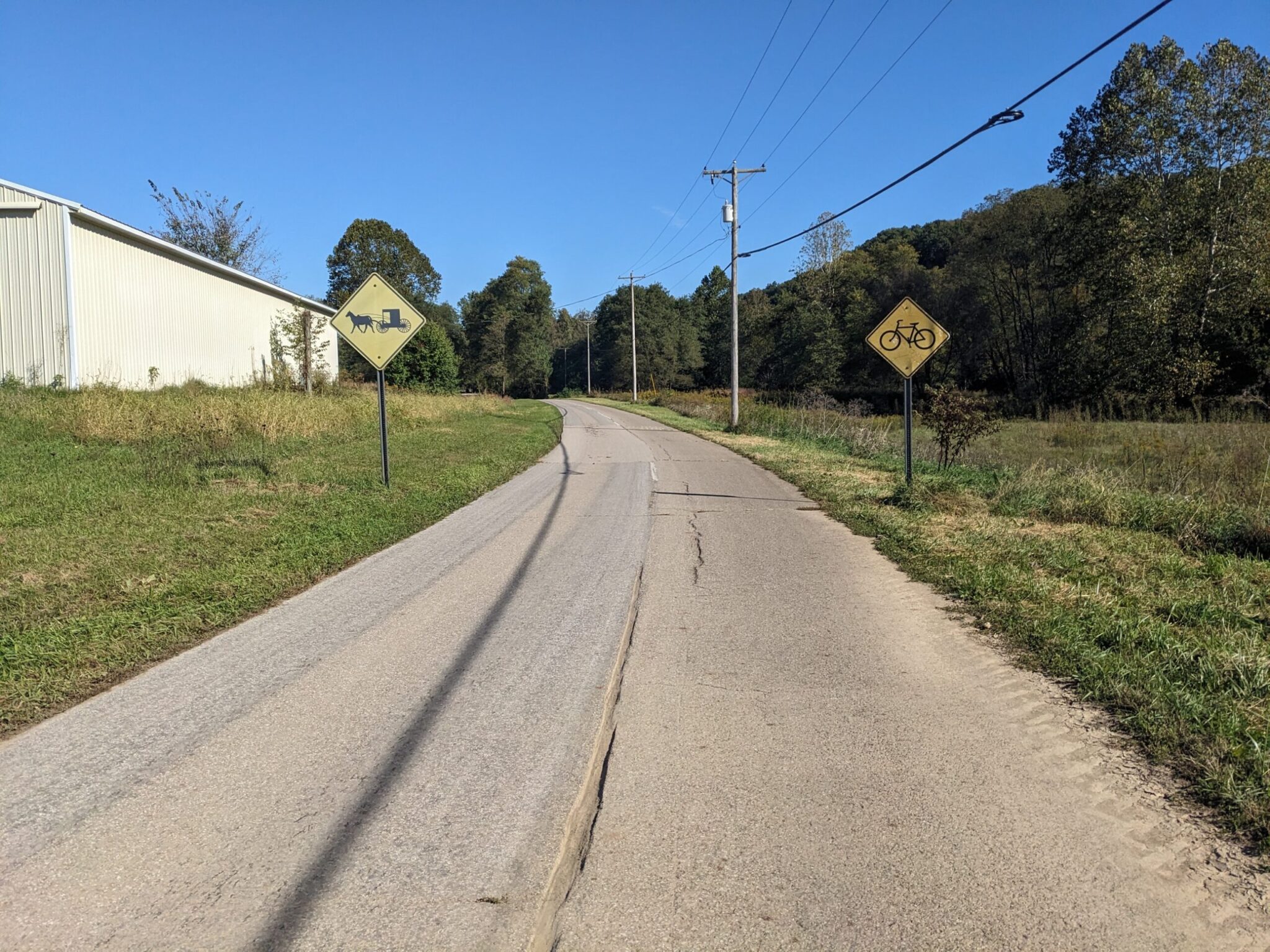
East of the bridge, the trail climbs a bit, then descends into the quiet town of Glenmont, where a newly paved section of double-wide trail begins. It took a while for us realize that the road-proportioned surface, complete with center stripe, is designed to accomodate 2-way buggy traffic.
Millersburg (Mile 219):
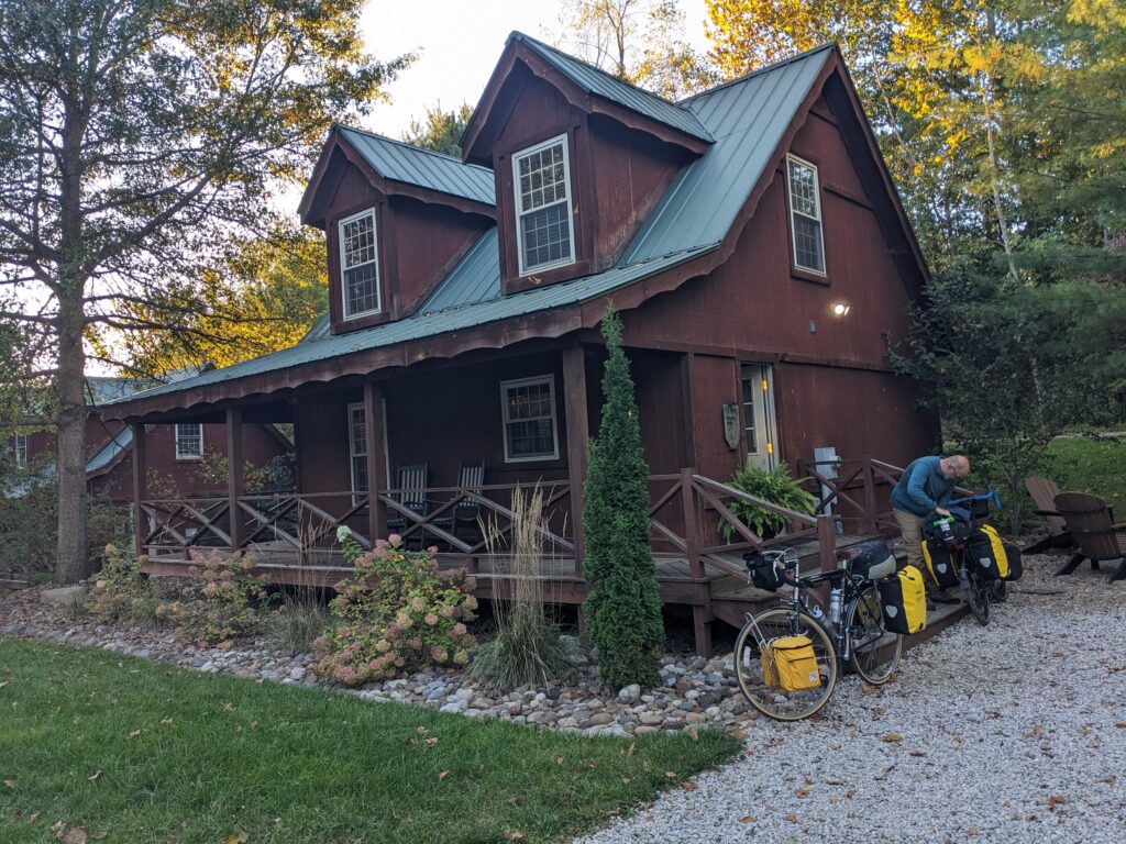
At Mile 209, a trail gap forces a short road section that leads to Killbuck. From there the Holmes County Trail continues all the way to Millersburg (Pop. 3,000). With an attractive commercial core (along Jackson St.), it’s a good place to stop for a provisions, a hot meal, or even a night in a hotel. We enjoyed the luxury of clean beds and hot showers in a very nice cabin at Trailside Lodging. Local information and clean restrooms are available at Hipp Station, right on the trail. Interesting attractions in town are the impressive 1885 courthouse and the Victorian House Museum.

Camping Options:
+ means you leave the trail at this point and ride the stated additional (one-way) miles to the campground
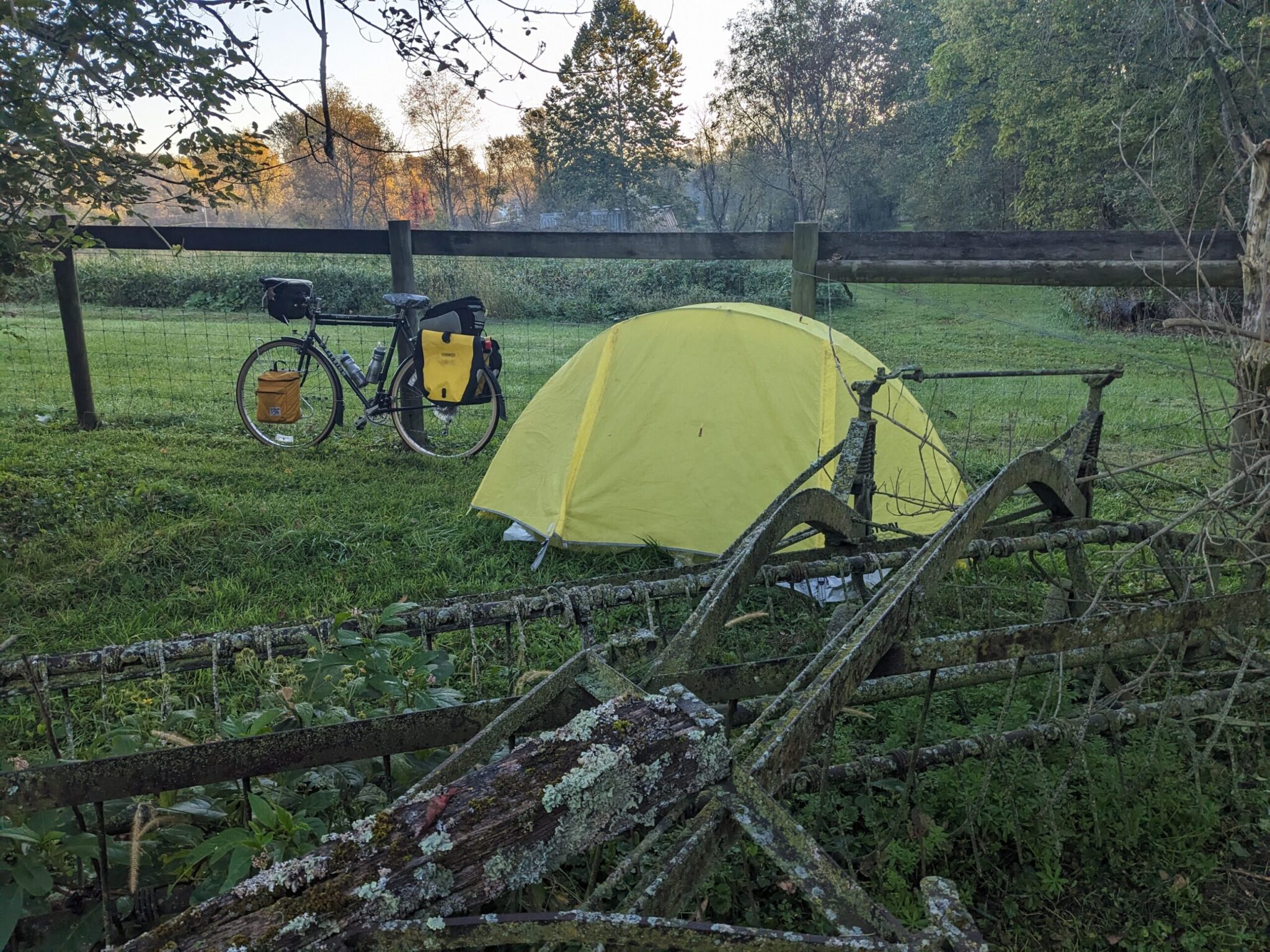
Mile 170: Mt. Liberty Berry Barn (Mt. Liberty) – Private campsite at a farm stand with an entrance right off the trail. Facilities inside barn accessible overnight. Very friendly owner. $25/person.
Mile 173 (+2): Rustic Knolls Campground (Mt. Vernon) – Commercial campground focused on RV’s. A bit pricey. $61.
Mile 188 (+2): Kokosing Valley Camp and Canoe (Loveland) – Commercial campground focused on RV’s. A bit pricey. $61.
Mile 193: Danville Primitive Campsite (Danville) – FREE camping right on the trail. I didn’t notice if there are bathrooms or running water as we passed by.
Mile 216 (+1.5): Turkey Hollow Campground (Millersburg) – Private primitive campground. Prepare for a steep climb up Rt. 102. If you’re traveling south, exit the trail at the Walmart (Mile 217) and take flatter Route 58 instead. $25 for two people.
North – millersburg to Cleveland (107 Miles)
 Out of Millersburg (Mile 219), the Holmes County Trail continues to Fredericksburg (Mile 229).
From there the route follows quiet country roads through Apple Creek and into Dalton. This was one of my favorite parts of the journey, with little traffic, expansive views of tidy Amish farms, and rolling hills that let you use the momentum of each descent to tackle most of the next approaching climb.
On the outskirts of Dalton, at the top of a long hill (Mile 245), a local cyclist has created a nice rest stop with chairs, a table, a water cooler, and a bike rack. It’s a great spot to sit and enjoy the views. While we relaxed, he came out and offered useful camping advice.

Dalton (pop. 2000) has a small but pleasant Main Street and a nice old-style ice cream stand with lots of outdoor seating. Heading out of town, the Sippo Valley Trail carries cylists the next 10 miles east. Though unpaved, the surface is fast and smooth.
Massillon (Mile 256):
 Pronounced “Mass-lun” (as I was corrected by locals, after my ill-advised French interpretation), this former steel-making city of 32,000 is a good stop for provisions, though the gritty, rust-belt feel of the downtown area lacks the charm of many of the smaller villages on the trail. The Sippo Valley trail ends on the west side of the Tuscarawas River and an automobile bridge connects it to the towpath trail on the downtown side. The Spring Hill Historic Home and Underground Railroad Site, down a quiet lane northeast of downtown, is well reviewed by locals, but advance reservations are required.
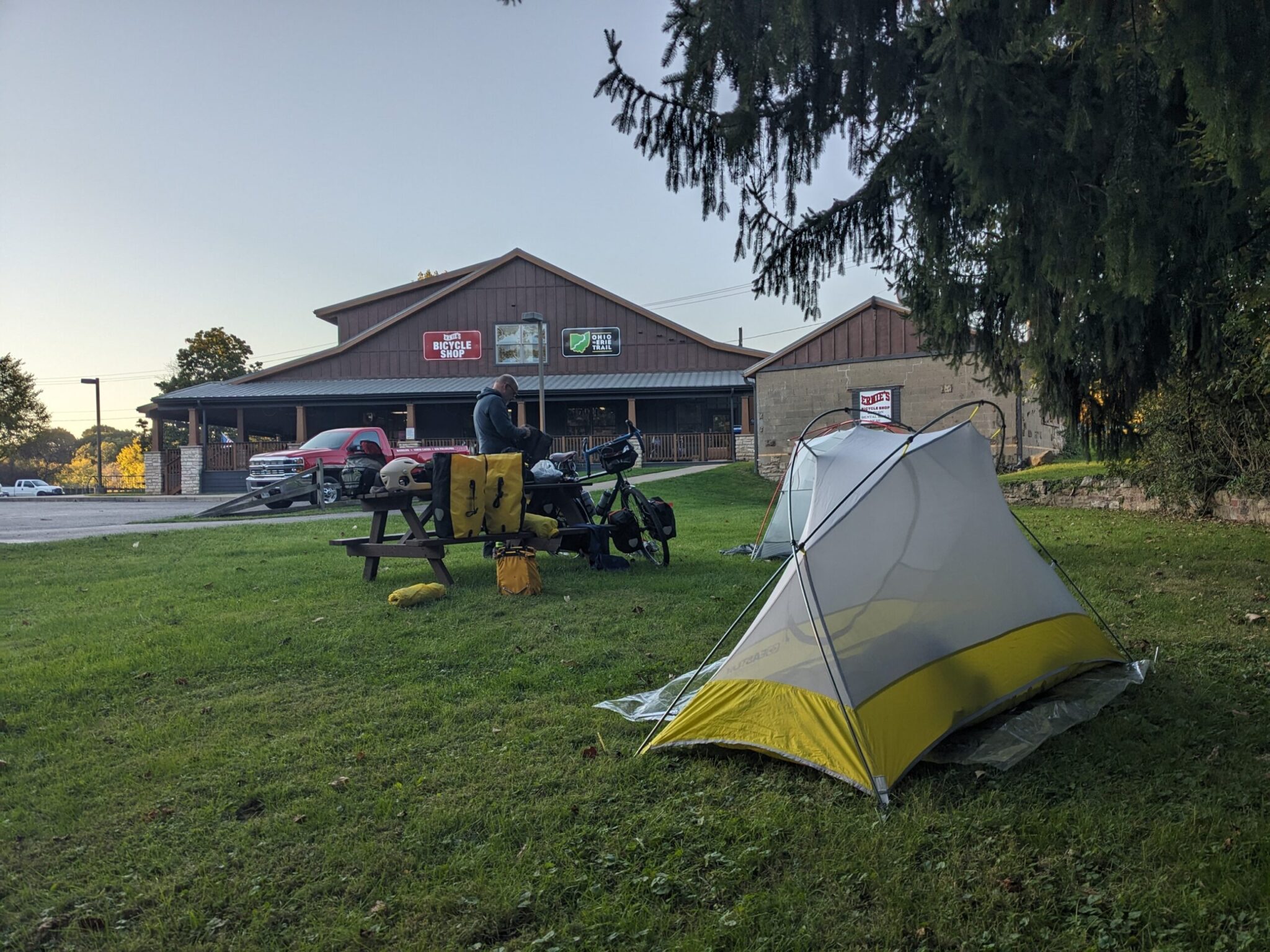
On the northern edge of town, Ernie’s Bike Shop sits right on the trail. The enthusiastic staff are full of useful information and the shop has a nice array of trail-specific clothing, maps, and souvenirs. They kindly let us camp in the grass near the adjacent park bathrooms.
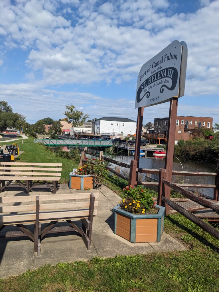
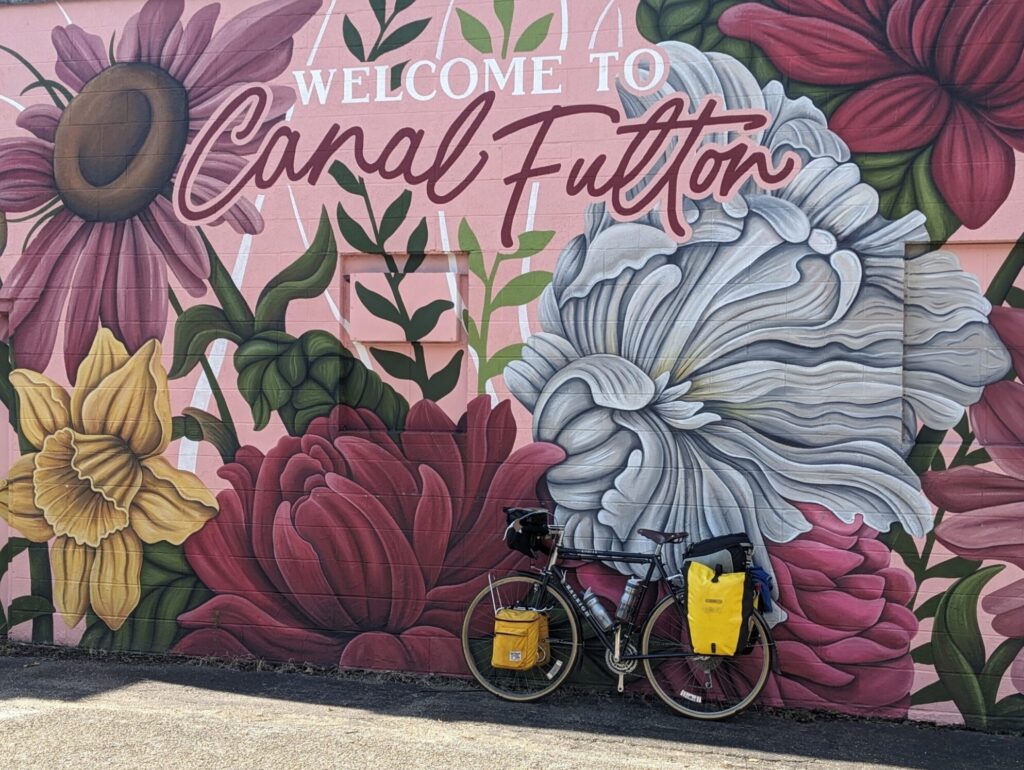
From Massilon north to Cleveland, the OTET leaves the Amish country and follows the path of the old Ohio and Erie Canal. Canal Fulton (Mile 265) has a small, attactive downtown, as well as an information desk at the Canal Boat Center next to the trail.
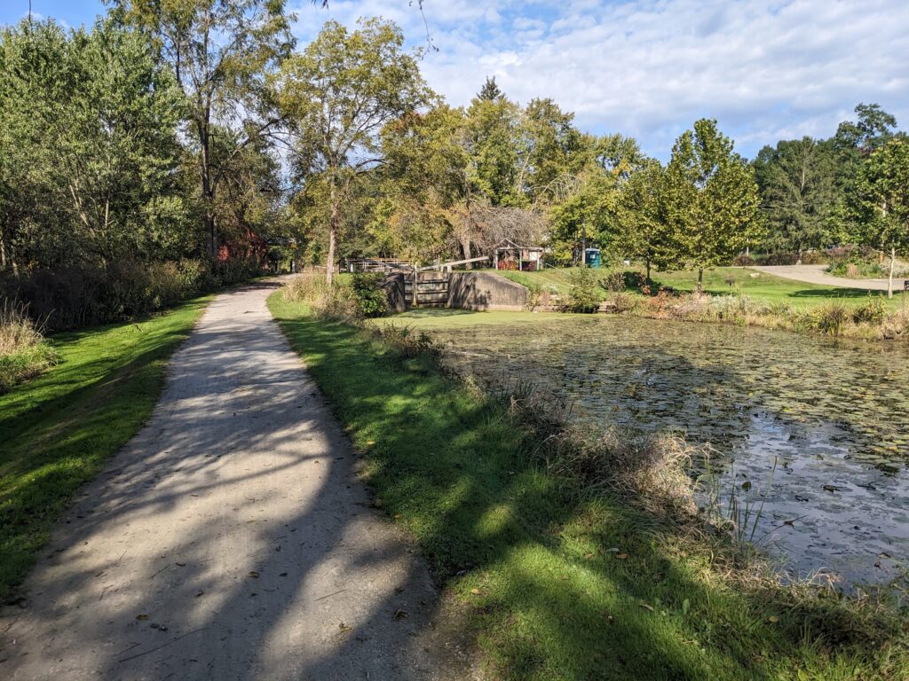
For the next 20 miles, the mostly unpaved towpath parallels the Tuscarawas River to the outskirts of Akron.
AKRON (Mile 285):
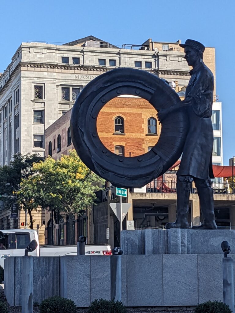
With a population of nearly 200,000, Akron is the fifth largest city in Ohio. It was founded in 1825 to take advantage of it’s strategic position on the Ohio and Erie Canal. A century later, it prospered as the center of the tire and rubber industry, with Goodyear, Firestone, and Goodrich all headquartered here.
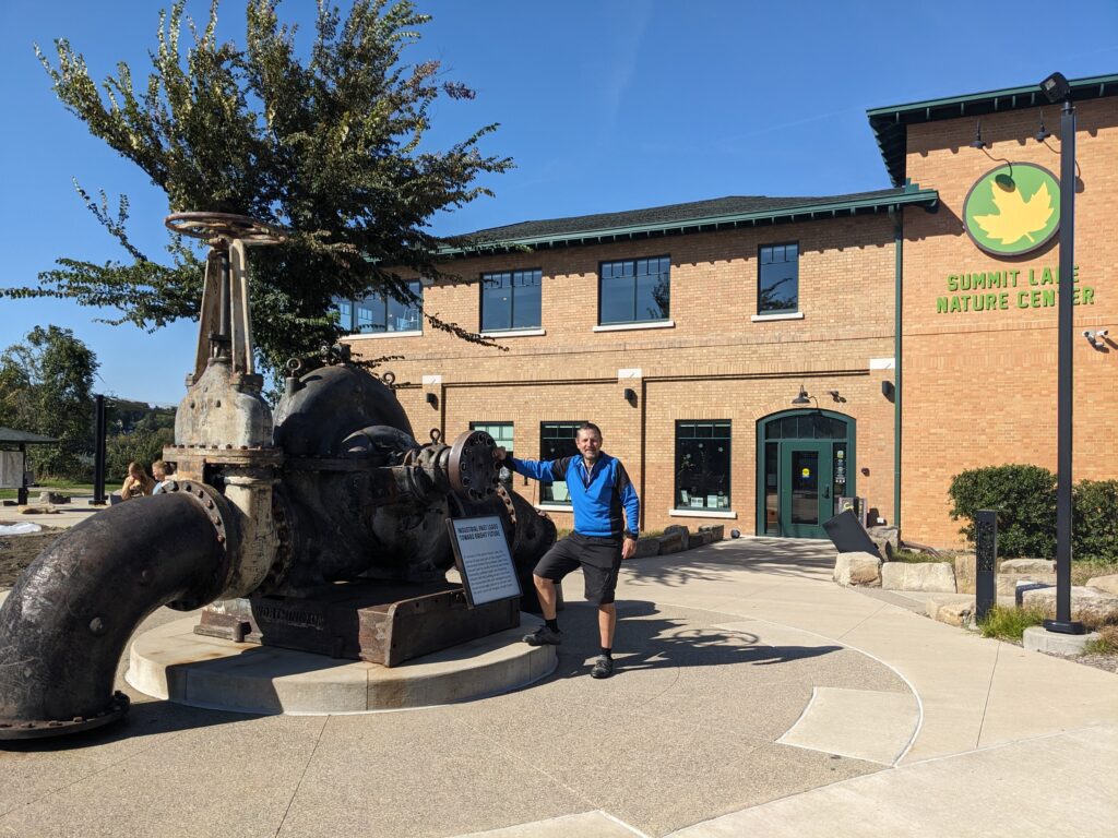
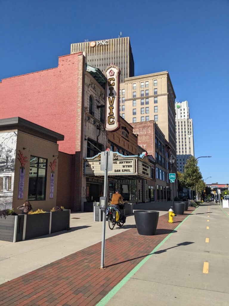
Just south of the city, Summit Lake Nature Center, situated trailside in an old pumping station on the lake, is worth a visit. Downtown, you can either ride alongside the canal past old locks and the Akron Children’s Museum or pop out to the protected path on the attractive Main Street. Either way, you’ll see the Rubber Ducks minor league baseball stadium and Lock 3 Park, with its outdoor amphitheater. Even better, loop around and see it all. Other attractions include the Akron History Center and the architecturally striking Akron Art Museum.
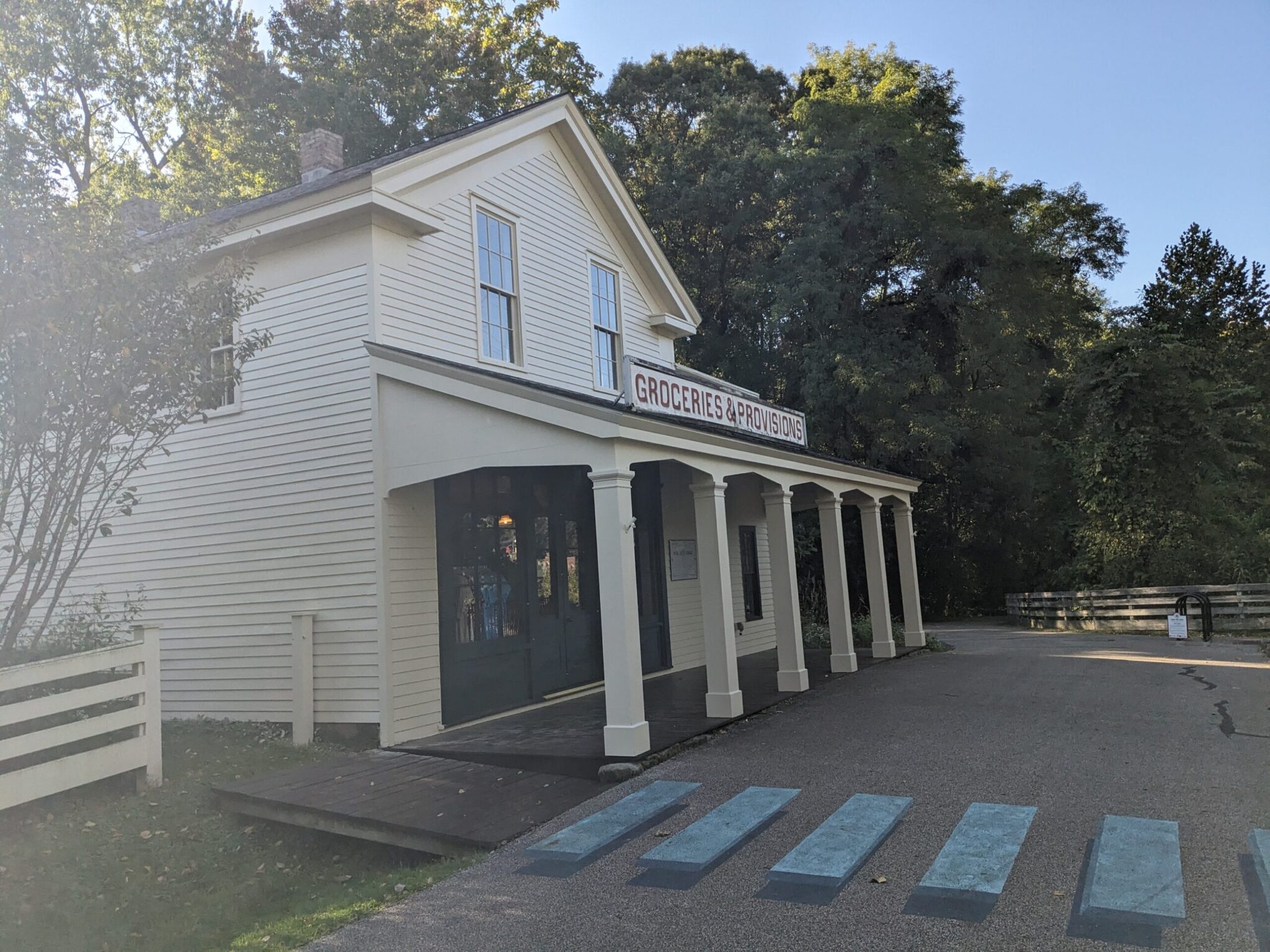 North of downtown, the towpath continues along the Little Cuyahoga River. At Mile 286, the Mustill Store Museum is worth a stop if it’s open.
For the next few miles, the trail alternates between asphalt and nicely maintained crushed stone.
Cuyahoga Valley National Park (Miles 292-312):
Filling most of the space along the Cuyahoga River between Akron and Cleveland, the Cuyahoga Valley National Park preserves a stretch of land that could easily have been filled with suburban sprawl instead. The early establishment of the Ohio & Erie Canal (1832) and Valley Railroad (1880), brought increasing commerce and industry to the farming villages in the area, along with significant environmental damage. In the 1960’s, movements to improve the situation were strengthened by the Cuyahoga River Fire of 1969. In 1975, the area was designated a National Recreation Area. In 2000, it became a National Park.
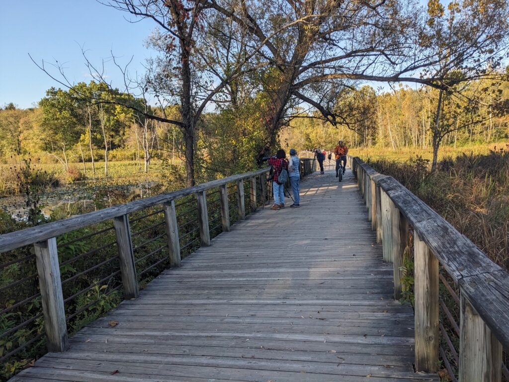
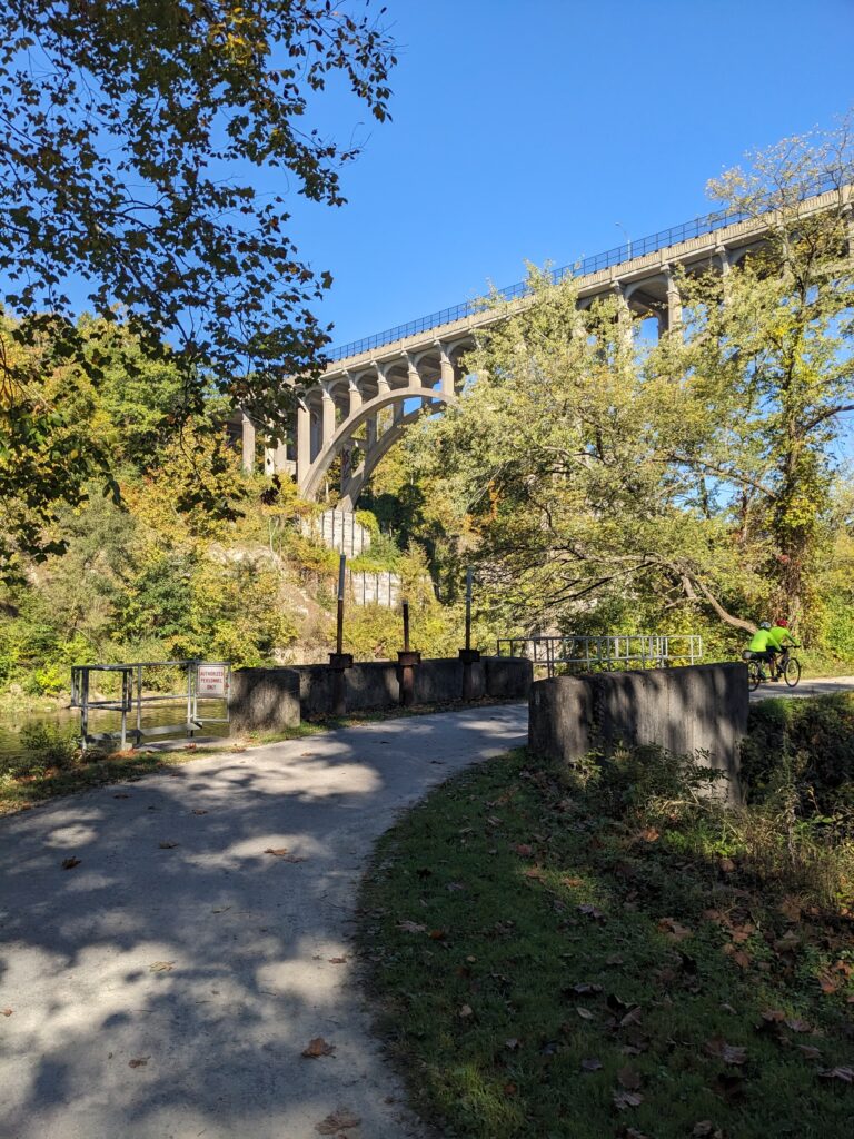

The OTET runs right through the heart of the park. It’s a bucolic, mostly unpaved part of the route. Worthwhile stops near the trail include: Hunt Farm Visitor Information Center (Mile 296), Everett Covered Bridge, Boston Mill Visitor Center (Mile 301), and Canal Exploration Center (Mile 310). Brandywine Falls is impressive, but reaching it requires a long hike or some significant two-wheeled climbing. Local farmer’s markets can be good stops for lunch or provisions. Eight currently operate within the park.
For a slightly different view point, the Cuyahoga Valley Scenic Railroad offers adventures that vary by season and depart from stations on both the north and south ends of the park. The trains follow a similar path to the trail, along the edge of the river.


Just a few miles north of the National Park border, Cleveland MetroParks operates the beautiful Canalway Center, which is perfect for travelers with children. It’s a short climb up a side trail at Mile 316.

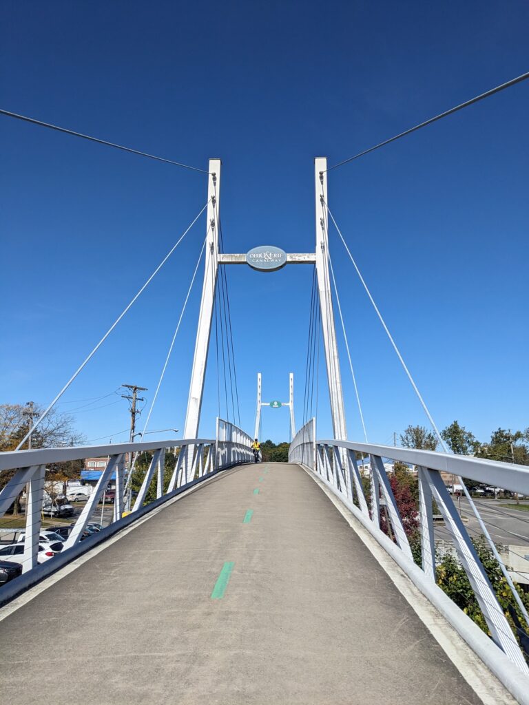

The last 10 miles of the OTET navigate a variety of trails and protected bike lanes on city streets that roughly parallel the river. The House from “A Christmas Story”, a popular local attraction tied to 1983 holiday comedy, is just up a hill from the trail. To get there, take the switchback at Mile 320 (near Jose Ramirez Baseball Field) up and out of the park, and cross Clark Ave. onto 11th St. The house will be a block down. You can even spend a night there. If you have to ask about the cost, it’s probably not for you.
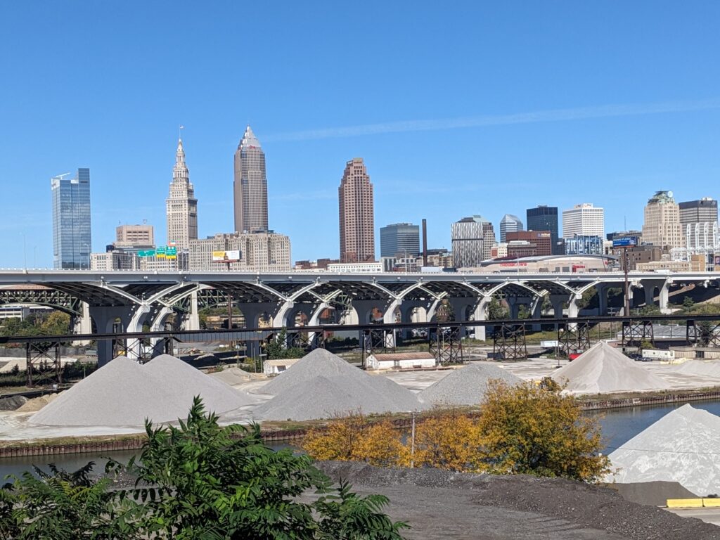
Over the next 5 miles, the route passes through some industrial sections and climbs a few hills, revealing some panoramic views of the skyline. The signage is mostly good, but after crossing the river onto Irishtown Bend on Carter Road (Mile 323 – near Canal Basin Park and the Towpath Mural), navigation is baffling, even with GPS. If you can find Center Street and cross the river again on the pretty steel bridge, the trail signage will resume.


Cleveland (Mile 365):
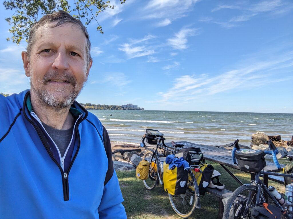
The OTET doesn’t go into downtown Cleveland. Instead, it stays on the west side, hitting the Lake Erie waterfront at Wendy Park, then continuing along the lakeshore for about 2 more miles to Edgewater park. That’s the spot for the final tire dip!
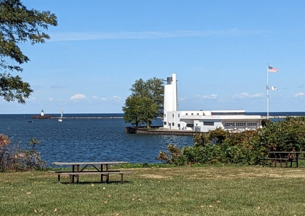
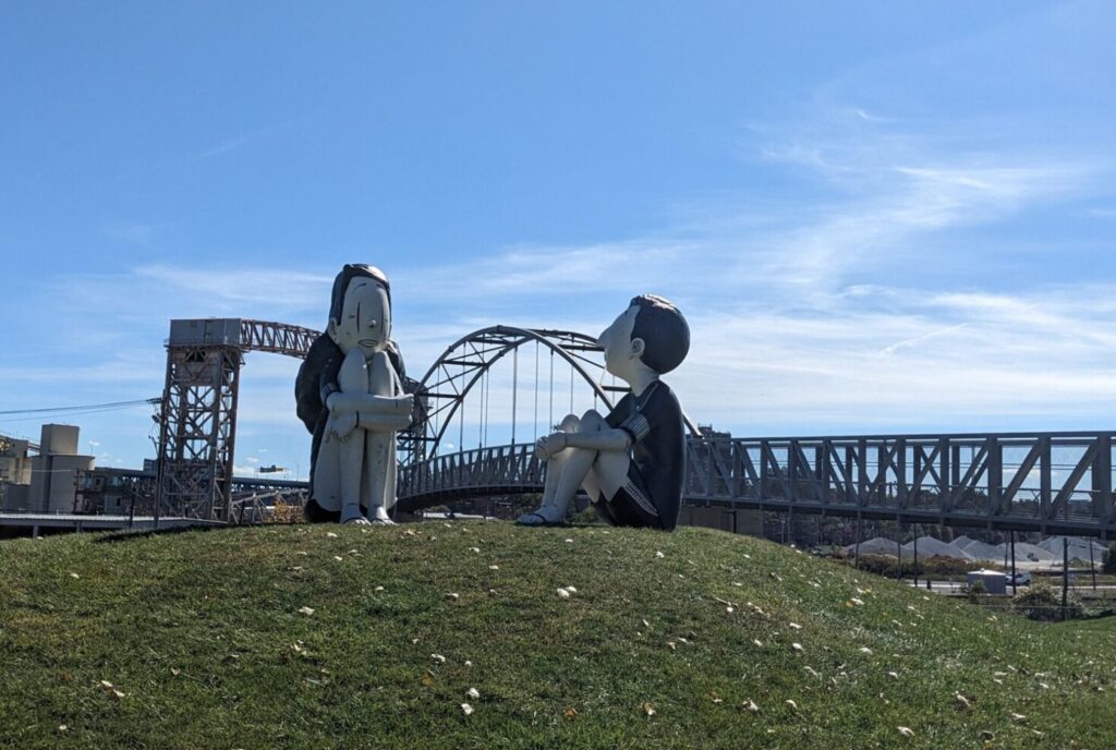
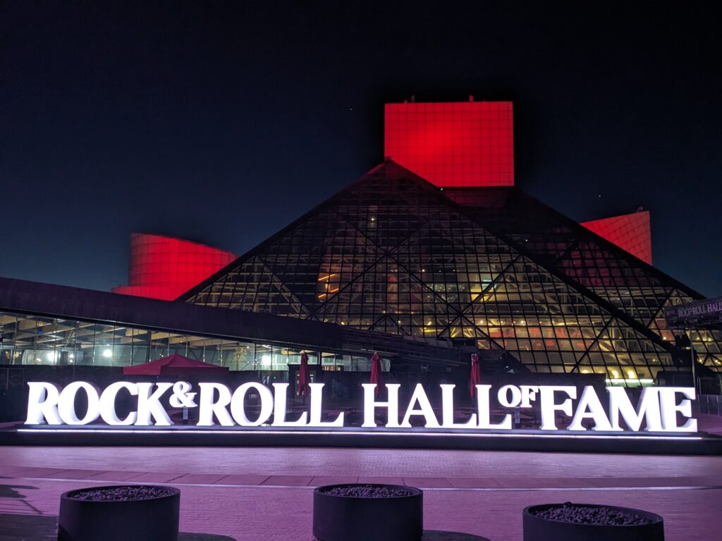
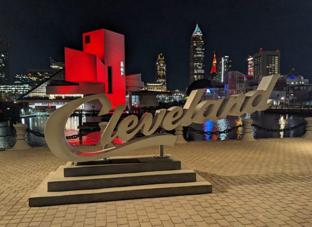
It’s not the most lively downtown, but Cleveland does have a few solid attractions, so it’s worth getting off the trail for a little exploration, or even spending a night in town. The Great Lakes Science Center, Cleveland Aquarium, and Museum of Illusions are popular destinations. It’s also possible to tour a steamship and submarine at North Coast Harbor. By far the biggest attraction in town, though, is the Rock and Roll Hall of Fame. We allocated four hours for a Thursday evening visit, and that was just about right. Anybody vaguely interested in popular music will find something of interest here. Or you can play a vintage pinball machine and beat on some drums.

Camping Options:
Mile 259: River’s Edge Campground (Massillon) – FREE camping right on the trail. No running water. Portable toilet adjacent parking lot.
Mile 265: Canal Fulton Canoe Livery and Campground (Canal Fulton) – Private campground close to town with running water and bathrooms. Only two sites, so reserve ahead. $25.
Mile 269: Hillside Park of Clinton (Clinton) – RV focused private campground. No website. Rates unclear. Mixed reviews.
Mile 271: Summit Metro Park Franklin Trailhead (New Franklin) – FREE primitive camping between the trail and parking lot. No running water or toilets that I can see. No fires.
Mile 289: Summit Metro Park Big Bend Trailhead (Akron) – FREE primitive camping between the trail and parking lot. No running water or toilets that I can see. No fires.
Mile 296: Valley Overlook Campground and Lodging (Peninsula) – Private campground close to the trail. Secluded sites at the top of the hill with showers and bathrooms. $60.
Mile 299: Heritage Farms Campground (Peninsula) – Private primative campground close to the trail with open sites and three sided shelters. No showers or running water. Walking distance to town. $40-50.
This is a nice tour that is suitable for both beginner and intermediate cyclists. The route is beautiful, most of the trail is paved and off-road, and the hills all have moderate grades. The unpaved sections are in very good condition.
If you don’t live nearby, the logistics of getting to/from the end points can be challenging. The cities are nice and the smaller towns are pleasant. However, interesting sights are less frequent than on other long trails (like the Empire State Trail). In addition, there are some sections where finding a good campsite is challenging.
There aren’t many 300+ mile trails in the United States. If you haven’t ridden the Erie Canal or GAP/C&O (Pittsburgh to DC), do those first. But the Ohio to Erie Trail is almost at good and well worth cycling.
Enjoy the ride!