
350 Mile Gem in Upstate New yOrk
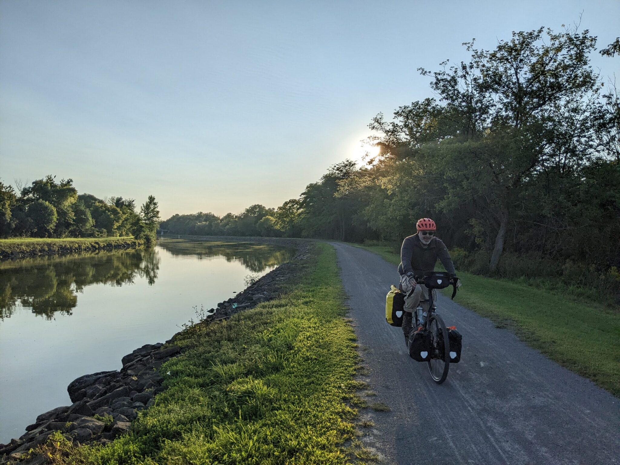
Are you looking for a place to ride for a week or so on well-maintained trails with flat terrain and appealing towns? Somewhere with interesting history, easy signage, plentiful accomodations, and convenient train access? Does that sound like too much to ask? Well, it really exists, and it’s within a few hundred miles of New York, Boston, Philly, Washington, Detroit, Toronto, and Montreal.
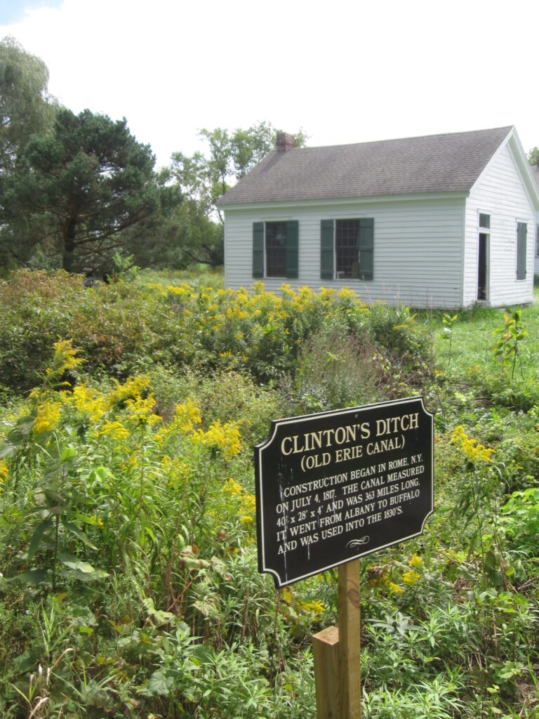
Back in the 1820’s, the New York governor convinced his fellow citizens to invest the unheard of sum of $7 million (about $240 million in 2026) in “Clinton’s Ditch”, a waterway connecting Lake Erie with the Hudson River. It revolutionized commerce between East Coast cities and the burgeoning territories west of the Applachian Mountains. Decades later, as faster and cheaper railroads took over the transport business, canal traffic diminished to little more than recreational craft. Starting in the 1970’s, local communities began refurbishing the old tow paths, where mules had pulled barges with ropes, into multi-use recreational trails. As of 2020, the complete corridor is navigable by bike.
The 350-mile route is almost entirely off-road, with a mix of paved and crushed stone surfaces. It passes through Buffalo, Rochester, Syracuse, and Albany, as well as dozens of charming small towns. The grade is modest, with only 6000 feet of elevation gain over the entire distance. Camping, lodging, and provisions are plentiful. Plus, the route parallels the Amtrak Empire line, so you can start/finish in any of 9 stations or even tie Niagara Falls into the ride.
Official Site: Empire State Trail
Difficulty: Easy
Ride Type: One-Way
Surface: Mixed (Paved and Unpaved)
★★★★★
Note: This route description is based on tours I took in 2011, 2023, 2025.
The Good:
-
- Beautiful scenery with farmland, rolling hills, and rivers
- Attractive, interesting towns along the way
- Fascinating history with multiple museums near the trail
- Plenty of cyclist-friendly accommodations, including inexpensive camping at marinas in several towns and locks along the canal
- Smooth, well-maintained trail
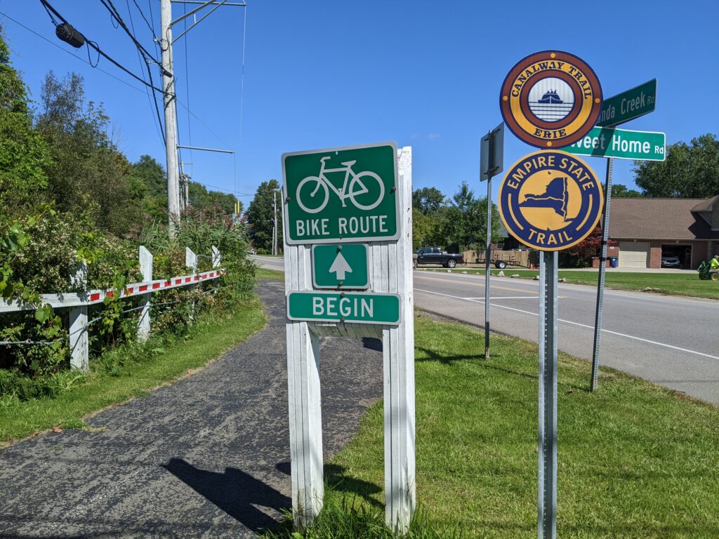
- Good signage
- Easy access via Amtrak
The Bad:
-
- More adventurous cyclists may find the straight, flat terrain a little monotonous
Feel free to jump ahead to a specific segment:
Route Map
General Considerations
Trail Information
 The Erie Canalway Trail is part of the broader Empire State Trail. The official website has an interactive map that shows accomodations and attractions if you zoom in close enough to see individual towns. It also has GPS routes available for download.
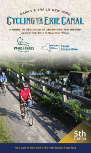
“Cycling the Erie Canal”, a very good spiral-bound guidebook ($26.95), breaks down sections of the trail into easily navigable maps with icons for attractions, hotels, and camping. It is conveniently sized to fit in a handlebar map case.
BikeErieCanal.com is another good resource, with extensive listings of camping and shopping options and a useful “Trip Planner” tool.
For great info on the history, technology, and uses of the canal, check out eriecanalway.org.
The everchanging Canal |
|---|
|
The Erie Canal Trail has been widened and moved multiple times over two centuries:
|
Climate and terrain
This area is reasonably populous, with towns at regular intervals.
- Water is readily available on most of the trail, but there are a few longer stretches between towns. It’s always best to keep your bottles topped up.
- Pack some food – at least some trail mix or energy bars. Keep a meal or two of dry or canned goods if you’re camping.
- Pack a repair kit (tube, patch kit, pump/inflator, tire levers, multi-tool, cable ties).
- Load gps/phone maps offline, so you can still navigate when there is no cell service. Consider paper maps.
- Keep an eye on the forecast. Upstate New York can get severe weather, including thunderstorms and humid heat in the summer. Waterproof panniers and good rain gear are essential. The spring and fall can get cold there may even be some snow. If you have a down sleeping bag, take it.
LOOP vs. One-Way
I’ve only ridden this trail one-way. It’s long enough for a good one-way ride, and the presence of Amtrak stations makes it easy to choose a length that suits you.
A loop may be possible in the western section using The Ontario Pathways or Lehigh Valley Trail, but it would involve a significant amount of riding on roads with no bike lanes.
The general recommendation is to ride west to east due to descending elevation and prevailing winds. (Think of how the snow travels east off of Lake Erie!) Of course, that’s no guarantee. One of my first days on the trail involved battling a 15 mph headwind out of the east back in 2011.
Bike Selection and preparation
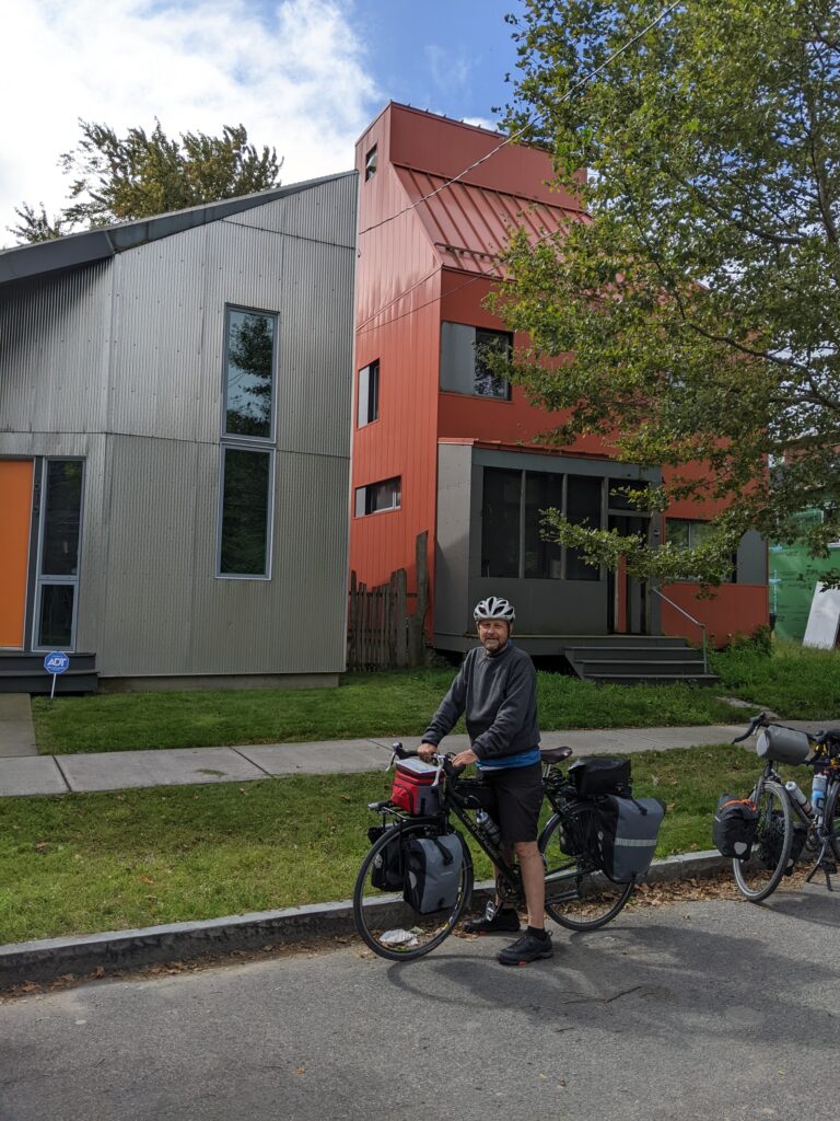
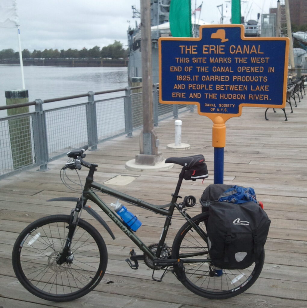
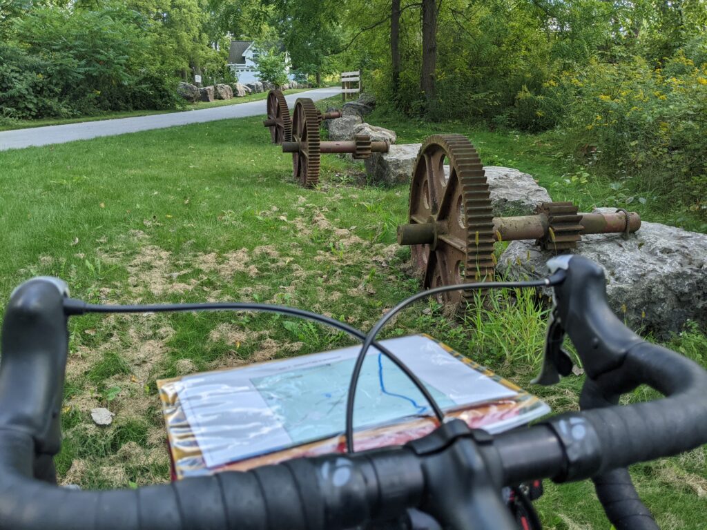
This trail is about 60% paved. The rest is crushed stone which is mostly in very good condition. It could be ridden on a road bike with narrow tires, but that wouldn’t be the best choice. I’ve ridden it on two different vintage (1985 and 2000) touring bikes and a folding hybrid. They all had 35-40mm tires, and that was good range: reasonably fast, but big enough to handle the rough spots.
Some means of carrying supplies is essential, Any decent rear rack and a set of panniers should do the job. If you’re camping, front racks and panniers will also be helpful. You can read about my camping-touring setup at this recent post.

Critters
Most of this trail is a mix of small towns and rural stretches, where I always worry about being chased by dogs. My helmet goes off to the people of upstate New York. In 3 trips, not a single off-leash dog charged at me on the entire trail. Of course, there are no guarantees your experience will be the same. Keep your eyes open.
There are a few poisonous snakes in the region: timber rattlesnake, massasauga, and copperhead. All are uncommon and avoid humans. A little awareness should keep you out of trouble.
There are no grizzly bears in New York, thankfully! However, there are black bears, coyotes, wolves, raccoons, etc. None of those typically pose any danger to humans, but it’s always a good idea to hang your food from a tree when camping.
Mosquitoes and black flies are another story. Bring bug spray and keep it handy.
Getting There and Parking
 The two ends of the trail are near downtown Buffalo and Albany. You can start at either of those, or any point in between. Buffalo, Rochester, Syracuse, and Albany all have big airports. They all also have manned train stations that allow bikes on board.
The entire route conveniently parallels the Amtrak Empire line, which stops at stations in Albany/Rensselaer, Schenectady, Amsterdam, Utica, Rome, Syracuse, Rochester and Buffalo. As of 2026, bikes are “Carry-On”, meaning they are hung on hooks in the passenger car (rather than going in a luggage car). BOOK AHEAD, since hooks are limited. You’ll also probably get a better fare that way.
The boarding process can be a bit stressful, so arrive early. Bags must be removed and you may need to remove the front wheel due to the height of the hooks. It’s good to have shoulder straps for moving your detached bags. Amtrak has a helpful page of Bike FAQ’s. Don’t be deterred by the minor train challenges. I’ve ridden Amtrak many times with a loaded bike. The staff was friendly, patient, and helpful. Once you’re settled, the seats are comfy and the scenery is nice.
Assuming you want to ride the whole trail and are hoping to ride mostly downhill with prevailing winds at your back, start at the train station just across the Hudson River from downtown Albany. You can take the train to Buffalo and pedal back to your car (or take a train back to NYC, etc.). Riding onto and across the Dunn Memorial Bridge is confusing, but at least there is a separated bike lane. Parking at the station is managed by CDTA, and surface lot rates in 2026 are $10/day or $50/wk. If you’re not set on riding end-to-end, the smaller stations in Amsterdam, Rome, and Utica have free overnight parking and are easier to navigate.


Niagara falls alternate Start
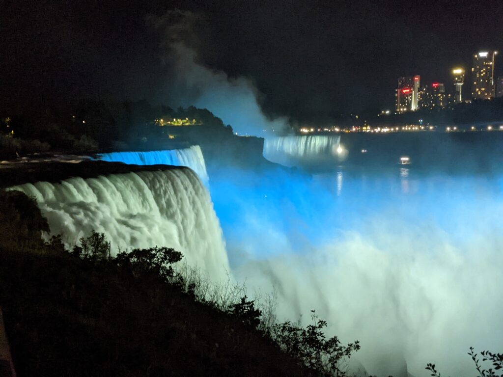
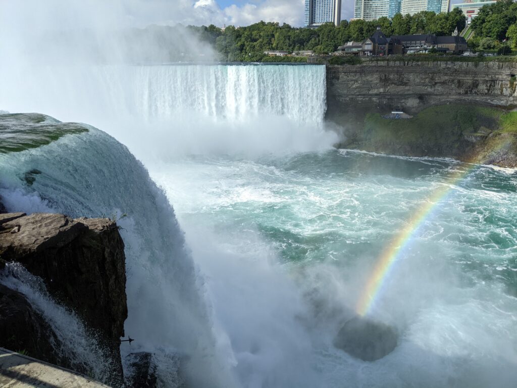
The Amtrak Empire line continues past Buffalo to Niagara Falls, which is another good place to start pedaling. We started there in 2023, following bike paths and lanes along the Niagara River to Tonowanda, where we easily connected with the Erie Canal Trail. It can be fun to check out the falls at the beginning of the ride.
West – Buffalo to Rochester (95 miles)
buffalo (Mile 0):
The train will probably get you to Buffalo too late to ride to a campground, so it makes sense to book a hotel in town, then grab a drink and dinner. Non-vegetarians might try some wings or Beef on Wick. The area around Elmwood Ave. just north of downtown is a good place to start exploring.
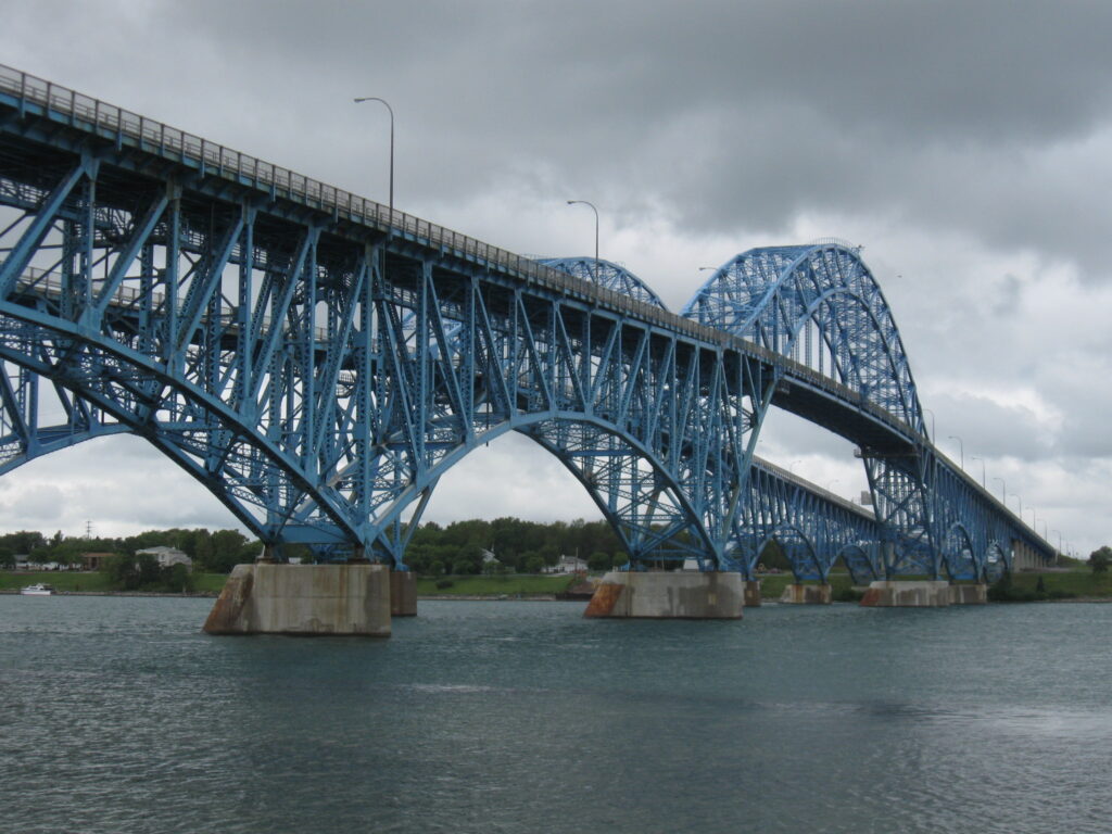
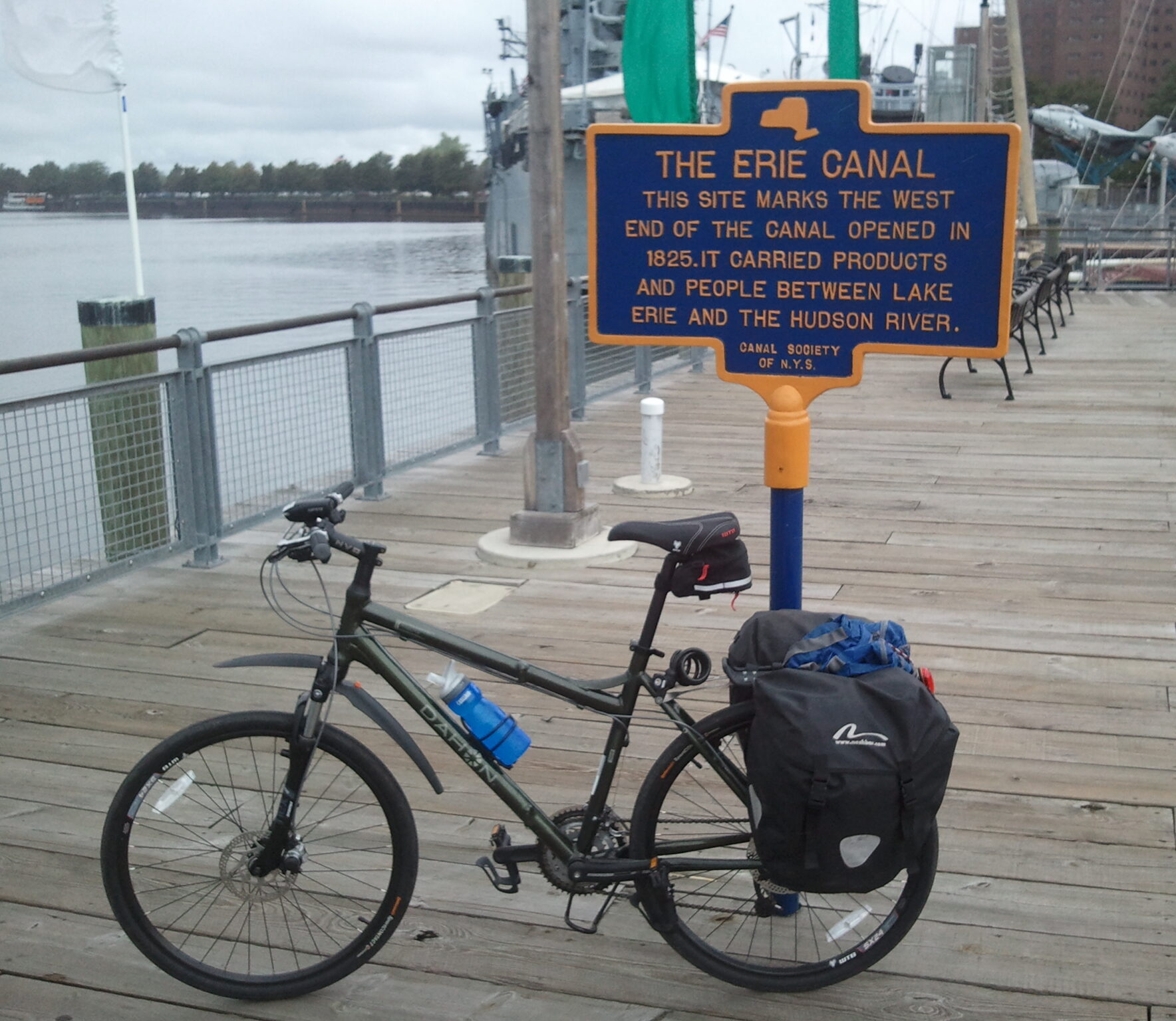 The official map shows the trail starting at Buffalo Harbor State Park, about two miles south of downtown on Lake Erie. I’d suggest starting at the “Zero Mile Marker” at Canalside instead, since it’s closer to town and has some interesting sights. It may seem strange to start downtown, when the current canal begins 10 miles north in Tonawanda. However, the original canal, now filled in, extended along the Niagara River to this point at the mouth of the Buffalo River. Both the modern trail and the original canal path roughly aligned with modern Niagara Street and River Road.
Before leaving town, consider hitting the Harbor Museum, Heritage Carousel, Naval & Military Park, and/or the Main Lighthouse (you can get there by bike ferry!).
A worthwhile stop before you tackle the trail is “Waterway of Change”, an exhibit next to the Carousel at Canalside. Created by the Buffalo History Museum, it’s free and traces the history the canal and it’s impact on the community.
Heading out of the city, the route alternates between protected bike lanes and separated paths while paralleling the river. Keep in mind that the filled-in canal is under you most of the way! The water views are scenic, but the nearby roads are busy and loud. If you’re an architecture buff, Frank Lloyd Wright’s Martin House is only 2-3 miles off the trail, down the Jesse Kregal Pathway, near the zoo. There are a few nice parks along the route, and some restaurants/stores are nearby. At Tonowanda, the trail leaves the river and begins it’s eastwark trek along the modern canal. The noise subsides, the ride grows more relaxed, and the recreational nature of the modern waterway becomes immediately apparent, with pleasure boats docked along the edge of the water.
Lockport (Mile 33):
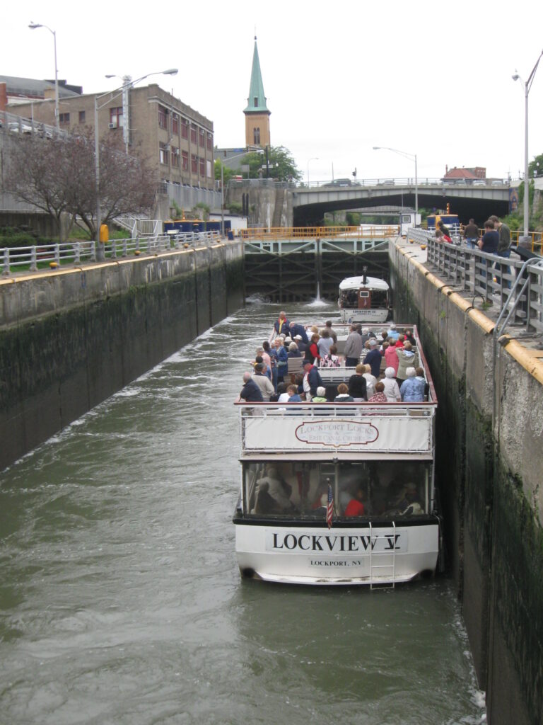
The trail is paved and pleasant for most of the next 15 miles, but there isn’t much reason to stop until you reach Lockport, the site of the biggest engineering challenge the canal builders faced. Lake Erie is 571 feet higher than the Hudson River, so travelers pass dozens of locks that allow boats to change elevation as needed. The largest single drop is in Lockport where a large limstone cliff, part of the Niagra Escarpment (which also forms Niagara Falls), drops 60 feet. Originally, 5 adjacent locks were required to scale the cliff. The modern canal uses two much larger (wider and taller) locks that can handle larger boats and allow much faster passage.
5ad
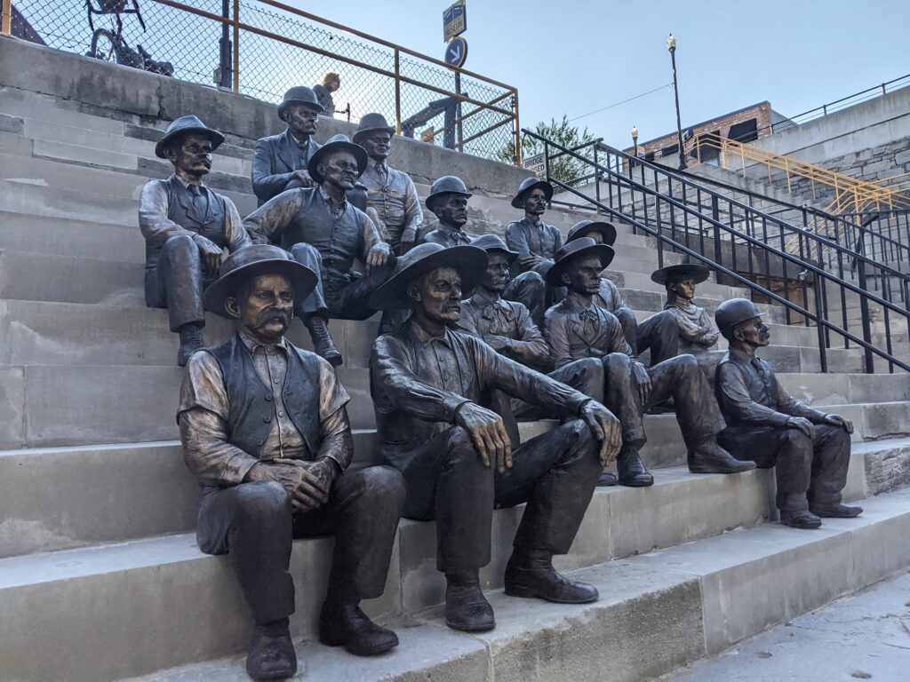
The locks remain a striking and impressive feature, and the town of Lockport has fully embraced their heritage. The town has an Erie Canal Discovery Center and offers tours of the facilities . You can also experience a trip through the locks on a canal boat. Learn more at the Lockport Locks Heritage District website. This welcoming town is also a good stop for lunch or coffee.

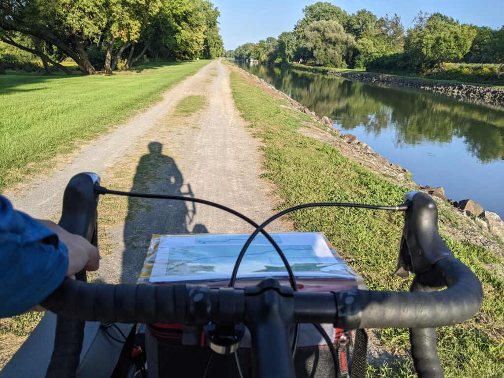
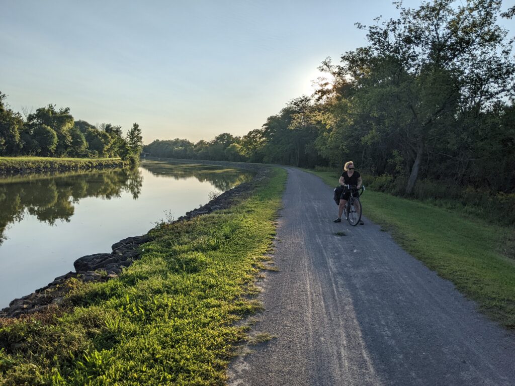
To the east, the trail transitions to a nice crushed stone surface and the towns become smaller, though no less charming.
Medina (Mile 50):
This town of 6,000 has an attractive downtown with lots of shops and restaurants close to the trail. An impressive waterfall sits just off the trail where an aquaduct passes over Oak Orchard Creek. Two miles east, the Medina Culvert is the only place where the canal passes over an operating road.


Brockport (Mile 75):
The home of SUNY-Brockport, this town of 7,000 is a good place to stop for supplies, lunch, or to camp for the night on the canal (see below).

Spencerport (Mile 83):
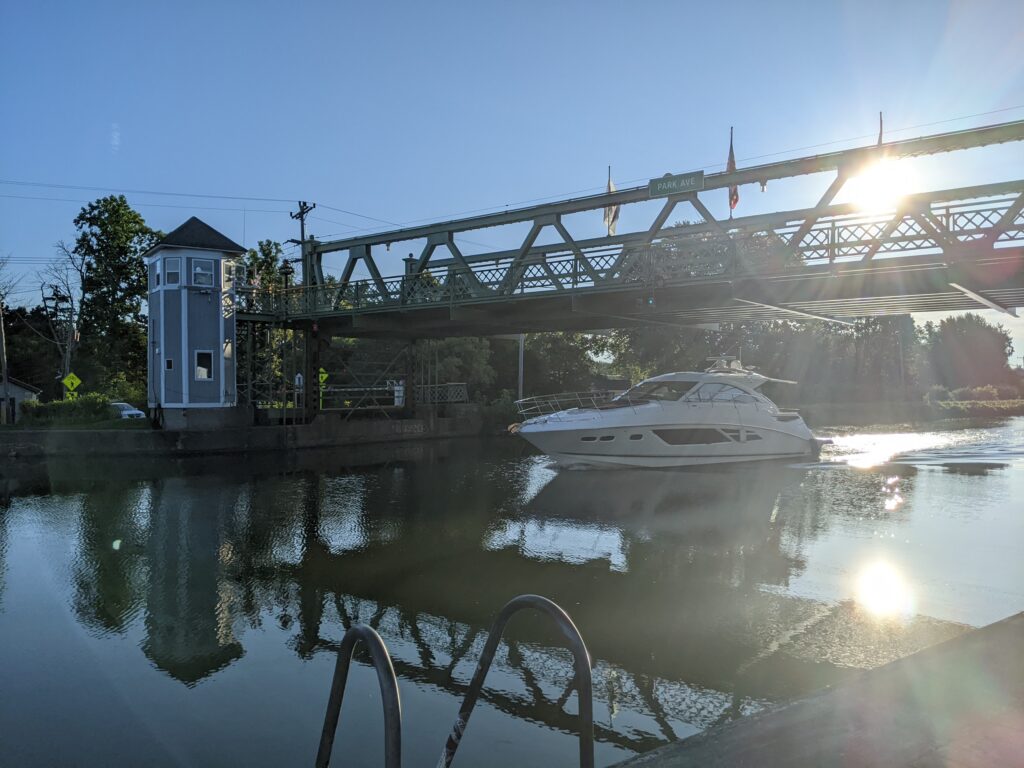
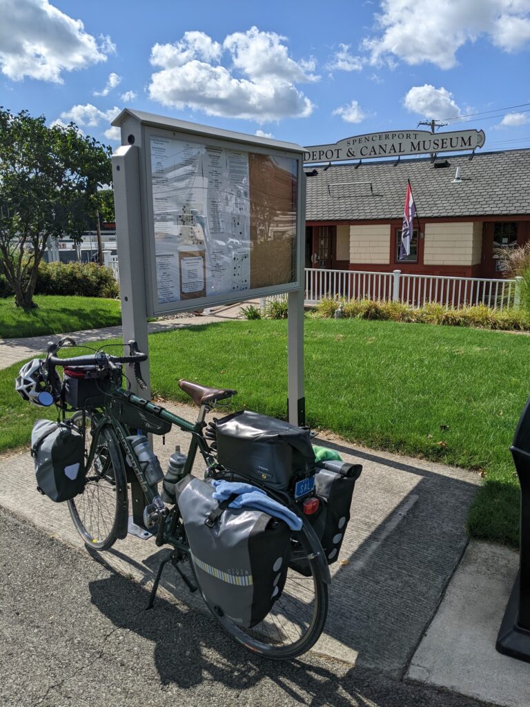
This small town has a few nice restaurants and a very interesting Depot and Canal Museum.


Rochester (Mile 95):
Less than 10 miles past Spencerport, the trail loops around the south side of Rochester and the trail transitions to a mostly paved surface. If you want to check out the city, hop on the Genesee River Trail and pedal north for a about two miles. You can ride up one side of the river and back down the other. With a population of 200,000, Rochester offers lots of practicalities and is a center of industry and education, with numerous museums and arts attractions. It’s also home of the Genesee Brewery. Popular attractions include The Strong Museum of Play, George Eastman Museum, Public Market, Susan B. Anthony House, and Rochester Museum and Science Center.

Easy, Convenient Camping:
Mile 45: Middleport Harbor (Middleport) – The town allows camping on the grass next to the canal, behind the Fire Department. Pleasant and convenient, close to pizza and coffee shops, bathrooms in the back of the Fire Department building. FREE. Info: 716-735-3303
Mile 67: Red Rock Ponds RV Resort (Holley/Brockville) – Commercial campground, RV-oriented, good reviews. $50 (in 2026)
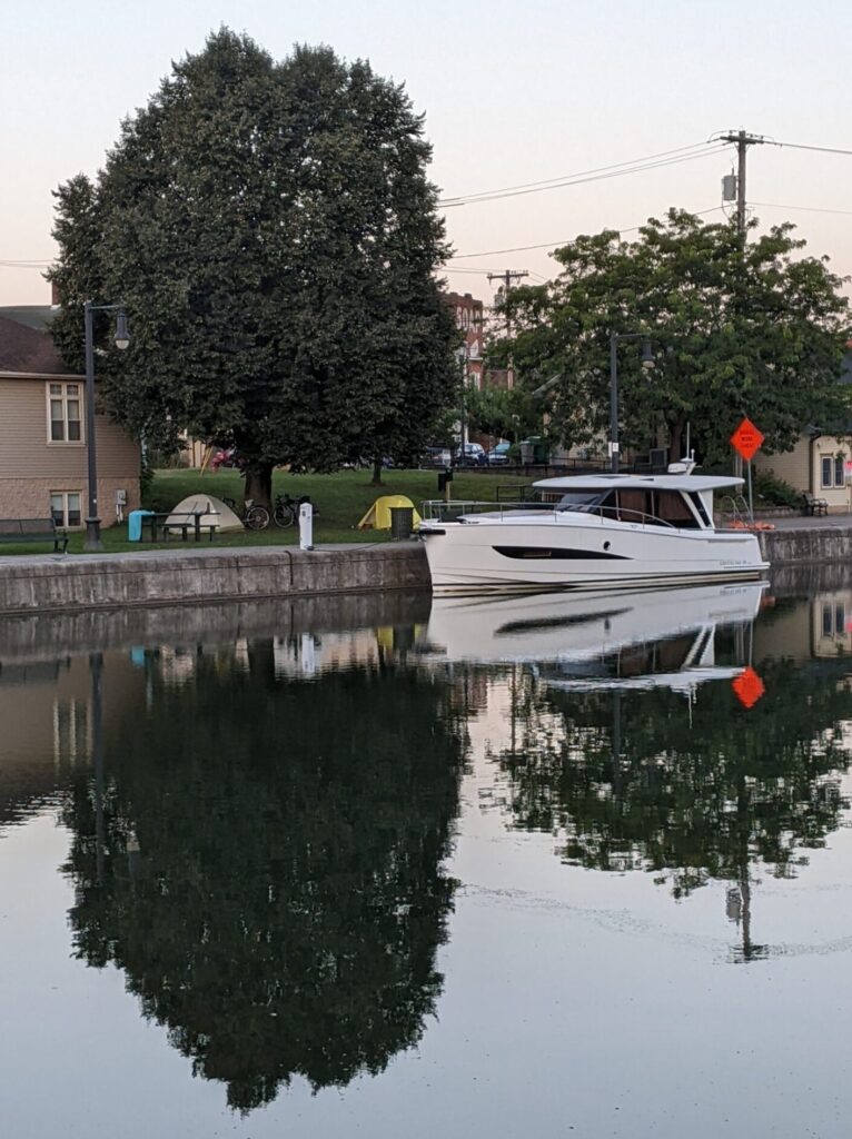
Mile 75: Brockport Welcome Center/Marina – Pitch a tent in the lawn of the welcome center. The grounds are small, but the location is right in town, next to the canal. Register at the Welcome Center. You’ll get keys to the bathrooms. Recommended donation – $5. Info: (585) 637-1000
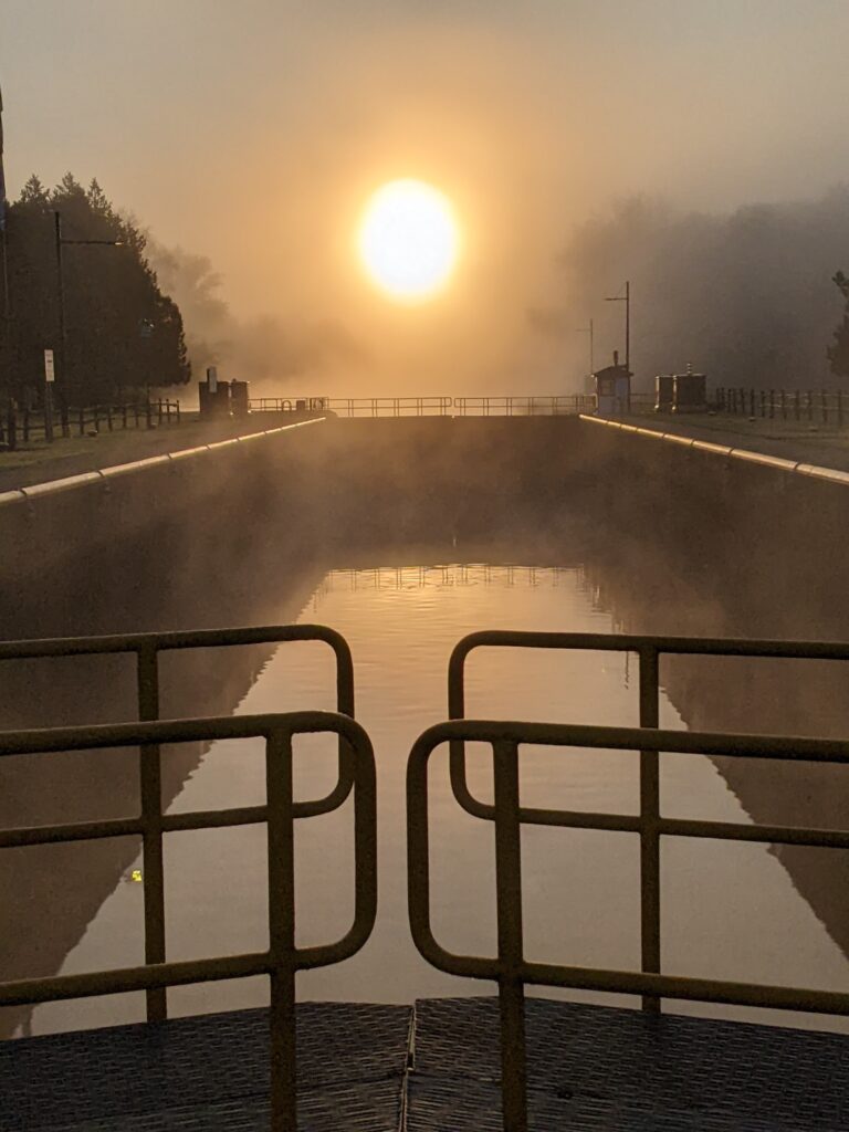
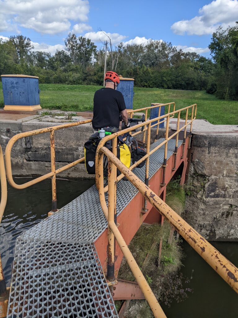
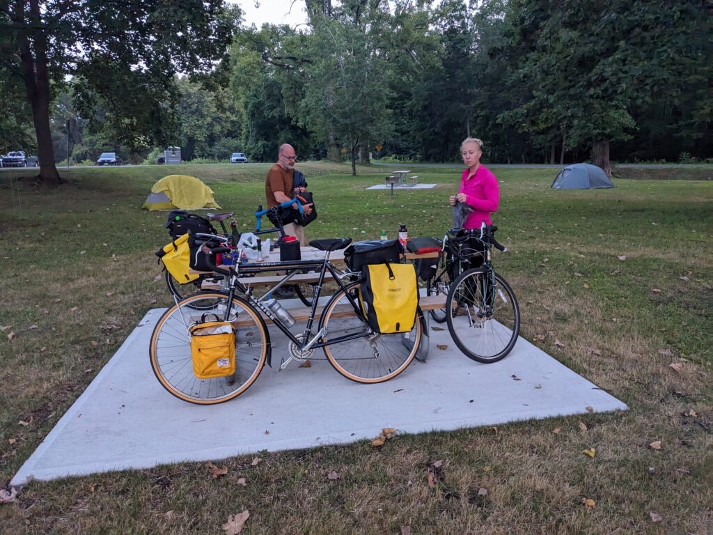
Mile 98: Lock E33 (Rochester) – Primitive campsite provided by New York State Canal Corporation (NYSCC) at a functioning lock. Pit toilet and running water. FREE
Mile 100: Lock E32 (Pittsford) – Primitive campsite provided by NYSCC at a functioning lock. Pit toilet. FREE
Free Government Camping |
|
|---|---|
|
The Erie Canal Trail has many camping possibilities, including free or low cost options:
|
 |
Central – Rochester to Rome (144 Miles)
The central section of the trail is quieter than the west, with less attractions, but plenty of beautiful countryside and welcoming towns. The surface alternates between paved and unpaved, with both in generally good condition. Heading east out of Rochester, you’ll ride through Palmyra, Newark, Lyons, and Clyde, which all offer shopping and restaurants.
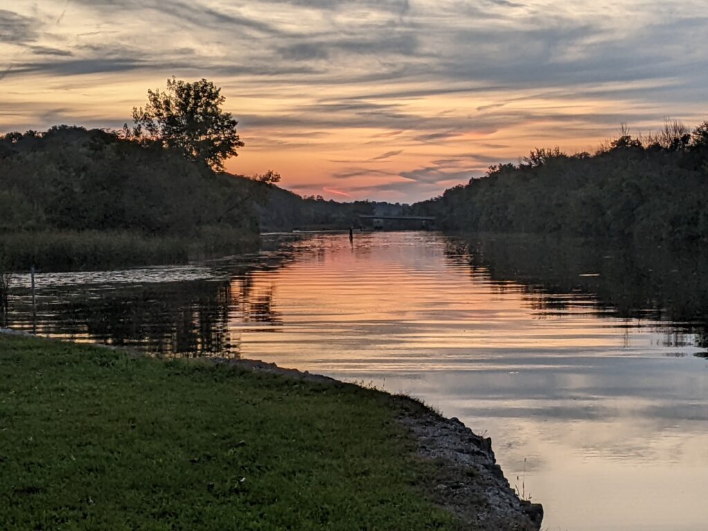
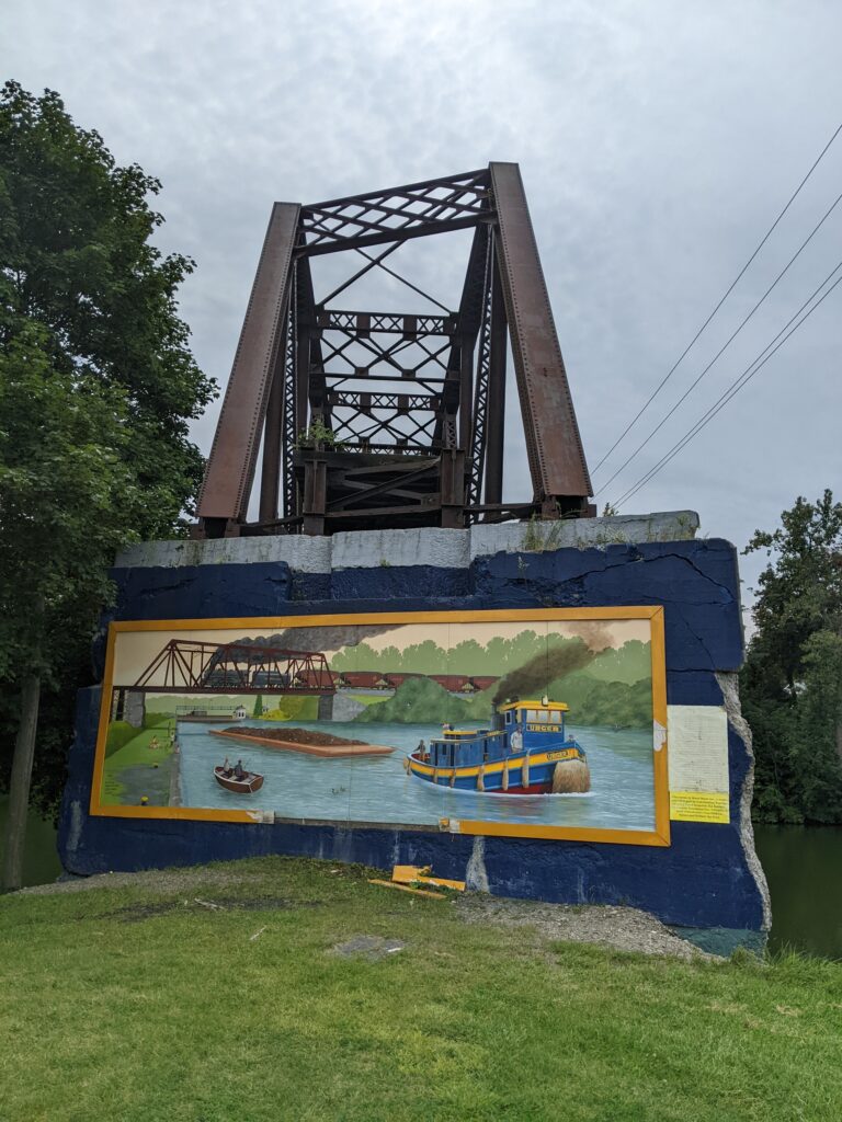
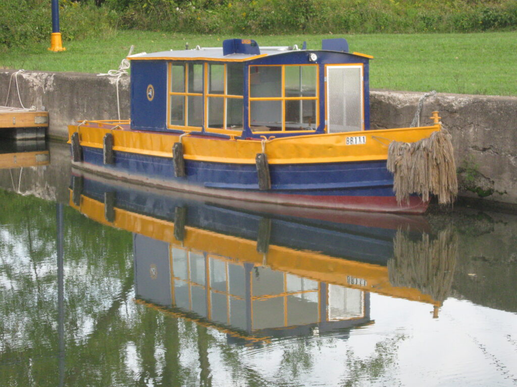
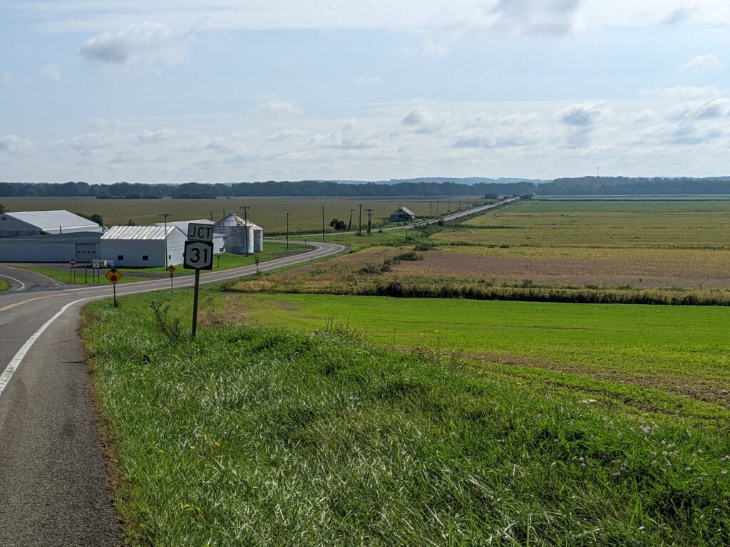
East of Clyde, the trail diverts off the canal onto Route 31 through Savannah. South of there sit several possible diversions: Montezuma National Wildlife Refuge, Seneca Falls (with several women’s rights sites), and Cayuga Lake.
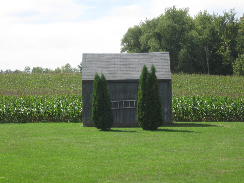

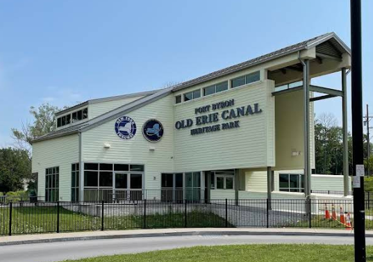
After a few more miles heading east on the shoulder of Route 31, the trail enters Port Byron, where the Old Erie Canal Heritage Park sits between the road and Lock 52. It focuses on smaller old canal, rather the larger modern one. The welcome center has a some nice artifacts, a welcoming staff, and clean modern bathrooms. The grounds include an old saloon and blacksmith shop. East of Port Byron, the trail shifts back to the towpath but, as you might expect, it’s on the bank of the old canal. It’s an interesting contrast, though much of the abandoned waterway now sits dry and overgrown. Some towns, like Jordan, have taken advantage of the space by creating parks and gardens.

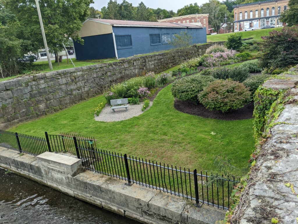
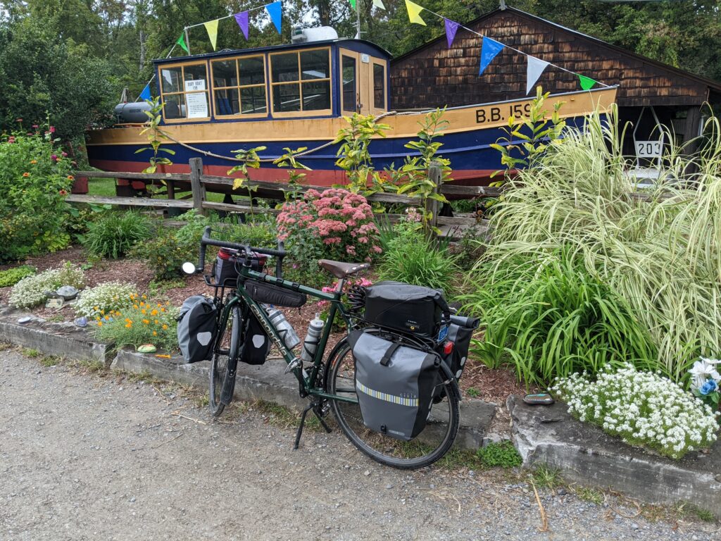
In Camillus, the Erie Canal Park marks the center point of the journey. You’re halfway there – 180 miles! The park includes Nine Mile Creek Aquaduct, an old-fashioned canal store, and boat tours.

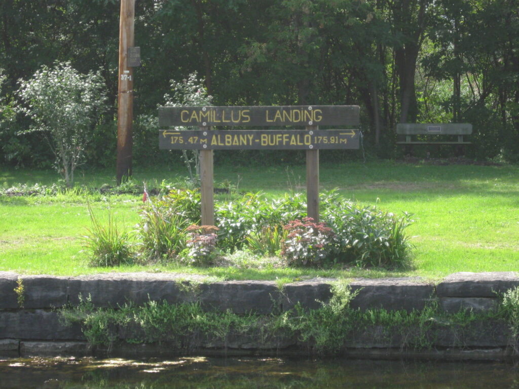
Syracuse (Mile 190):
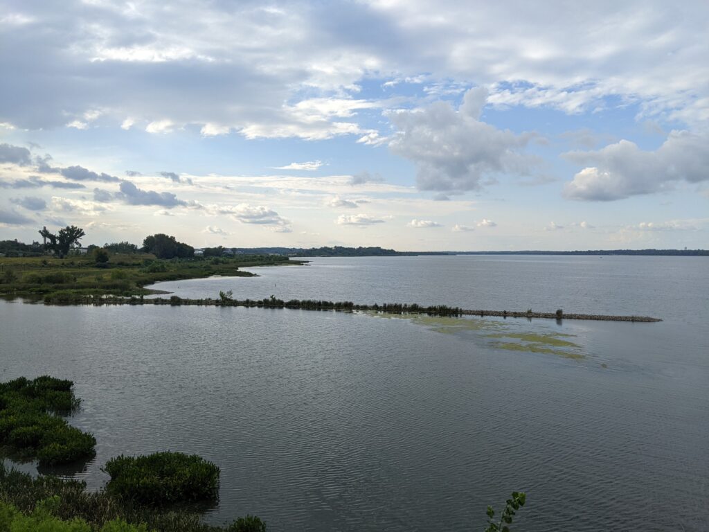
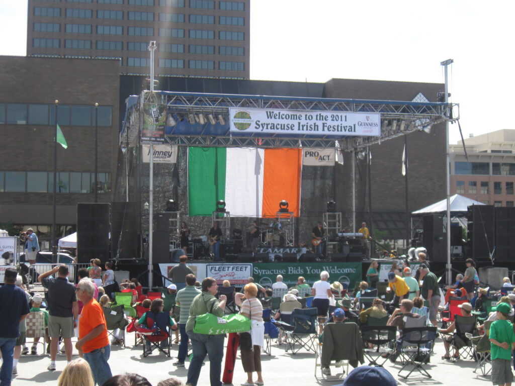
Less than 10 miles past Camillus, the trail winds through the New York State Fairgrounds (fair is late August/early September) and along the scenic edge of Onondaga Lake into the center of Syracuse. The next convenient camping option is at least 10 miles away, so this city of 150,000 could be a good spot for a hotel night. Of course, there is a well-regarded Erie Canal Museum, set downtown in the only remaining weighlock building. Other highlights include Everson Museum of Art (in an I.M. Pei-designed building), Museum of Science & Technology, and the area around Syracuse University.

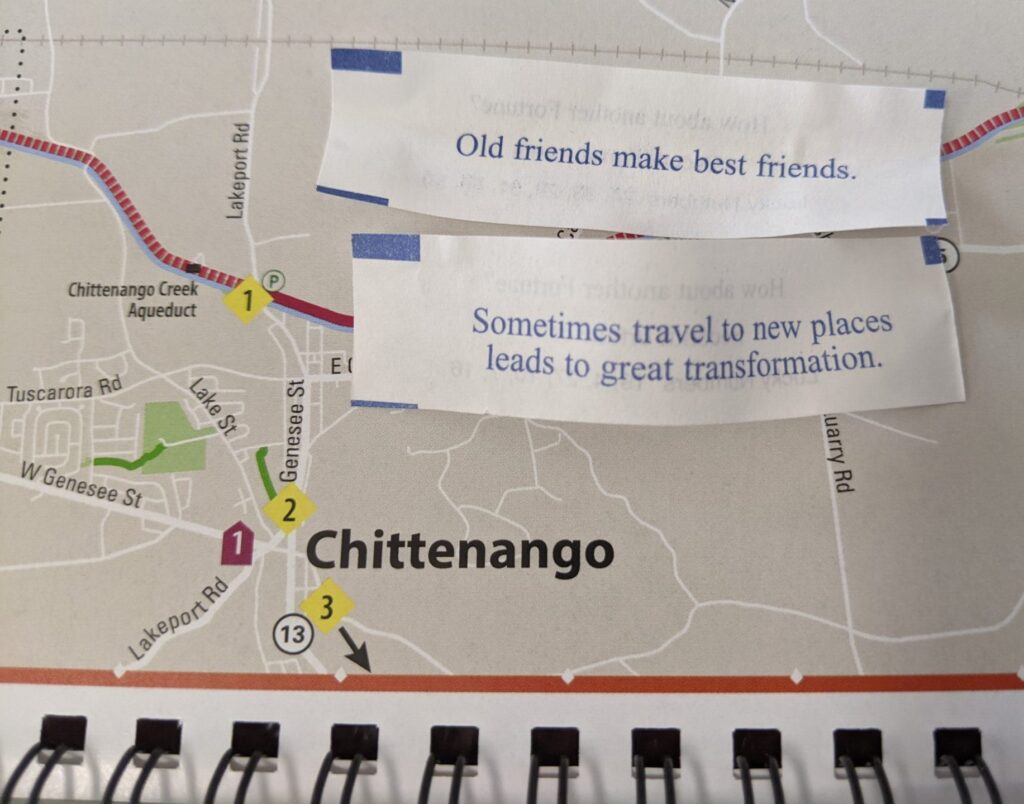
Heading out of the city, a separated bike lane (over the now filled-in canal) on Old Erie Boulevard carries cyclists to DeWitt, where the old canal appears again and continues past a series of attractive parks into Chittenango, birthplace of Frank Baum and home of the All Things Oz Museum (and yellow brick sidewalks). The town also has an interesting Canal Boat Museum.


10 miles further east, the trail loops to the north of Oneida, where the Oneida Community thrived in the mid-1800’s. A Christian perfectionist society, they believed in communal property, including complex marriage (free love) and male sexual continence. You can learn more, and even spend a night, at the Oneida Community Mansion House. After the community dissolved in 1880, former members built the still-existing company that produces Oneida silverware.


Rome (Mile 237):
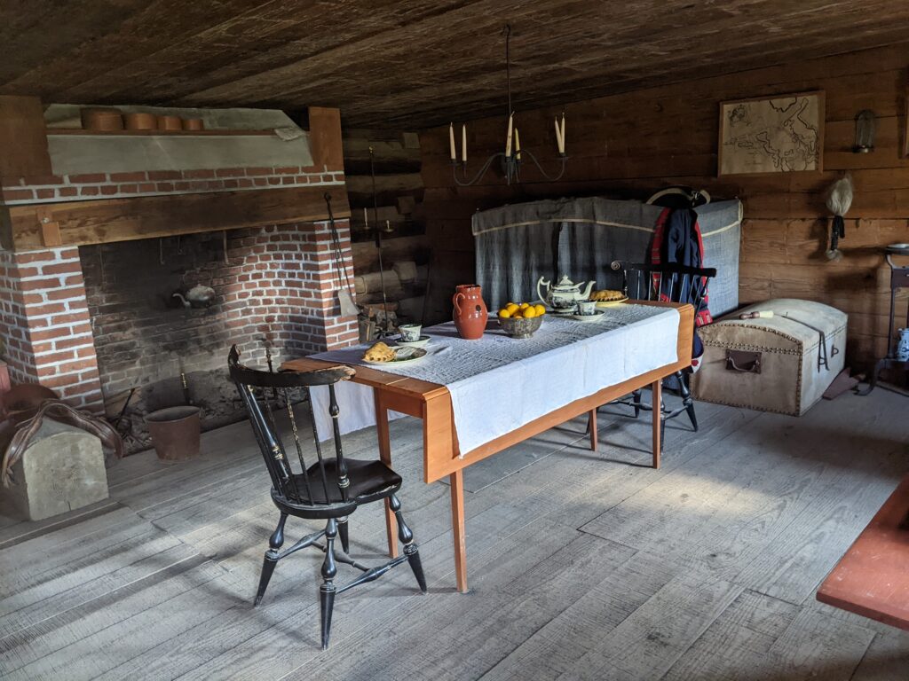
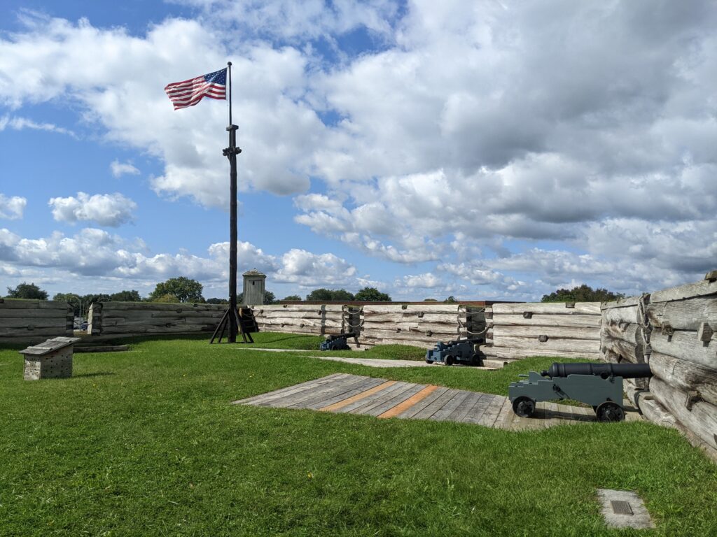
Still following the old canal, the trail continues 20 miles northeast to Rome, a welcoming city of 30,000. It’s not hard to find, since “all roads lead to Rome”. A can’t-miss stop is Fort Stanwix National Monument, a re-creation of the fort that played a major role in the revolutionary war. The enthusiastic staff will happily fill you in on the details. If you can’t decide on other activities in town, just follow the locals, since everybody knows: “When in Rome, do as the Romans…”

Low Bridge, Everybody Down |
|
|---|---|
|
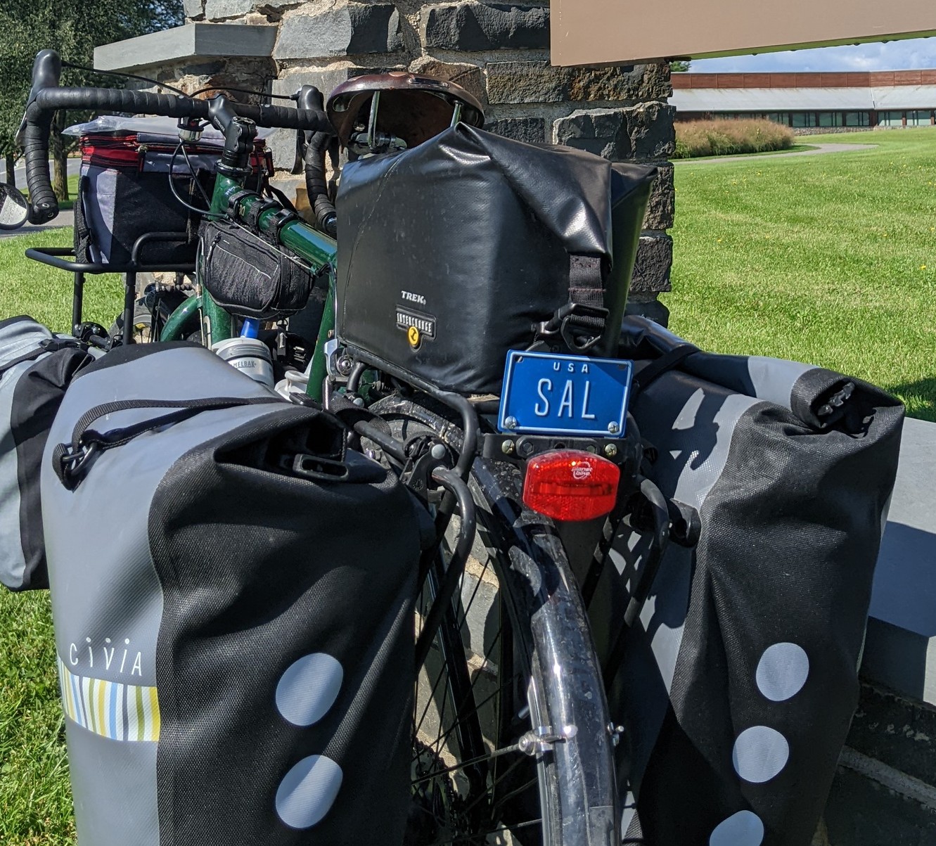
In the early 1900’s, a tune about traveling on the Erie Canal was credited to Thomas S. Allen. It’s variously known as “Erie Canal Song”, “Fifteen Miles on the Erie Canal”, and “Low Bridge”. The tune is in the voice of a canal boat captain singing the praises of his trusty mule, “Sal”. The chorus refers to the direction given to passengers riding on top of a canal boat as they passed through a town with a bridge over the canal. “Low bridge, everybody down. Low bridge, we’re coming through a town.” Popular for decades, it’s been covered by artists as diverse as Pete Seeger, The Kingston Trio, Suzanne Vega, and Bruce Springsteen. I put a vintage “Sal” license plate on my mule for the last two rides. Sadly, almost no one noticed. |
 |
Easy, Convenient Camping:
+ means you leave the trail at this point and ride the stated additional miles to the campground
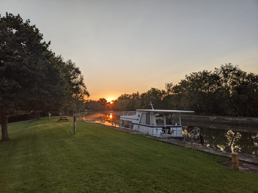
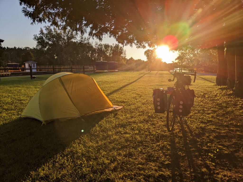
Mile 116: Lock E30 (Macedon) – Primitive campsite provided by NYSCC at a functioning lock. Big open area. Great sunset views. Pit toilet and running water. FREE
Mile 130: Whispering Winds RV Resort (Newark) – Commercial campground, RV-oriented, good reviews. $38 (in 2026)
Mile 152 (+3): Rivers Crossing Campground (Savannah/Montezuma) – Commercial campground, RV-oriented but pleasant. $30-35 (in 2026)
Mile 152: (+3): Lock E25 (Savannah/Montezuma) – Primitive campsite provided by NYSCC at a functioning lock. Under Route 89 bridge (may be noisy). FREE
Mile 163 (+2): River Forest Park Campground (Weedsport) – Commercial campground, off trail but on canal, RV-oriented. $51-62 (in 2026)
Mile 200: Green Lakes State Park (Fayetteville) – Nice state park with lake and beach. Right off trail. $27-$31 (in 2026)
Mile 220 (+4): Verona Beach State Park (Verona Beach) – A bit off of trail on Oneida Lake. $34-38 (in 2026)
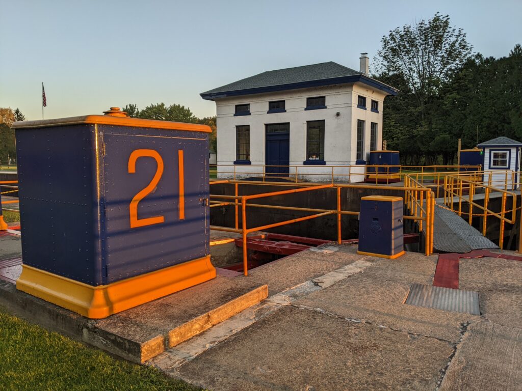
Mile 225: Lock E21 (Rome) – Primitive campsite provided by NYSCC at a functioning lock. Nice, quiet setting. Portable toilet and running water. FREE
East – Rome to albany (125 Miles)
At Rome, the trail enters Mowawk River Valley, through which it runs the rest of the way to Albany. Most of it is paved.
The 25 miles from Rome to Frankfort are intersting because the old canal, new canal, and Mohawk river run adjacent to each other. The trail jumps back and forth between them, illuminating the differences.
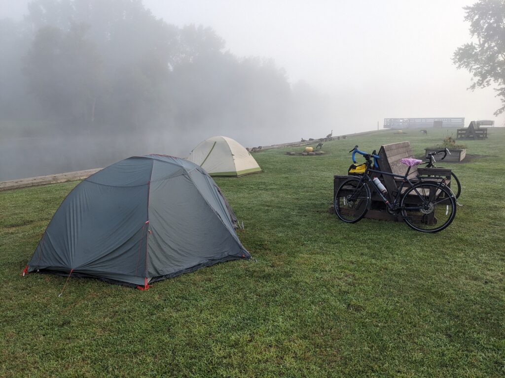
In the middle of that stretch, the trail skirts Utica on its northeastern edge. The city of 65,000 offers practicalities and a nice train station, but little in the way of attractions. East of Utica, the trail continues on roadside bike lanes that parallel the river. It’s not the most attractive part of the route, but it feels safe. At Frankfort, the old canal peters out, and the new canal merges into the river. This typical upstate small town has a number of restaurants and a nice Marina that allows camping. We discovered they run a big heavy metal festival in early August!
The roadside lanes continue through Ilion and Mohawk before the trail separates again along the river. The scenery is nice, but there isn’t much to stop for until Little Falls, which has a cute historic district by the water. Just in case you happen to need bike parts and/or adult novelties, there is a friendly shop up Route 167 a few miles out of town. They have 27″ tires and, um, other things.
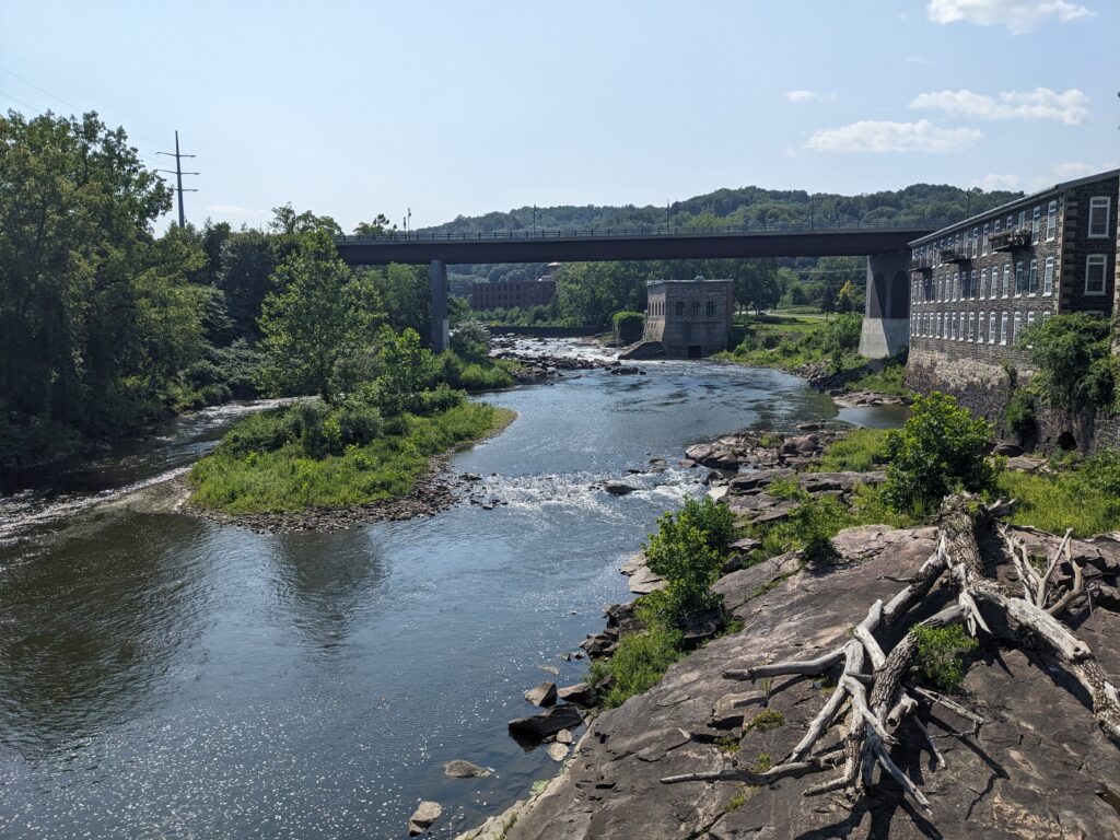
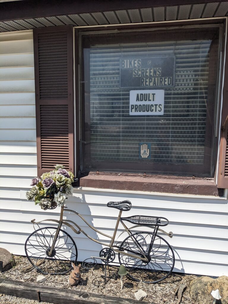
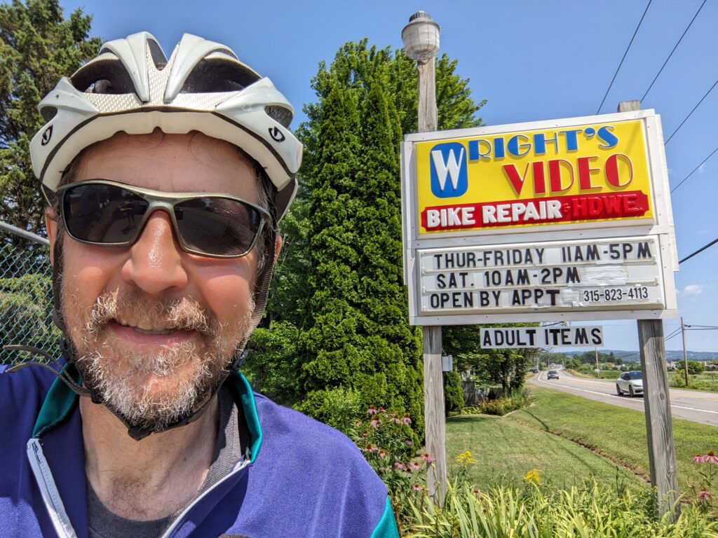
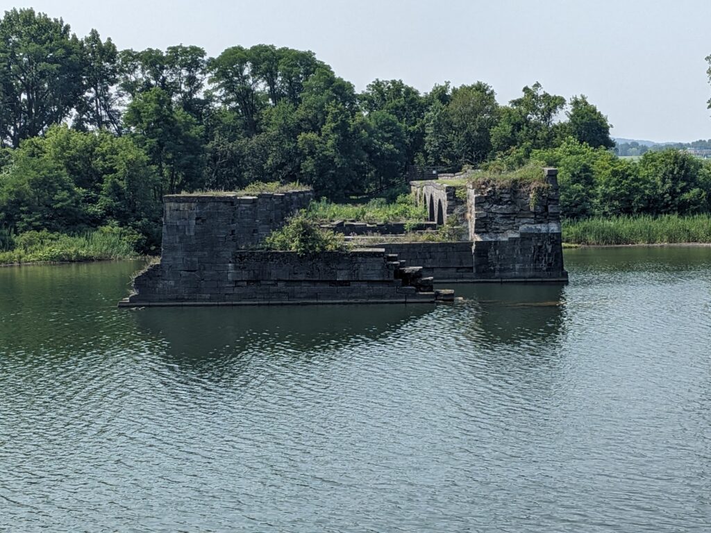
From Little Falls, the trail meanders through several small towns before reaching Canajahorie, home of the architecturally striking Arkell Museum which houses an extensive collection of American art. The next 20 miles are among the least populated on the trail, but there are couple of worthwhile stops, The National Shrine of Our Lady of Martyrs is visible from the trail. A visit is possible, but there is a big hill to climb. At the site of Old Fort Hunter, Schoharie Crossing State Historic Site is located at the intersection of the river, a big creek, and remants of several iterations of the canal, including the ruins of a large aquaduct.


Amsterdam (Mile 319):
Straddling the Mohawk about 45 miles west of Albany, Amsterdam is the most populous (18,000) city in this section of the trail. The compact downtown is attractive and dotted with restaurants. The view from the pedestrian bridge is nice. Don’t miss Amsterdam Castle, just up the hill from the trail. It’s a former armory that has been converted to a hotel and event center. The place is packed with interesting art and artifacts. It’s not officially open as a gallery, but if you go in the lobby and ask politely, the staff will probably let you check out the impressive spaces. Of course, you could also book a room.


Schenectady (Mile 336):
Out of Amsterdam, the separated trail sits beside Route 5S and the river. As it approaches Schenectady, it winds through some attractive parkland before transitioning to the streets of the charming old Stockade neighborhood. This is a good place to stop for lunch or coffee. With a long history that includes 18th century battles, 19th century anti-slavery activism, and 20th century industrial growth, Schenectady attained fame as home to Thomas Edison’s General Electric. The city of 70,000 has seen some decline, but continues to rebuild and has sights worth exploring, like Union College, the grand Proctor’s Theater, and Central Park Rose Garden.
For the final stretch of the journey, the trail loops north of Schenectady beside the river, then meanders back south through Niskayuna toward the Hudson. In this attractive section, the trail does double duty as the Mohawk Hudson Bikeway.


Power Plant
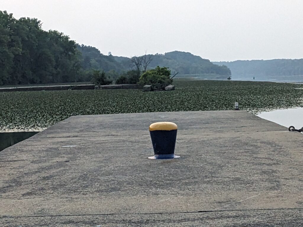
The last trailside camping is at Lock E7 in Niskayuna. It’s a lovely, quiet, remote spot next to a dam and power plant.


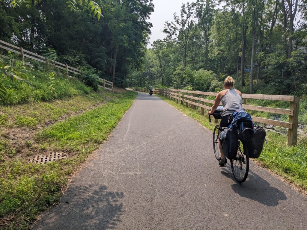
The next 10 miles of the trail get bit hilly, twisting their way through parks and neighborhoods in the suburbs north of Albany. You don’t see as much of the river here, but it’s still quite scenic. Just before the Mohawk dumps into the Hudson, the water flows through some rapids at Falls View Park in Cohoes. It’s worth a quick jump off the trail to check out the overlook.

Albany (Mile 365):
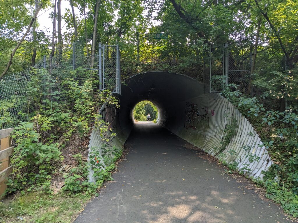
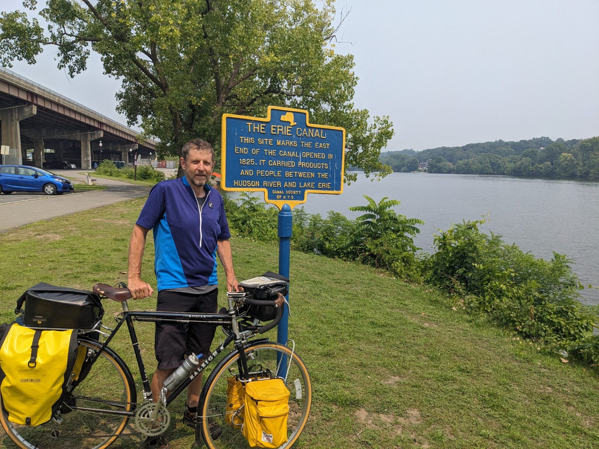 The final run into Albany feels like it takes forever. Most cyclists are ready to be finished, but the trail stretches almost 10 miles to downtown from the confluence of the rivers. It shoots down in a mostly straight line though a diverse array of neighborhoods, roughly tracing the location of the original canal, which has long since been filled in and paved over. About a mile before downtown, a trail side marker indicates the spot where it emptied into the river.
The capital city of New York has a population of 100,000 and lots to see, including the state capitol, New York State Museum, USS Slater (on the waterfront), and Washington Park.
The trek across the river back to the train station is challenging to navigate. The best option is to get bike directions on a phone. From downtown, it involves going under I-787 then doubling back on a bike lane in the middle of Quay Street between the highway and the river before taking a separated bike lake across the Dunn Memorial Bridge. Once you figure it out, it’s safe, but take your time and be careful!

Easy, Convenient Camping:
+ means you leave the trail at this point and ride the stated additional miles to the campground
Mile 250: Lock E20 (Marcy) – Primitive campsite provided by NYSCC at a functioning lock. Pit toilet and running water. FREE
Mile 265: Frankford Marina (Frankfort) – Quiet municipal campground on the trail. Ask for bathroom key at Heelpath Brewing. FREE
Mile 268: Ilion Marina (Ilion) – Municipal campground on the trail. Mixed reviews by campers. $20+
Mile 286: Lock E16 (St. Johnsonville) – Primitive campsite provided by NYSCC at a functioning lock. Close to NYS Thruway (may be noisy). Pit toilet and running water. FREE
Mile 288: St. Johnsonville Marina (St. Johnsonville) – Municipal campground on the Mohawk River. $10
Mile 293: Lock E15 (Fort Plain) – Primitive campsite provided by NYSCC at a functioning lock. Close to NYS Thruway (may be noisy). Pit toilet and running water. FREE
Mile 328: Lock E9 (Rotterdam Junction) – Primitive campsite provided by NYSCC at a functioning lock. Pit toilet and running water. FREE
Mile 345: Lock E7 (Niskayuna) – Primitive campsite provided by NYSCC at a functioning lock. Well maintained. Nice remote location. Pit toilet and running water. FREE
Mile 356 (+2): Canal Visitor Center (Waterford) – A bit off the trail on the Mohawk River near Peebles Island State Park.
This is an exceptional tour that is suitable for both beginner and intermediate cyclists. The route is beautiful, most of the trail is off-road, and there are few hills to climb. The unpaved sections are generally in good condition. I’ve ridden it three times and would happily do the whole thing again.
Not many tours get 5 stars on my scale. This one does. If you live in the northeast and haven’t done this ride…start planning now and get out there soon. If you can’t manage 8-10 days to ride the whole thing at once, break it into sections and take advantage of the excellent train service.
Enjoy the ride!
The